Price in Carbon County, Utah — The American Mountains (Southwest)
Carbon Tabernacle
Photographed by Bill Kirchner, September 30, 2018
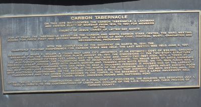
1. Carbon Tabernacle Marker
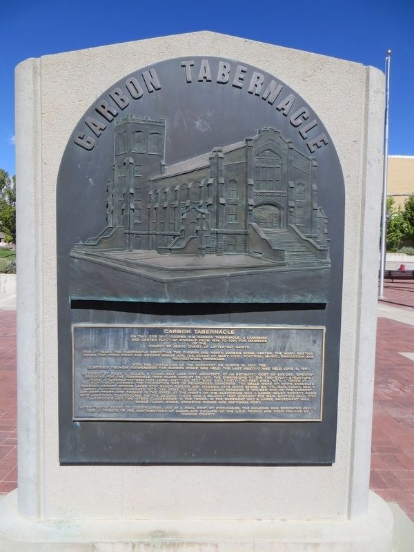
For 47 years the Tabernacle served as the Carbon and North Carbon Stake Center, the ward meetinghouse for Price First and Second Wards and the scene of many civic, political, graduations and recreational programs.
With the completion of the basement on March 14, 1914, the quarterly two-day conference for Carbon Stake was held. The last meeting was held June 4, 1961.
Designed by Miles E. Miller, a young Salt Lake City architect, at an estimated cost of $35,000. Ground breaking for the Tabernacle took place August 28, 1911. The dimensions of the two-story structure were a hundred-fifteen feet long, sixty-six feet wide and thirty-two feet high, with a tower at the northwest corner. The foundation was of reinforced concrete, the walls were of white enamel pressed cement bricks layed with black mortar and trimmed with white stone. On the main floor was a large auditorium furnished with oak pews to seat a thousand persons. It housed one of the largest
this page online
After twelve years of construction, and at a final cost of $100,046.62, the building was dedicated July 1, 1923, a tribute to the contributions of labor and dollars of the L.D.S. people and their friends of Carbon County.
Topics. This historical marker is listed in this topic list: Religion & Religious Structures. A significant historical date for this entry is March 14, 1914.
Location. 39° 35.983′ N, 110° 48.512′ W. Marker is in Price, Utah, in Carbon County. It is on East Main Street east of North 100 East, on the right when traveling west. Touch for map. Marker is in this post office area: Price UT 84501, United States of America. Touch for directions.

Regionally, this marker is in Canyon Country. It is also in the American Mountain West, on the Colorado Plateau, and at the Four Corners.

Photographed by Bill Kirchner, September 30, 2018
2. Carbon Tabernacle Marker
Other nearby markers. At least 8 other markers are within walking distance of this marker: Hiawatha Honor Roll (a few steps from this marker); Peace Gardens (a few steps from this marker); Carbon County Coal Miners' Memorial (within shouting distance of this marker); First Meeting House (about 300 feet away, measured in a direct line); Price Municipal Building (about 300 feet away); GE Steam Turbine (about 400 feet away); Harding School (about 500 feet away); Matt Warner Home (about 600 feet away). Touch for a list and map of all markers in Price.
Photographed by Bill Kirchner, September 30, 2018
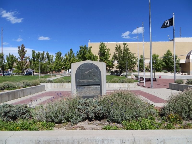
3. Carbon Tabernacle Marker
Credits. This page was last revised on April 13, 2020. It was originally submitted on April 13, 2020, by Bill Kirchner of Tucson, Arizona. This page has been viewed 892 times since then and 75 times this year. Photos: 1, 2, 3. submitted on April 13, 2020, by Bill Kirchner of Tucson, Arizona.
