Helper in Carbon County, Utah — The American Mountains (Southwest)
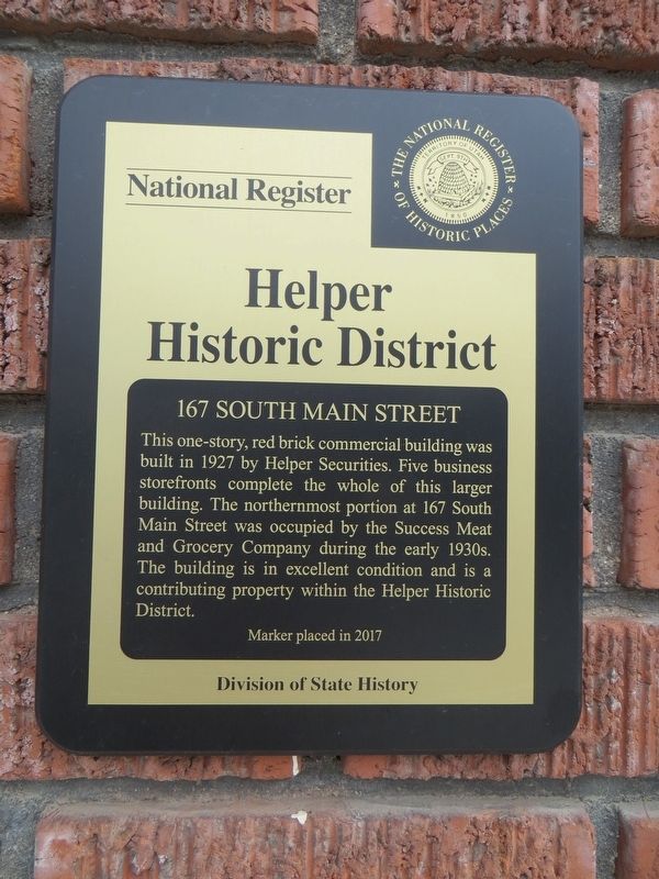
167 South Main Street
Helper Historic District
Photographed by Bill Kirchner, September 30, 2018
1. 167 South Main Street Marker
Erected 2017 by Division of State History.
Topics. This historical marker is listed in this topic list: Notable Buildings. A significant historical year for this entry is 1927.
Location. 39° 41.06′ N, 110° 51.267′ W. Marker is in Helper, Utah, in Carbon County. It is on South Main Street, on the right when traveling north. Touch for map. Marker is at or near this postal address: 167 South Main Street, Helper UT 84526, United States of America. Touch for directions.

Regionally, this marker is in Canyon Country. It is also in the American Mountain West, on the Colorado Plateau, and at the Four Corners. Globally, it is in North America, the Western Hemisphere, the Western World, and the Anglosphere. Historically, it finds

this page online
Other nearby markers. At least 8 other markers are within walking distance of this marker: Smart Shop (a few steps from this marker); The Barboglio Building (within shouting distance of this marker); Helper Securities Block (within shouting distance of this marker); Helper Main Street (about 300 feet away, measured in a direct line); Charles A. Bertolino Building (about 400 feet away); 80 South Main Street (about 500 feet away); Carbon Hotel (about 500 feet away); Matt Warner (about 500 feet away). Touch for a list and map of all markers in Helper.
Photographed by Bill Kirchner, September 30, 2018
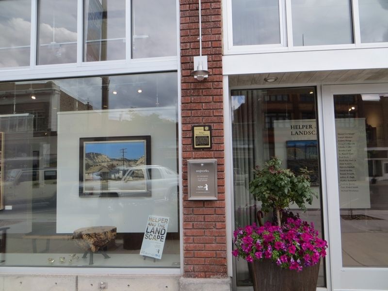
2. 167 South Main Street Marker
Photographed by Bill Kirchner, September 30, 2018
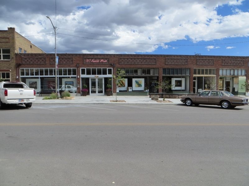
3. 167 South Main Street
Credits. This page was last revised on April 15, 2020. It was originally submitted on April 15, 2020, by Bill Kirchner of Tucson, Arizona. This page has been viewed 308 times since then and 16 times this year. Photos: 1, 2, 3. submitted on April 15, 2020, by Bill Kirchner of Tucson, Arizona.
