South Glens Falls in Saratoga County, New York — The American Northeast (Mid-Atlantic)
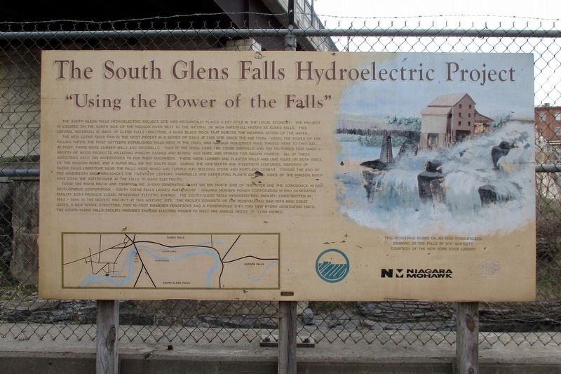
The South Glens Falls Hydroelectric Project
“Using the Power of the Falls”
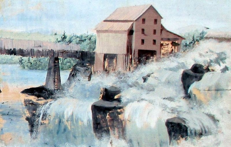
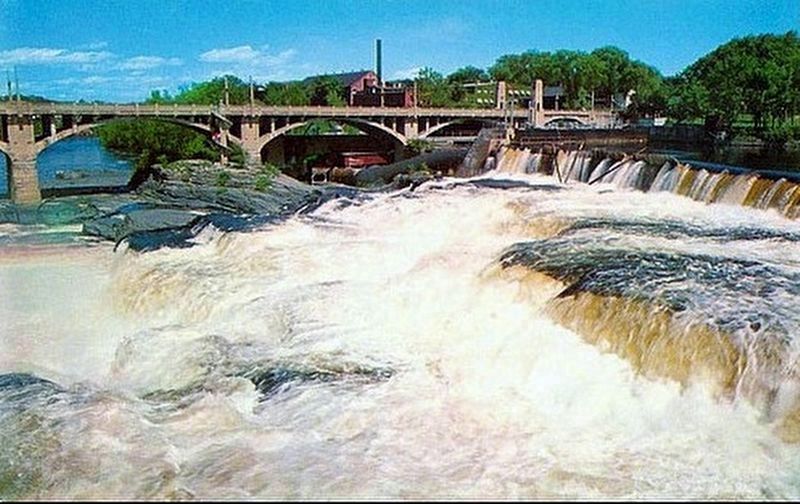
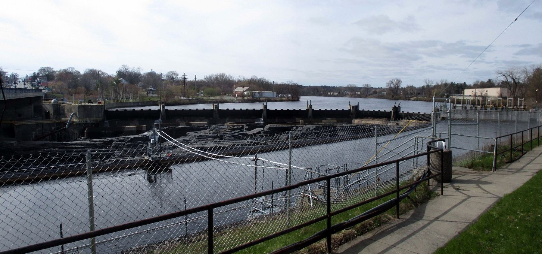
The new Glens Falls Dam is the most recent in a series of dams at this site since the mid 1700s. Using the power of the falling water, the first settlers established mills here in the 1760s, and various industries have thrived here to this day. At first, there were lumber mills and gristmills. Then in the 1800s came the stone sawmills and the factories that made a variety of wood products including window sashes and blinds, and hubs and spokes for wagon wheels. All of these industries used the waterpower to run their machinery. There were lumber and plaster mills, and lime kilns of both sides of the Hudson River, and a paper mill on the south side. During the nineteenth and twentieth centuries, deposits of Glen Falls limestone near the falls were mined and turned into building stone and Portland cement. Towards the end of the nineteenth and the beginning of the twentieth century, papermills and generating plants on both sides of the Hudson River have used the waterpower of the falls to make electricity.
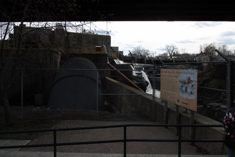
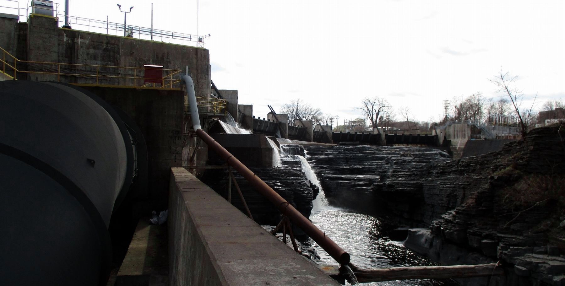
Today the finch Pruyn and Company Inc. Hydro generating plant on the north side of the river and the Adirondack Hydro Development / South Glen Falls Limited Partnership / Niagara Mohawk Power Corporation Hydro Generating Facility both produce clean, renewable electric energy. The South Glens Falls Hydroelectric Facility, constructed in 1993-1994, is the newest project at this historic site. The facility consists of the redeveloped dam with new crest gates, a new intake structure, two 16-foot diameter penstocks and a powerhouse with two new hydro generating units. The South Glens Falls Facility provides enough electric power to meet the needs of 11,000 homes.
Erected by Niagara Mohawk.
Topics. This historical marker is listed in these topic lists: Industry & Commerce • Waterways & Vessels.
Location. 43° 18.328′ N, 73° 38.438′ W. Marker is in South Glens Falls, New York, in Saratoga County. Marker is on Cooper's Cave Drive north of River Street. The marker is at the end of the Cooper's Cave Drive pedestrian spur that runs under the Cooper's Cave Bridge. Touch for map. Marker is in this post office area: South Glens Falls NY 12803, United States of America. Touch for directions.
Other nearby markers. At least 8 other markers are within walking distance of this marker. The Mohican Nation – Yesterday and Today (a few steps from this marker); Glens Falls and James Fenimore Cooper
(a few steps from this marker); Cooper’s Cave (within shouting distance of this marker); Glens Falls/Chepontuc (about 500 feet away, measured in a direct line); The onetime Dr. James Ferguson Office (approx. 0.4 miles away); Weber Furlong (approx. 0.4 miles away); 18th Separate Company Armory (approx. 0.4 miles away); Glens Falls War Memorial (approx. 0.4 miles away). Touch for a list and map of all markers in South Glens Falls.
Credits. This page was last revised on April 22, 2020. It was originally submitted on April 18, 2020, by Larry Gertner of New York, New York. This page has been viewed 487 times since then and 67 times this year. Photos: 1, 2, 3, 4. submitted on April 18, 2020, by Larry Gertner of New York, New York. 5. submitted on April 20, 2020, by Larry Gertner of New York, New York. 6. submitted on April 18, 2020, by Larry Gertner of New York, New York. • Michael Herrick was the editor who published this page.
