Coarsegold in Madera County, California — The American West (Pacific Coastal)
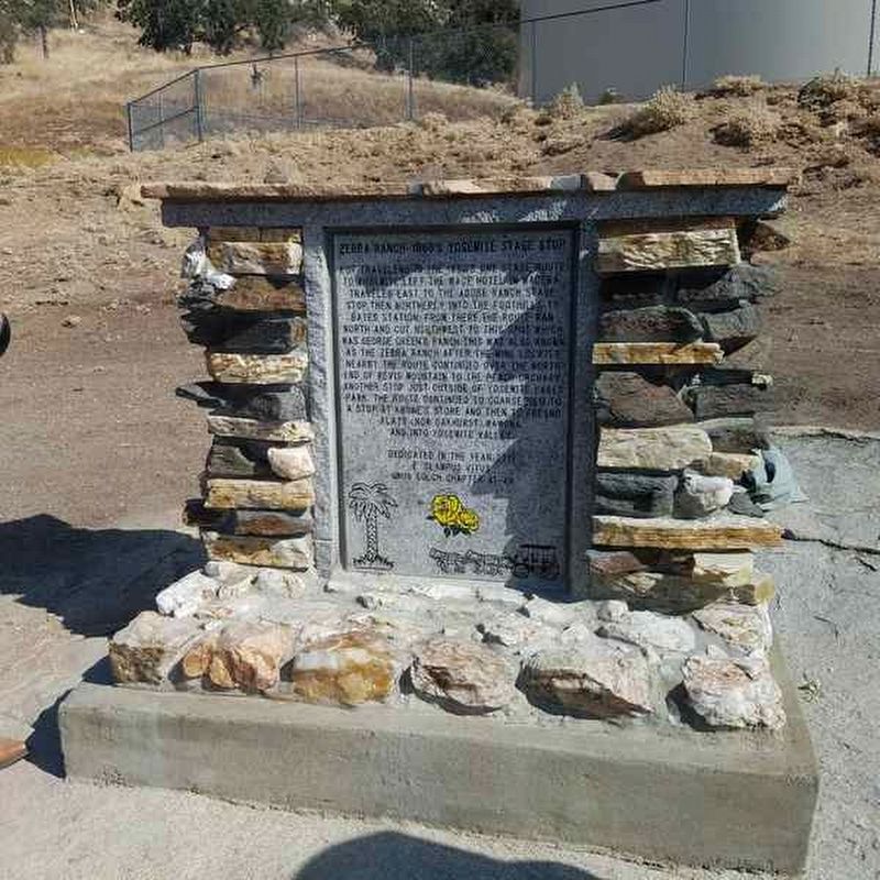
Zebra Ranch - 1880's Yosemite Stage Route
Inscription.
For travelers in the 1880's one stage route to Yosemite left the Maxe Hotel in Madera, traveled east to the Adobe Ranch Stage Stop, then northerly into the foothills to Bates Station. From there the route ran north and cut northwest to this spot which was George Green's Ranch. This was also known as the Zebra Ranch after the mine located nearby. The route continued over the north end of Revis Mountain to the Peach Orchard, another stop just outside of Yosemite Lakes Park. The route continued to Coarsegold for a stop at Krone's Store and then to Fresno Flats (now Oakhurst), Wawona, and into Yosemite Valley.
Erected by Grub Gulch Chapter 41-49 E Clampus Vitus.
Topics and series. This historical marker is listed in this topic list: Roads & Vehicles. In addition, it is included in the E Clampus Vitus series list.
Location. 37° 10.397′ N, 119° 47.438′ W. Marker is in Coarsegold, California, in Madera County. Marker can be reached from Long Hollow Court. At the end of Long Hollow Ct. follow the main dirt road. Marker is in front of the water tank at the end of the dirt road. Touch for map. Marker is in this post office area: Coarsegold CA 93614, United States of America. Touch for directions.
Other nearby markers. At least 8 other markers are within 10 miles of this marker, measured as the crow flies. Willow Glen (approx. 5.3 miles away); Knowles (approx. 5.9 miles away); Spring Valley School (approx. 6.2 miles away); Hydraulic Mining (approx. 7 miles away); The Charles Miller House (approx. 7 miles away); Raymond (approx. 7 miles away); Coarsegold (approx. 7.9 miles away); Hildreth Stage Robbery (approx. 9.7 miles away). Touch for a list and map of all markers in Coarsegold.
Credits. This page was last revised on April 18, 2020. It was originally submitted on April 18, 2020, by Frank Gunshow Sanchez of Hollister, California. This page has been viewed 346 times since then and 38 times this year. Photo 1. submitted on April 18, 2020. • Syd Whittle was the editor who published this page.
Editor’s want-list for this marker. A readable close-up view of the marker. • Can you help?
