Oakhurst in Madera County, California — The American West (Pacific Coastal)
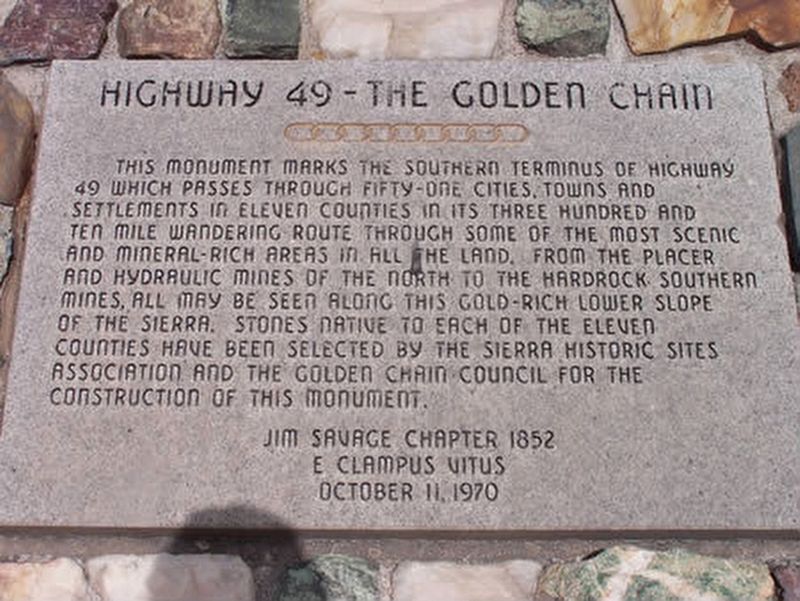
Highway 49 - The Golden Chain
Erected by Jim Savage Chapter 1852 E Clampus Vitus.
Topics and series. This historical marker is listed in this topic list: Roads & Vehicles. In addition, it is included in the E Clampus Vitus series list.
Location. 37° 19.903′ N, 119° 39.402′ W. Marker is in Oakhurst, California, in Madera County. Marker is on State Highway 49 north of State Route 41, on the right when traveling north. Touch for map. Marker is in this post office area: Oakhurst CA 93644, United States of America. Touch for directions.
Other nearby markers. At least 8 other markers are within 4 miles of this marker, measured as the crow flies. Little Church on the Hill (approx. 0.4 miles away); Old French Trail (approx. half a mile away); Fresno Flats Townsite (approx. half a mile away); Giant Sequoia Cutting (approx. 0.6 miles away); Oakhurst Centennial (approx. 0.9 miles away); Gold Rush Entertainment Lives On (approx. 2.3 miles away); Bissett Station (approx. 2.4 miles away); Madera Sugar Pine Flume (approx. 3˝ miles away). Touch for a list and map of all markers in Oakhurst.
Credits. This page was last revised on April 19, 2020. It was originally submitted on April 19, 2020, by Frank Gunshow Sanchez of Hollister, California. This page has been viewed 252 times since then and 35 times this year. Photo 1. submitted on April 19, 2020. • Syd Whittle was the editor who published this page.
Editor’s want-list for this marker. Wide area view of the marker and its surroundings. • Can you help?
