Columbia in Maury County, Tennessee — The American South (East South Central)
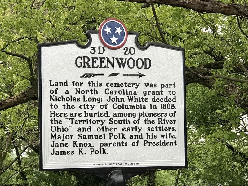
Greenwood
→
Erected by Tennessee Historical Commission. (Marker Number 3D 20.)
Topics and series. This historical marker is listed in these topic lists: Cemeteries & Burial Sites • Settlements & Settlers. In addition, it is included in the Tennessee Historical Commission series list. A significant historical year for this entry is 1808.
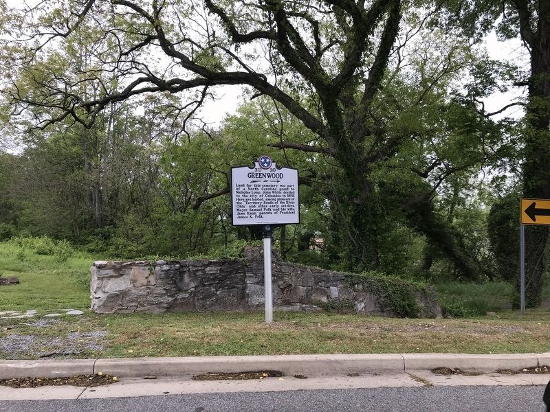
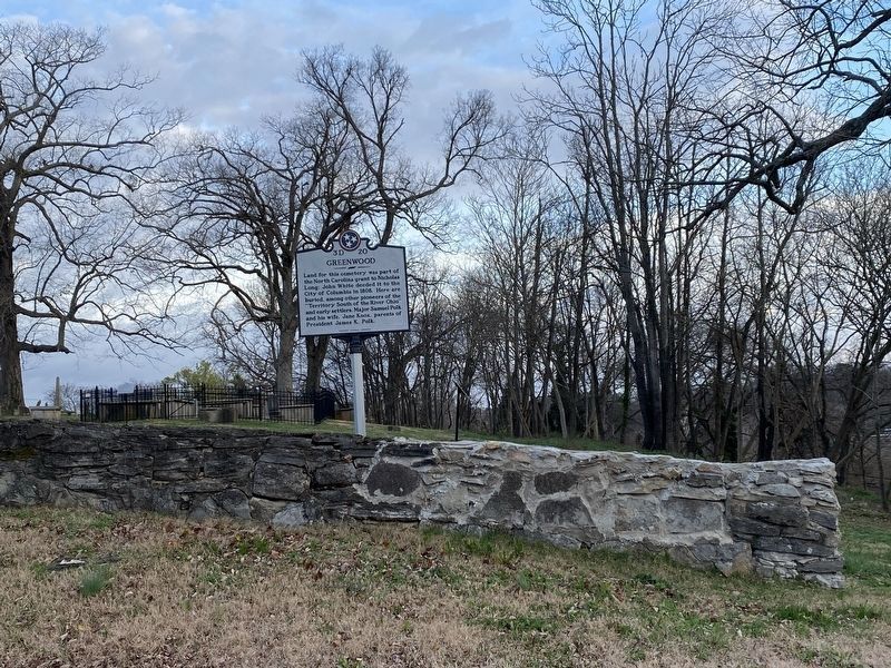
Location. 35° 37.135′ N, 87° 2.014′ W. Marker is in Columbia, Tennessee, in Maury County. Marker is at the intersection of West 4th Street and North Main Street, on the right when traveling west on West 4th Street. Touch for map. Marker is at or near this postal address: 105 W 4th St, Columbia TN 38401, United States of America. Touch for directions.
Other nearby markers. At least 8 other markers are within walking distance of this marker. Camille Leonie Herndon (a few steps from this marker); The Polk Family (within shouting distance of this marker); Jane Knox Polk Chapter (within shouting distance of this marker); The Duck River and Columbia (within shouting distance of this marker); Riverside Bridge (about 500 feet away, measured in a direct line); Freedmen's Savings Bank and Trust Company (approx. 0.2 miles away); Nelson House Hotel (approx. 0.2 miles away); Saint Paul African Methodist Episcopal Church (approx. ¼ mile away). Touch for a list and map of all markers in Columbia.
Credits. This page was last revised on December 1, 2022. It was originally submitted on April 19, 2020, by Duane and Tracy Marsteller of Murfreesboro, Tennessee. This page has been viewed 181 times since then and 16 times this year. Photos: 1, 2. submitted on April 19, 2020, by Duane and Tracy Marsteller of Murfreesboro, Tennessee. 3. submitted on November 4, 2022, by Darren Jefferson Clay of Duluth, Georgia. • Devry Becker Jones was the editor who published this page.


