Marker Logo
THE HISTORICAL
MARKER DATABASE
“Bite-Size Bits of Local, National, and Global History”
Near Vernon in Washington County, Florida — The American South (South Atlantic)
 

Native Americans in Holmes Valley
 
 
Native Americans in Holmes Valley Marker image. Click for full size.
Photographed by Tim Fillmon, March 24, 2020
1. Native Americans in Holmes Valley Marker
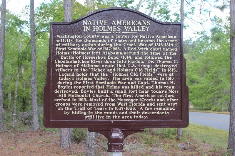
Inscription. Washington County was a center for Native American activity for thousands of years and became the scene of military action during the Creek War of 1813-1814 & First Seminole War of 1817-1818. A Red Stick chief named Holms (Holmes) left Alabama around the time of the Battle of Horseshoe Bend (1814) and followed the Choctawhatchee River down into Florida. Dr. Thomas G. Holmes of Alabama wrote that U.S. troops destroyed villages in the "Uchee and Holmes Old Fields" in 1815. Legend holds that the "Holmes Old Fields" were at today's Holmes Valley. The area was raided in 1818 during the First Seminole War and Capt. Thomas H. Boyles reported that Holms was killed and his town destroyed. Boyles built a small fort near today's Moss Hill Methodist Church. The first American settlers arrived in 1891. Most of the Muscogee (Creek) and other groups were removed from West Florida and sent west on the Trail of Tears in 1837-1838. A few remained by hiding in the woods and their descendants still live in the area today.
 
Topics. This historical marker is listed in these topic lists: Indigenous Peoples and CommunitiesSettlements & Settlers
Paid Advertisement
Click or scan to see
this page online
War of 1812. A significant historical year for this entry is 1814.
 
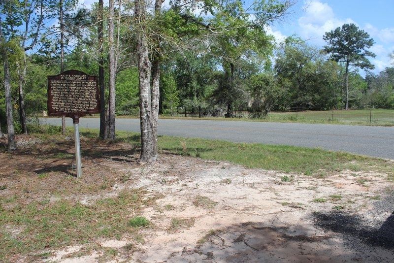
Location. 30° 34.669′ N, 85° 44.475′ W. Marker is near Vernon, Florida, in Washington County. It is on Holmes Valley Road 0.2 miles east of Reno Road, on the left when traveling east. Touch for map. Marker is at or near this postal address: 3810 Holmes Valley Road, Vernon FL 32462, United States of America. Touch for directions.

Regionally, this marker is on the Florida Panhandle. It is also in the American South and specifically in the Deep South. Globally, it is in the North Atlantic Region, North America, a Gulf of Mexico state, the Western Hemisphere, the Western World, and the Anglosphere. Historically, it finds itself in what was once New Spain, the territory of the Mississippian Culture, one of the Confederate States of America, and the Antebellum South.

Other nearby markers. At least 8 other markers are within 18 miles of this marker, measured as the crow flies: Shady Grove Elementary School For African American Children (approx. 2.9 miles away); Vernon Old School (approx. 3.6 miles away); Vernon, Florida (approx. 3.7 miles away); Moss Hill (approx.
Native Americans in Holmes Valley Marker image. Click for full size.
Photographed by Tim Fillmon, March 24, 2020
2. Native Americans in Holmes Valley Marker
3.8 miles away); Hinson's Crossroads (approx. 8.7 miles away); Hard Labor Church (approx. 10.3 miles away); Florida Honors and Remembers our POW’s and MIA’s (approx. 14.6 miles away); Kudzu Developed Here (approx. 17.8 miles away). Touch for a list and map of all markers in Vernon.
 
Native Americans in Holmes Valley Marker image. Click for full size.
Photographed by Tim Fillmon, March 24, 2020
3. Native Americans in Holmes Valley Marker
 
 
Credits. This page was last revised on April 20, 2020. It was originally submitted on April 19, 2020, by Tim Fillmon of Webster, Florida. This page has been viewed 2,847 times since then and 191 times this year. Photos:   1, 2, 3. submitted on April 19, 2020, by Tim Fillmon of Webster, Florida. • Bernard Fisher was the editor who published this page.

m=148539

CeraNet Cloud Computing sponsors the Historical Marker Database.
This website earns income from purchases you make after using our links to Amazon.com. We appreciate your support.
Paid Advertisement
Jul. 7, 2026