Semmes in Mobile County, Alabama — The American South (East South Central)
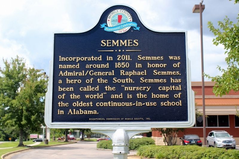
Semmes
Erected by Bicentennial Commission of Mobile County, Inc.
Topics. This historical marker is listed in this topic list: Settlements & Settlers. A significant historical year for this entry is 1850.
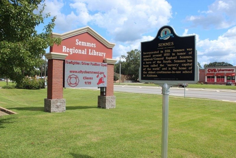
Location. 30° 46.738′ N, 88° 15.516′ W. Marker is in Semmes, Alabama, in Mobile County. Marker is at the intersection of Moffett Road (U.S. 98) and McCray Road on Moffett Road. Marker is located in front of the Semmes Regional Library. Touch for map. Marker is at or near this postal address: 9150 Moffett Road, Semmes AL 36575, United States of America. Touch for directions.
Other nearby markers. At least 8 other markers are within 9 miles of this marker, measured as the crow flies. Semmes First Baptist Church (approx. ¼ mile away); Semmes Heritage Park (approx. half a mile away); Blackwell House (approx. 0.7 miles away); Crawford Methodist Cemetery, Mobile County (approx. 3 miles away); New Hope Gardens (approx. 7.3 miles away); Miller Family Cemetery (approx. 8.3 miles away); Sand Town (approx. 8.6 miles away); St. Bridget's Catholic Church (approx. 8.8 miles away). Touch for a list and map of all markers in Semmes.
Credits. This page was last revised on April 20, 2020. It was originally submitted on April 19, 2020, by Tim Fillmon of Webster, Florida. This page has been viewed 313 times since then and 30 times this year. Photos: 1, 2. submitted on April 19, 2020, by Tim Fillmon of Webster, Florida. 3. submitted on April 20, 2020, by Mark Hilton of Montgomery, Alabama. • Mark Hilton was the editor who published this page.


