Urban Core in Jacksonville in Duval County, Florida — The American South (South Atlantic)
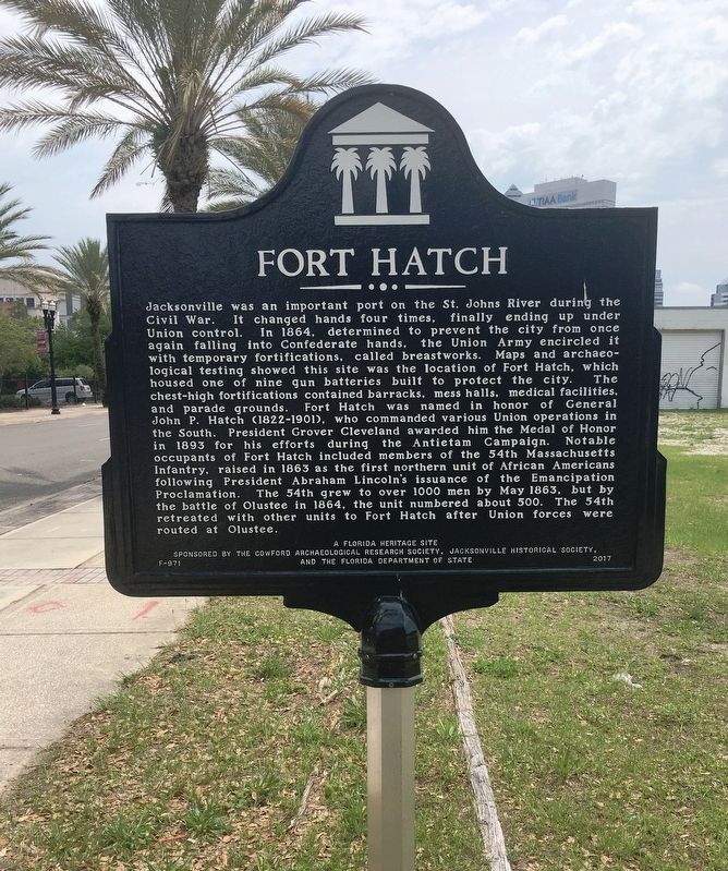
Fort Hatch
Jacksonville was an important port on the St. Johns River during the Civil War. It changed hands four times, finally ending up under Union control. In 1864, determined to prevent the city from once again falling into Confederate hands, the Union Army encircled it with temporary fortifications, called breastworks. Maps and archaeological testing showed this site was the location of Fort Hatch, which housed one of nine gun batteries built to protect the city. The chest-high fortifications contained barracks, mess halls, medical facilities, and parade grounds. Fort Hatch was named in honor of General John P. Hatch (1822-1901), who commanded various Union operations in the South. President Grover Cleveland awarded him the Medal of Honor in 1893 for his efforts during the Antietam Campaign. Notable occupants of Fort Hatch included members of the 54th Massachusetts Infantry, raised in 1863 as the first northern unit of African Americans following President Abraham Lincoln’s issuance of the Emancipation Proclamation. The 54th grew to over 1000 men by May 1863, but by the battle of Olustree in 1864, the unit numbered about 500. The 54th retreated with other units to Fort Hatch after Union forces were routed at Olustee.
Erected 2017 by A Florida heritage site, Sponsored by the Cowford Archaeological Research Society, Jacksonville Historical Society and the Florida Department of State. (Marker Number F-971.)
Topics and series. This memorial is listed in these topic lists: African Americans • Forts and Castles • War, US Civil. In addition, it is included in the Former U.S. Presidents: #22 and #24 Grover Cleveland series list. A significant historical month for this entry is May 1863.
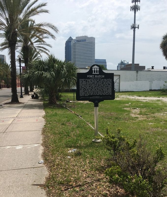
Location. 30° 19.799′ N, 81° 40.098′ W. Marker is in Jacksonville, Florida, in Duval County. It is in Urban Core. Memorial is at the intersection of West Adams Street and North Davis Strret, on the right when traveling west on West Adams Street. Touch for map. Marker is at or near this postal address: 800 W Adams St, Jacksonville FL 32204, United States of America. Touch for directions.
Other nearby markers. At least 8 other markers are within walking distance of this marker. Old Brewster Hospital (about 400 feet away, measured in a direct line); John Rosamond Johnson (about 600 feet away); James Weldon Johnson (about 600 feet away); The Line of Intrenchments (approx. 0.2 miles away); El Modelo Cigar Factory (approx. 0.3 miles away); "Old Stanton" High School (approx. 0.3 miles away); United States Railroad Administration Locomotive (approx. 0.4 miles away); Ossachite (approx. 0.4 miles away). Touch for a list and map of all markers in Jacksonville.
Credits. This page was last revised on February 3, 2023. It was originally submitted on April 19, 2020, by Brandon D Cross of Flagler Beach, Florida. This page has been viewed 497 times since then and 79 times this year. Photos: 1, 2. submitted on April 19, 2020, by Brandon D Cross of Flagler Beach, Florida. • Bernard Fisher was the editor who published this page.

