Near Spanish Fork in Utah County, Utah — The American Mountains (Southwest)
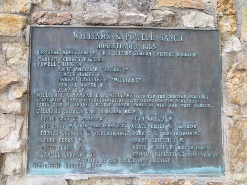
Williams & Powell Ranch
Homesteaded 1885
Photographed by Bill Kirchner, October 1, 2018
1. Williams & Powell Ranch Marker
Powell children:
Edith Amelia P. "Sackett"
Simeon James P.
Hannah Caroline P. "Williams"
Samuel March P.
Alma J. P.
William T. & Hannah C. P. Williams acquired the original property along with other property totaling 5,000 acres in the Tie Fork and South Side of Canyon. Include ranch homes at mine and west canyon.
Williams children born or reared here:
Edith Last W. "Robertson" - Roth Amelia W.
Ann Rees W. "Twin-Died in Infancy"* - Grace Emily W. "Jacobsen"
Thomas Cornaby W. "died in Infancy"* - Dora C. W. "Died in Infancy"*
Allen Berry W. - Grant Griffiths W.
David Clark W. - Doris Pearl W. "Died in Infancy"*
Samuel Coraby W. - Hannah Willett W. " Kelly-Reisner"
*Buried at the Tucker Town Cemetery
Erected 1980.
Topics. This historical marker is listed in this topic list: Settlements & Settlers. A significant historical year for this entry is 1885.
Location. 39° 57.039′ N, 111° 13.02′ W. Marker is near Spanish Fork, Utah, in Utah County. It can be reached from U.S. 6 at milepost 202, on the right when traveling
this page online

Regionally, this marker is in the Wasatch Front and in Greater Provo. It is also in the American Mountain West and on the Colorado Plateau. Globally, it is in North America, the Rocky Mountains, the Western Hemisphere, the Western World, and the Anglosphere. Historically, it finds itself in what was once New Spain and also Mexico’s Alta California.
Other nearby markers. At least one other marker is within 8 miles of this marker, measured as the crow flies: Soldier Summit - A Failed Experiment (approx. 7.4 miles away).
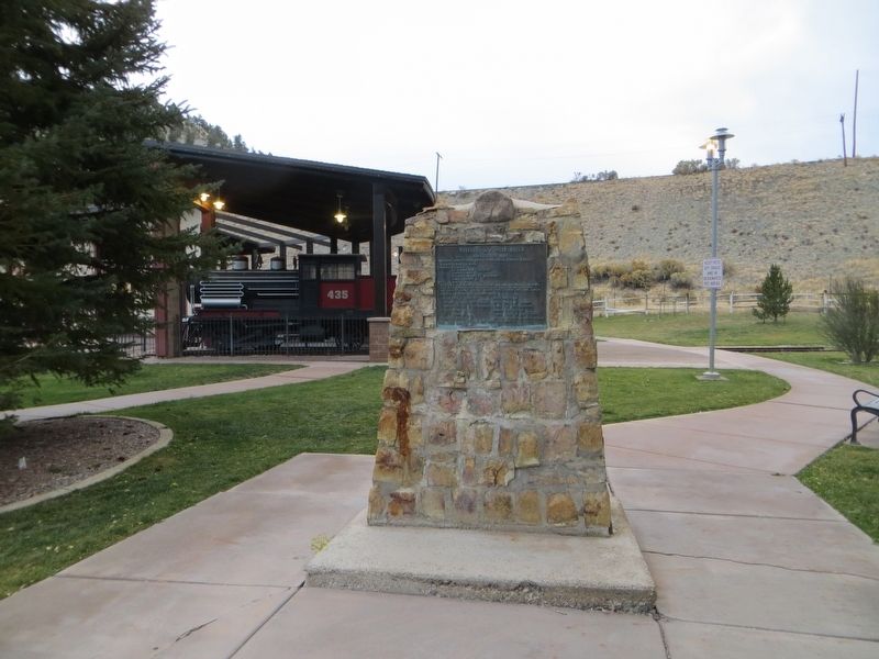
Photographed by Bill Kirchner, October 1, 2018
2. Williams & Powell Ranch Marker
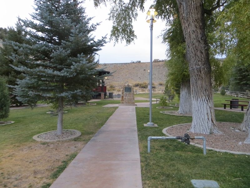
Photographed by Bill Kirchner, October 1, 2018
3. Williams & Powell Ranch Marker
Credits. This page was last revised on April 20, 2020. It was originally submitted on April 20, 2020, by Bill Kirchner of Tucson, Arizona. This page has been viewed 526 times since then and 42 times this year. Photos: 1, 2, 3. submitted on April 20, 2020, by Bill Kirchner of Tucson, Arizona.
