Spanish Fork in Utah County, Utah — The American Mountains (Southwest)
Spanish Fork Heritage Cemetery
Photographed by Bill Kirchner, October 1, 2018
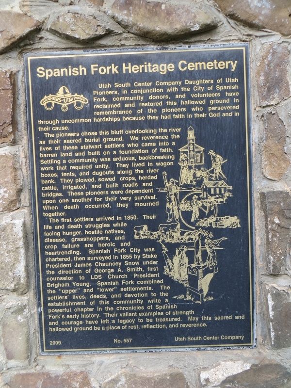
1. Spanish Fork Heritage Cemetery Marker
The pioneers chose this bluff overlooking the river as their sacred burial ground. We reverence the lives of these stalwart settlers who came into a barren land and built on a foundation of faith. Settling a community was arduous, backbreaking work that required unity. They lived in wagon boxes, tents, and dugouts along the river bank. They plowed, sowed crops, herded cattle, irrigated, and built roads and bridges. These pioneers were dependent upon one another for their very survival. When death occurred, they mourned together.
The first settlers arrived in 1850. Their life and death struggles while facing hunger, hostile natives, disease, grasshoppers, and crop failure are heroic and heartrending. Spanish Fork City was chartered, then surveyed in 1855 by Stake President James Chauncey Snow under the direction
this page online
Erected 2009 by Daughters of Utah Pioneers, Utah South Center Company. (Marker Number 557.)
Topics and series. This historical marker is listed in this topic list: Cemeteries & Burial Sites. In addition, it is included in the Daughters of Utah Pioneers series list. A significant historical year for this entry is 1850.
Location. 40° 5.131′ N, 111° 37.746′ W. Marker is in Spanish Fork, Utah, in Utah County. It is at the intersection of 1530 East and 1900 South, on the right when traveling south on 1530 East. Touch for map. Marker is in this post office area: Spanish Fork UT 84660, United States of America. Touch for directions.

Regionally, this marker is in the Wasatch Front and in
Photographed by Bill Kirchner, October 1, 2018
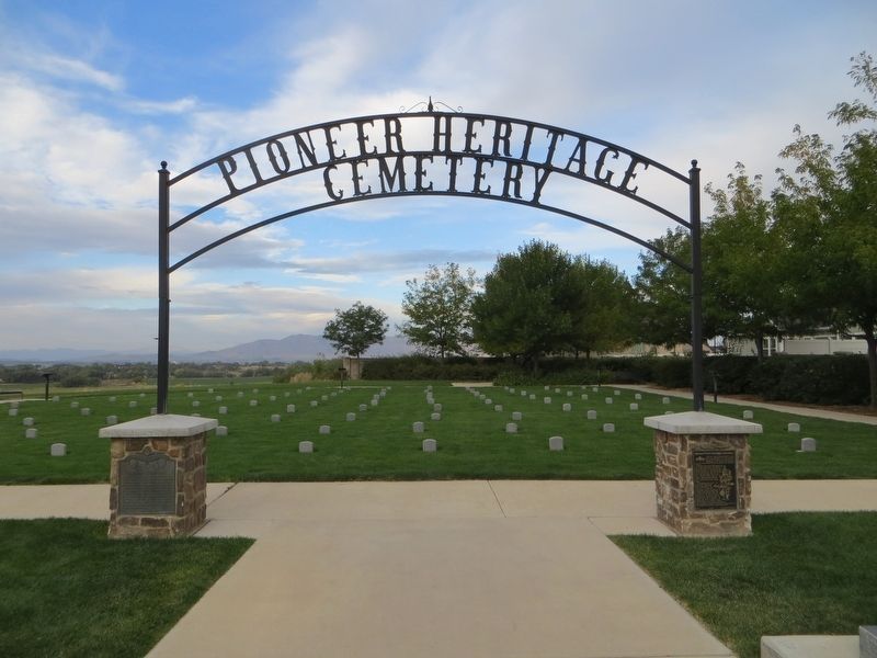
2. Spanish Fork Heritage Cemetery Marker on the right
Pioneer Cemetery Marker is on the left.
Other nearby markers. At least 8 other markers are within 3 miles of this marker, measured as the crow flies: Pioneer Cemetery (here, next to this marker); First Settlement of Icelanders in the United States (approx. 1½ miles away); Spanish Fork Grist Mills (approx. 1.7 miles away); Dominguez y Escalante Expedition (approx. 1.9 miles away); Old Fort (approx. 2.1 miles away); The Lush Valley of the Timpanogotzis (approx. 2.1 miles away); Escalante (approx. 2.1 miles away); Old Academy (approx. 2½ miles away). Touch for a list and map of all markers in Spanish Fork.
Photographed by Bill Kirchner, October 1, 2018
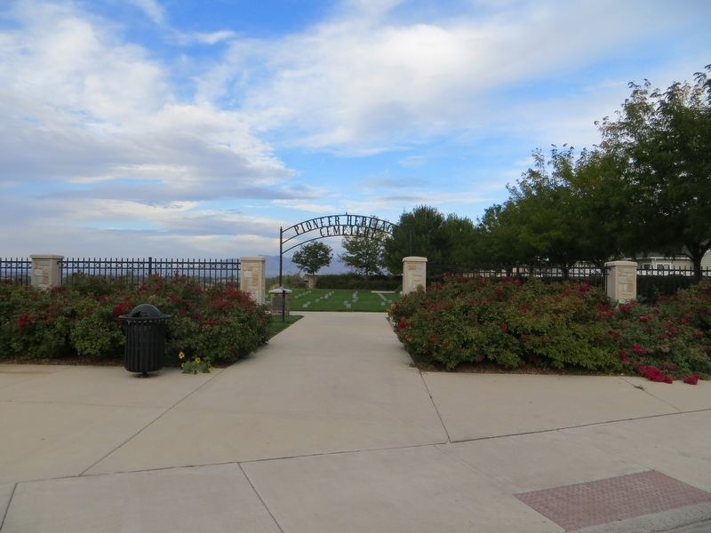
3. Spanish Fork Heritage Cemetery
Credits. This page was last revised on April 20, 2020. It was originally submitted on April 20, 2020, by Bill Kirchner of Tucson, Arizona. This page has been viewed 785 times since then and 37 times this year. Photos: 1, 2, 3. submitted on April 20, 2020, by Bill Kirchner of Tucson, Arizona.
