Spokane in Spokane County, Washington — The American West (Northwest)
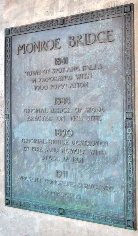
Monroe Bridge
Town of Spokane Falls
incorporated with
1000 population
1888
Original bridge of wood
erected on this site
1890
Original bridge destroyed
by fire, and rebuilt with
steel in 1891
1911
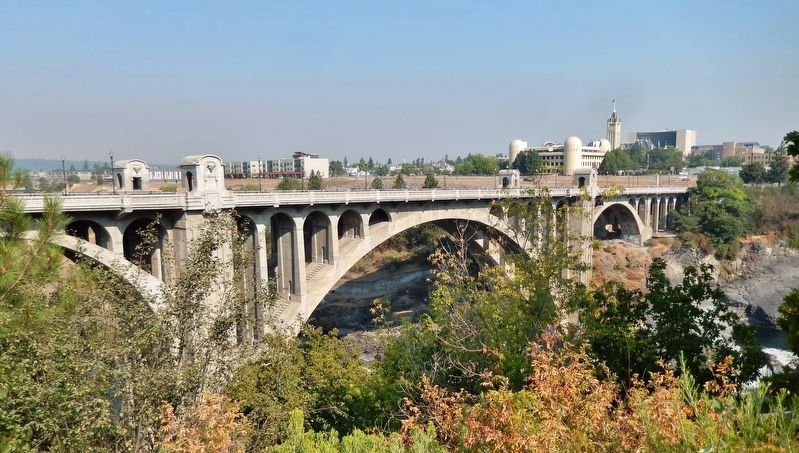
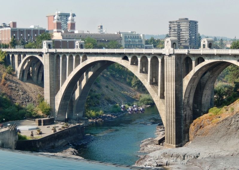
Present concrete structure
completed
Topics. This historical marker is listed in this topic list: Bridges & Viaducts.
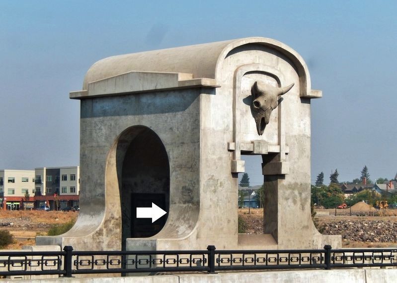
Location. 47° 39.663′ N, 117° 25.588′ W. Marker is in Spokane, Washington, in Spokane County. Marker is on North Monroe Street, 0.1 miles north of West Main Avenue, on the right when traveling north. Marker is mounted on the northeast pier of the subject Monroe Bridge. Touch for map. Marker is in this post office area: Spokane WA 99201, United States of America. Touch for directions.
Other nearby markers. At least 8 other markers are within walking distance of this marker. Spokane River (about 500 feet away, measured in a direct line); The First Bridges (about 500 feet away); Symbol of Spokane (about 500 feet away); Monroe Street Bridge (about 500 feet away); Post Street Bridge (about 700 feet away); Spokane's Electric Streetcars (about 700 feet away); Post Street Substation (about 700 feet away); Abraham Lincoln (about 700 feet away). Touch for a list and map of all markers in Spokane.
Regarding Monroe Bridge. National Register of Historic Places #76001920.
Related markers. Click here for a list of markers that are related to this marker. Monroe Street Bridge
Also see . . . Monroe Street Bridge (Wikipedia). The current bridge of 1911 is the third in this location. The first, a rather rickety wooden structure, was built in 1889. It was closed for a time due to arguments in the city over rights of passage and ownership, and burned down in 1890. The second was a steel bridge that opened in 1892. It vibrated badly and had a noticeable dip in the center. (Submitted on April 21, 2020, by Cosmos Mariner of Cape Canaveral, Florida.)
Credits. This page was last revised on April 21, 2020. It was originally submitted on April 21, 2020, by Cosmos Mariner of Cape Canaveral, Florida. This page has been viewed 130 times since then and 10 times this year. Photos: 1, 2, 3, 4. submitted on April 21, 2020, by Cosmos Mariner of Cape Canaveral, Florida.


