Hagerstown in Washington County, Maryland — The American Northeast (Mid-Atlantic)
Hagerstown & The National Road
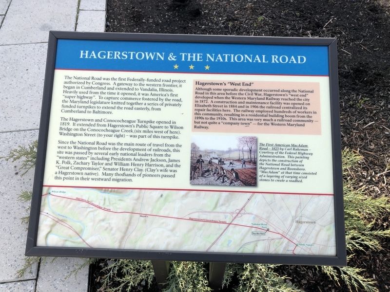
The National Road was the first Federally-funded road project authorized by Congress. A gateway to the western frontier, it began in Cumberland and extended to Vandalia, Illinois. Heavily used from the time it opened, it was America's first "super highway". To capture commerce fostered by the road, the Maryland legislature knitted together a series of privately funded turnpikes to extend the road easterly, from Cumberland to Baltimore.
The Hagerstown and Conococheague Turnpike opened in 1819. It extended from Hagerstown's Public Square to Wilson Bridge on the Conococheague Creek (six miles west of here). Washington Street (to your right) — was part of this turnpike.
Since the National Road was the main route of travel from the west to Washington before the development of railroads, this site was passed by several early national leaders from the "western states" including Presidents Andrew Jackson, James K. Polk, Zachary Taylor and William Henry Harrison, and the "Great Compromiser," Senator Henry Clay. (Clay's wife was a Hagerstown native). Many thousands of pioneers passed this point in their westward migration.
[Aside:]
Hagerstown's "West End"
Although some sporadic development occurred along the National Road in this area before the Civil War, Hagerstown's "west end" developed when the Western Maryland Railway reached the city in 1872. A construction and maintenance facility was opened on Elizabeth Street in 1884 and in 1906 the railroad centralized its repair facilities here. The railway employed hundreds of workers in this community, resulting in a residential building boom from the 1890s to the 1910s. This area was very much a railroad community — but not quite a "company town" — for the Western Maryland Railway.
[Caption:]
The First American MacAdam Road - 1823 by Carl Rakeman — Courtesy of the Federal Highway Administration. This painting depicts the construction of the National Road between Hagerstown and Boonsboro. "MacAdam" at that time consisted of a layering of varying sized stones to create a roadbed.
Topics and series. This historical marker is listed in these topic lists: Industry & Commerce • Railroads & Streetcars • Roads & Vehicles • Settlements & Settlers. In addition, it is included in the Former U.S. Presidents: #09 William Henry Harrison, the Former U.S. Presidents: #11 James K. Polk, the Former U.S. Presidents: #12 Zachary Taylor, and the The Historic National Road series lists. A significant historical year for this entry is 1819.
Location. 39° 38.829′ N, 77°
Other nearby markers. At least 8 other markers are within walking distance of this marker. Shenandoah Valley Railroad (approx. half a mile away); Mt. Aetna Cannon (approx. half a mile away); The Cumberland Valley Railroad (approx. half a mile away); Vietnam War Veterans Monument (approx. 0.6 miles away); Hager’s Fancy (approx. 0.6 miles away); Hager House and Museum (approx. 0.6 miles away); 113 South Prospect Street (approx. 0.6 miles away); 125 South Prospect Street (approx. 0.6 miles away). Touch for a list and map of all markers in Hagerstown.

Photographed By Devry Becker Jones (CC0), April 25, 2020
3. National Road Park
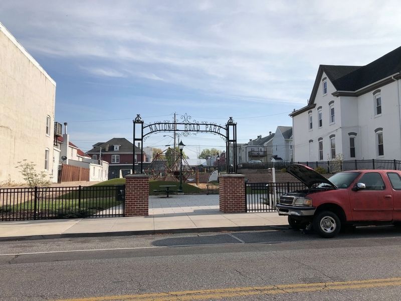
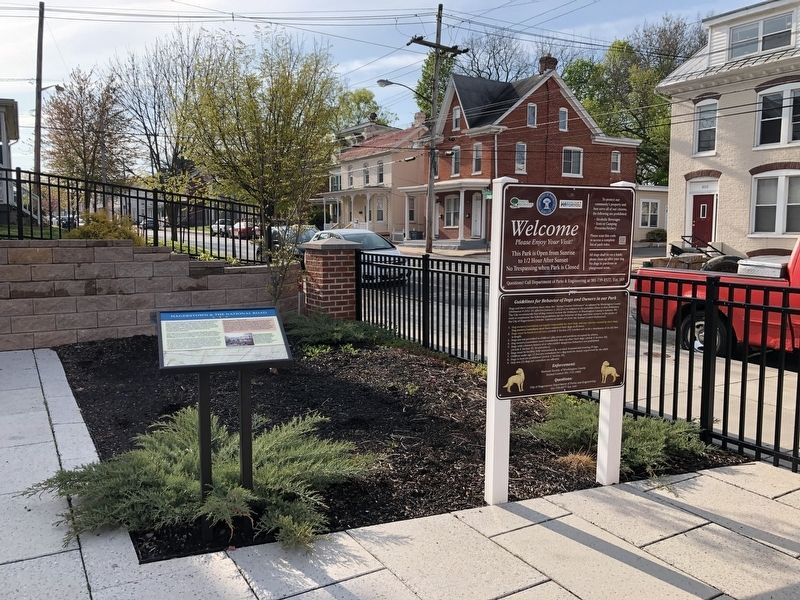
The marker is on the grounds of the park.
Credits. This page was last revised on April 25, 2020. It was originally submitted on April 25, 2020, by Devry Becker Jones of Washington, District of Columbia. This page has been viewed 307 times since then and 38 times this year. Photos: 1, 2, 3. submitted on April 25, 2020, by Devry Becker Jones of Washington, District of Columbia.

