Saint Bernard in St. Bernard Parish, Louisiana — The American South (West South Central)
St. Malo
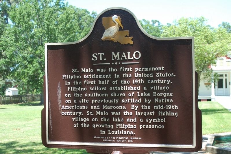
Photographed by Cajun Scrambler, April 24, 2020
1. St. Malo Marker
St. Malo was the first permanent Filipino settlement in the United States. In the first half of the 19th century, Filipino sailors established a village on the southern shore of Lake Borgne on a site previously settled by Native Americans and Maroons. By the mid-19th century, St. Malo was the largest fishing village on the lake and a symbol of the growing Filipino presence in Louisiana.
Erected by The Philippine Louisiana Historical Society, Inc.
Topics. This historical marker is listed in these topic lists: Asian Americans • Settlements & Settlers.
Location. 29° 52.054′ N, 89° 51.617′ W. Marker is in Saint Bernard, Louisiana, in St. Bernard Parish. It is on Bayou Road (State Highway 300) east of Asevado Lane, on the left when traveling east. Touch for map. Marker is at or near this postal address: 1345 Bayou Road, Saint Bernard LA 70085, United States of America. Touch for directions.

Regionally, this marker is in Bayou Country and in Greater New Orleans. It is also in the American South, specifically in the Deep South, and on the Gulf Coast. Globally,
this page online
Other nearby markers. At least 8 other markers are within 7 miles of this marker, measured as the crow flies: Terre-Aux-Boeuf (here, next to this marker); Terre-Aux-Boeufs Cemetery (approx. 2½ miles away); Saint Bernard Church (approx. 2½ miles away); Plaquemines Parish (approx. 3.3 miles away); Jumonville Plantation (approx. 6.1 miles away); English Turn (approx. 6.3 miles away); a different marker also named English Turn (approx. 6.4 miles away); Fort St. Leon (approx. 6½ miles away). Touch for a list and map of all markers in Saint Bernard.
More about this marker. Located on the grounds of the Museo de los Isleños (Los Isleños Museum)
Also see . . .
1. Museo de los Isleños (Los Isleños Museum). (Submitted on May 1, 2020, by Cajun Scrambler of Assumption, Louisiana.)
2. St Malo Historical Marker (YouTube, 57 min.).
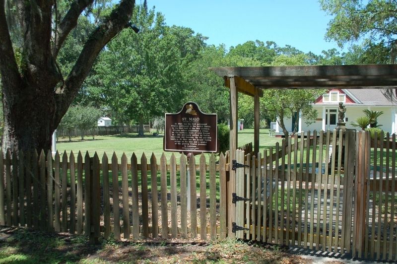
Photographed by Cajun Scrambler, April 24, 2020
2. St. Malo Marker
Credits. This page was last revised on June 23, 2024. It was originally submitted on April 26, 2020, by Cajun Scrambler of Assumption, Louisiana. This page has been viewed 3,971 times since then and 644 times this year. Photos: 1, 2. submitted on April 26, 2020, by Cajun Scrambler of Assumption, Louisiana.
