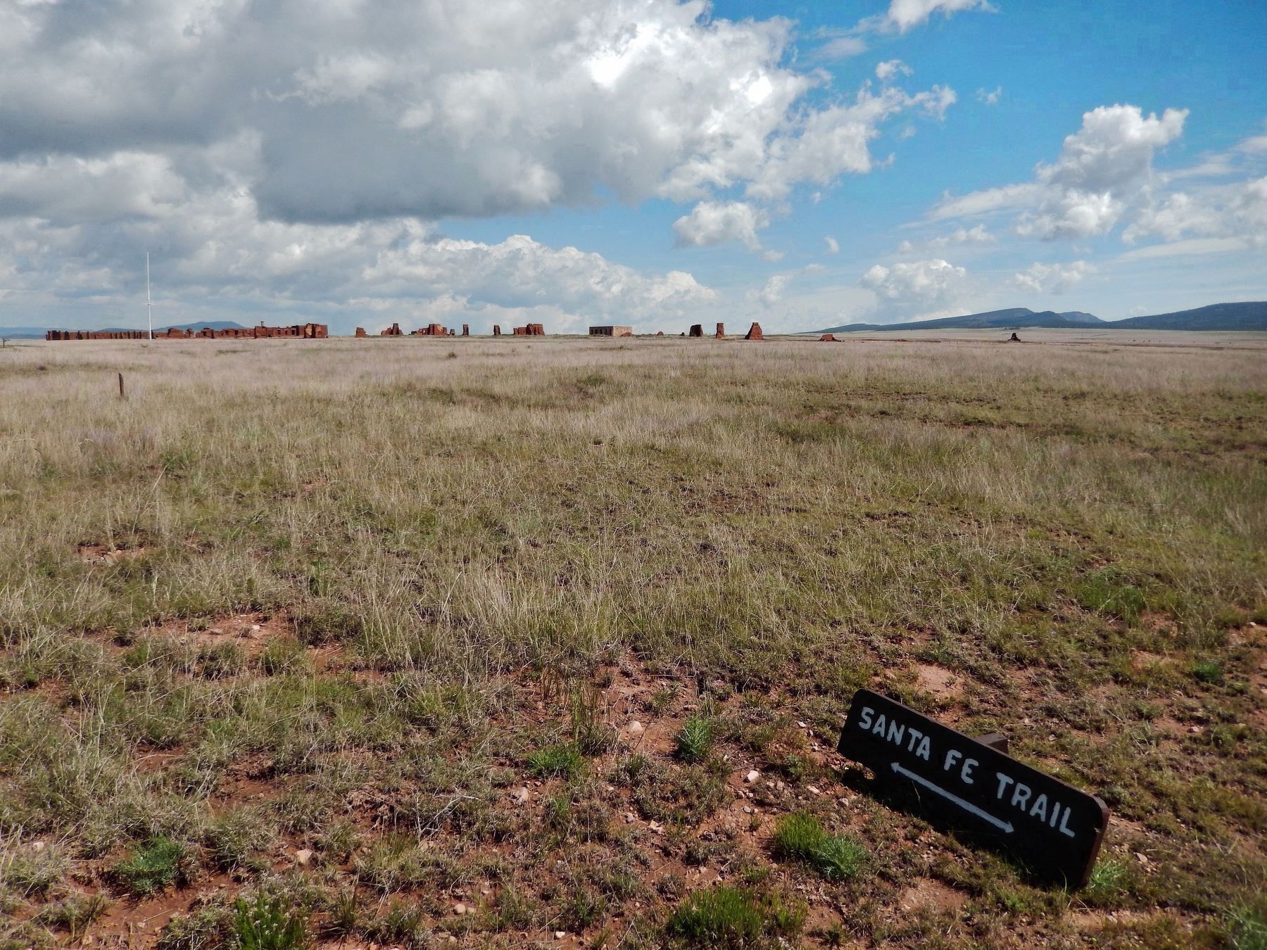
Near Watrous in Mora County, New Mexico — The American Mountains (Southwest)
The First Fort Union
— Fort Union National Monument —
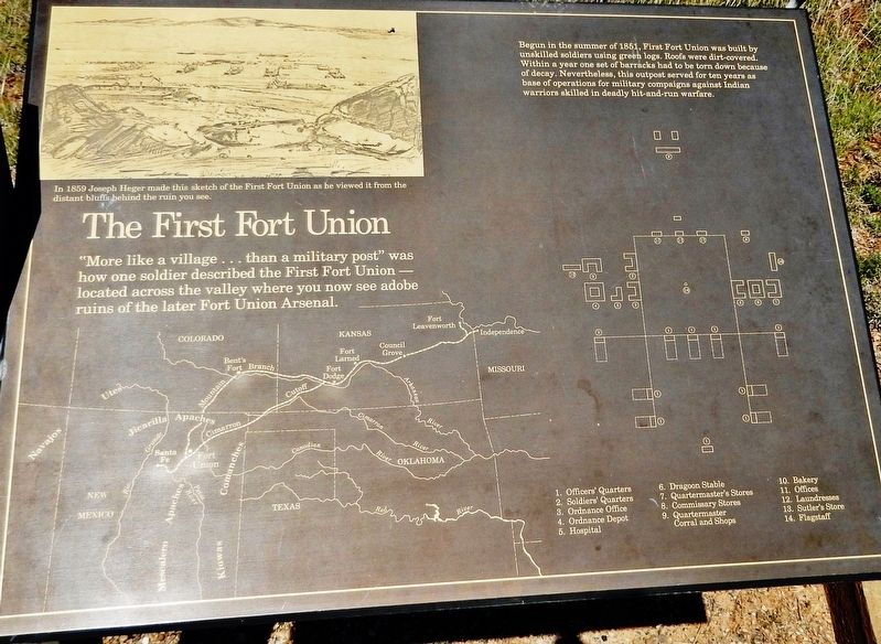
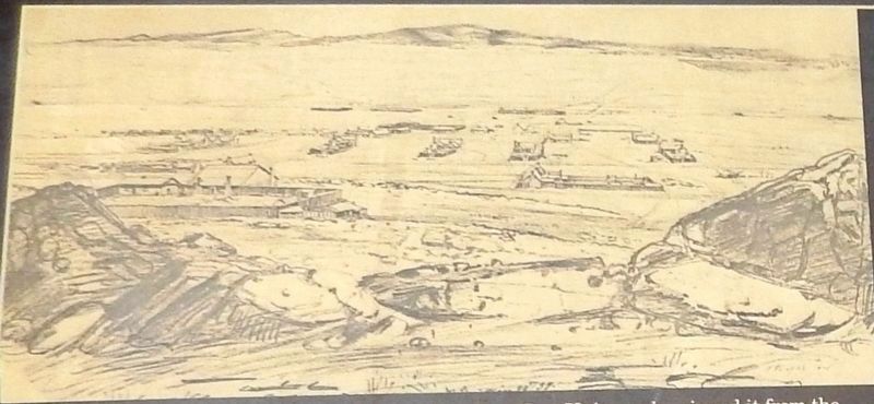
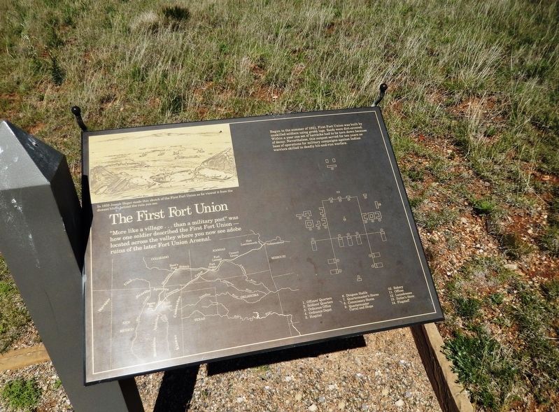
Begun in the summer of 1851, First Fort Union was built by unskilled soldiers using green logs. Roofs were dirt-covered. Within a year one set of barracks had to be torn down because of decay. Nevertheless, this outpost served for ten years as base of operations for military campaigns against Indian warriors skilled in deadly hit-and-run warfare.
Topics. This historical marker is listed in these topic lists: Forts and Castles • Wars, US Indian. A significant historical year for this entry is 1851.
Location. 35° 54.289′ N, 105° 0.77′ W. Marker is near Watrous, New Mexico, in Mora County. Marker can be reached from New Mexico Route 161, 7˝ miles north of CanAm Highway (Interstate 25). Marker is located along the park trail at Fort Union National Monument. Touch for map. Marker is at or near this postal address: 3115 New Mexico Route 161, Watrous NM 87753, United States of America. Touch for directions.
Other nearby markers. At least 8 other markers are within walking distance of this marker. The Six Mule Army Wagon (within shouting distance of this marker); The First Ten Years: 1851-1861 (about 400 feet away, measured in a direct line); Ready to Repel the Confederates (about 400 feet away); Fort Union: 1866 (about 400 feet away); The Third Fort Union (about 400 feet away); Rank Has its Privileges (about 500 feet away); Fort Union and the Santa Fe Trail (about 600 feet away); Trail Sites to the West (about 600 feet away). Touch for a list and map of all markers in Watrous.
Related markers. Click here for a list of markers that are related to this marker. Fort Union National Monument
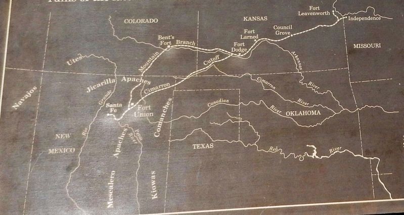
Also see . . . The First Fort Union. By 1851 nearly 1,300 soldiers served in the New Mexico Territory. They were scattered throughout eleven small outposts, with the headquarters at Fort Marcy in Santa Fe. Unhappy with the performance of troops in New Mexico, Secretary of War C.M. Conrad, commanded Lt. Col. Edwin V. Sumner, 1st. Dragoons, to take control of the territory and "revise the whole system of defense." Sumner's first action was to relocate the department headquarters and the main supply depot from Santa Fe, "that sink of vice and extravagance," to a location on the eastern frontier. The chosen site was strategically situated near the junction of the Mountain and Cimarron Branches of
the Santa Fe Trail. (Submitted on April 28, 2020, by Cosmos Mariner of Cape Canaveral, Florida.)
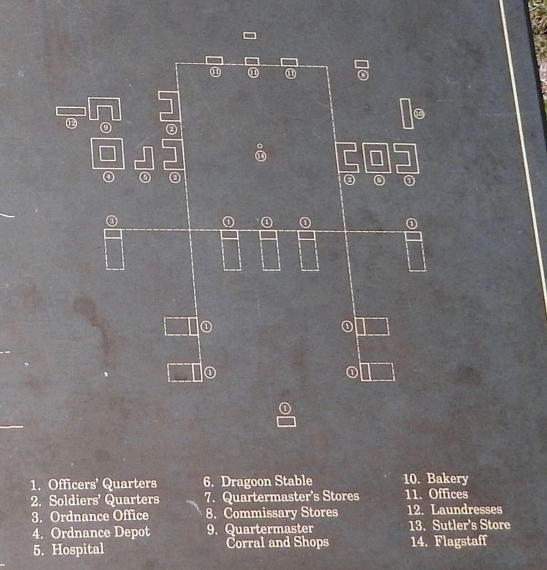
4. Marker detail: First Fort Union Layout
1. Officers Quarters • 2. Soldiers' Quarters • 3. Ordnance Office • 4. Ordnance Depot • 5. Hospital • 6. Dragoon Stable • 7. Quartermaster's Stores • 8. Commissary Stores • 9. Quartermaster Corral and Shops • 10. Bakery • 11. Offices • 12. Laundresses • 13. Sutler's Store • 14. Flagstaff
Credits. This page was last revised on September 29, 2020. It was originally submitted on April 27, 2020, by Cosmos Mariner of Cape Canaveral, Florida. This page has been viewed 166 times since then and 9 times this year. Photos: 1, 2, 3, 4, 5, 6. submitted on April 28, 2020, by Cosmos Mariner of Cape Canaveral, Florida.
