Two Bridges in Manhattan in New York County, New York — The American Northeast (Mid-Atlantic)
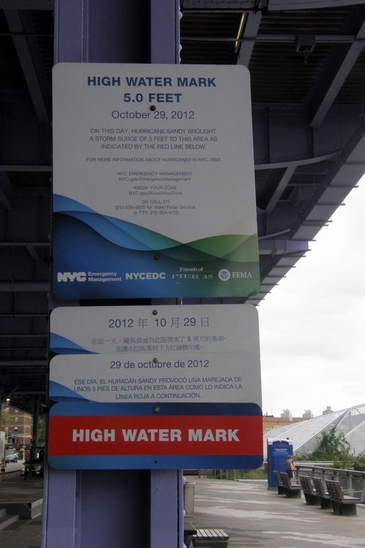
High Water Mark
5.0 Feet
— October 29, 2012 —
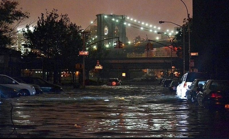
On this day, Hurricane Sandy brought a storm surge of 5 feet to this area as indicated by the red line below.
For more information about hurricanes in NYC, visit: NYC Emergency Management NYC/gov/EmergencyManagement
Know Your Zone
NYC.gov/Know Your Zone
OR CALL 311
(212-639-9675 for Video Relay service
or TTY: 212-504-4155
Erected by NYC Emergency Management/Friends of Pier 35/FEMA.
Topics. This historical marker is listed in this topic list: Disasters.
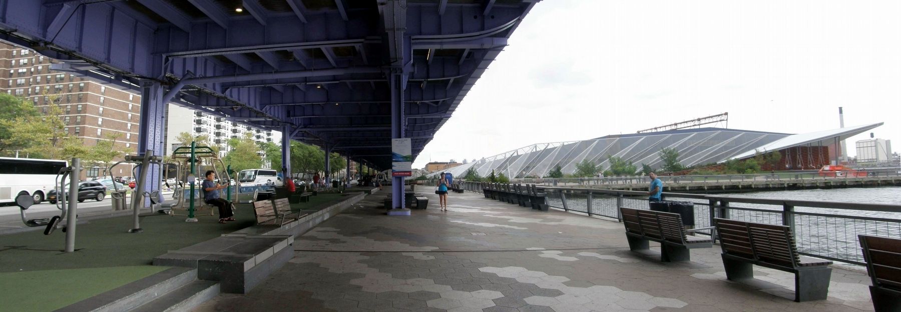
Location. 40° 42.602′ N, 73° 59.372′ W. Marker is in Manhattan, New York, in New York County. It is in Two Bridges. Marker is on South Street near Rutgers Slip, on the right when traveling north. Touch for map. Marker is at or near this postal address: East River Esplanade, New York NY 10002, United States of America. Touch for directions.
Other nearby markers. At least 8 other markers are within walking distance of this marker. Manhattan Bridge (about 700 feet away, measured in a direct line); Coleman Square Playground (approx. 0.2 miles away); Market Street (approx. ¼ mile away); The Church of St. Teresa (approx. ¼ mile away); The First Chinese Presbyterian Church (approx. 0.3 miles away); Catherine Slip Malls (approx. 0.3 miles away); Catherine Street (approx. 0.4 miles away); Billion Oyster Project Community Reef Site: Brooklyn Bridge Park (approx. 0.4 miles away). Touch for a list and map of all markers in Manhattan.
Also see . . . Effects of Hurricane Sandy in New York. Wikipedia entry. (Submitted on April 29, 2020, by Larry Gertner of New York, New York.)
Credits. This page was last revised on January 31, 2023. It was originally submitted on April 29, 2020, by Larry Gertner of New York, New York. This page has been viewed 180 times since then and 14 times this year. Photos: 1, 2, 3. submitted on April 29, 2020, by Larry Gertner of New York, New York. • Michael Herrick was the editor who published this page.


