Governors Island in Manhattan in New York County, New York — The American Northeast (Mid-Atlantic)
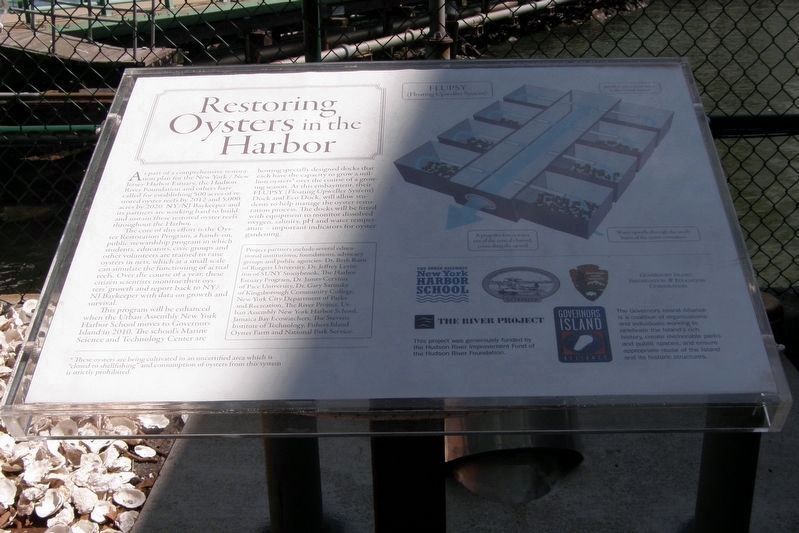
Oysters in the Harbor: A History
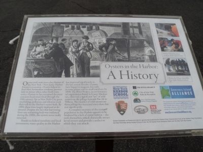
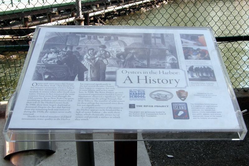
Oyster reefs were once a key feature of the New York / New Jersey Harbor Estuary’s ecosystem. Oysters helped to feed New Amsterdam residents, particularly in winter when other foods were scarce. Oysters in fact remained the most common local street food through the 19th century. Yet as New York City grew, overfishing, pollution and siltation took their toll on the Harbor’s oyster beds. By 1900, these were largely depleted or destroyed. Despite the fact that harvesting from any remaining beds was outlawed during the 1920s, the oysters never really returned.
Thanks to federal mandates and local investments, water quality in the Harbor has improved significantly in the last several decades. Oysters have begun to reappear, but only in some places, and in small numbers. In 1998, The River Project, an environmental organization based in Lower Manhattan, observed a significant “set” of wild oysters on the pilings beneath Pier 26 in Tribeca. The number of wild oysters on these pilings has increased since then, but not significantly.
A complete recovery of the oyster population in the Harbor appears to be hindered by a lack of oyster habitat – the reefs themselves, which chemically attract larval oysters and provide a surface to which they can attach.
Topics. This historical marker is listed in these topic lists: Animals • Waterways & Vessels. A significant historical year for this entry is 1900.
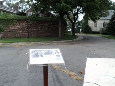
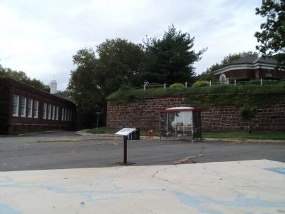
Location. 40° 41.259′ N, 74° 0.887′ W. Marker is in Manhattan, New York, in New York County. It is on Governors Island. Marker is at the intersection of Kimmel Road and Comfort Road, on the right when traveling south on Kimmel Road. Marker is located on the eastern end of Governors Island. Touch for map. Marker is in this post office area: New York NY 10004, United States of America. Touch for directions.
Other nearby markers. At least 8 other markers are within walking distance of this marker. Middens and Reefs (a few steps from this marker); The Buttermilk Channel and Brooklyn Waterfront (within shouting distance of this marker); The South Battery (within shouting distance of this marker); a different marker also named The South Battery (within shouting distance of this marker); St. Cornelius Chapel (within shouting distance of this marker); Tower Carillon Chimes (within shouting distance of this marker); Maj. General Hanson E. Ely Retirement (within shouting distance of this marker); John Peter Zenger (within shouting distance of this marker). Touch for a list and map of all markers in Manhattan.
More about this marker. The marker was one of four originally located on the north end of the island between Buildings 12 and 301 near to the Brooklyn Battery Ventilator. They were moved when the area was taken over for construction storage.
Regarding Oysters in the Harbor: A History. A picture at the top of the marker depicts vendors selling oysters on the street of New York in the 19th century. Three photographs provided by the Urban Assembly New York Harbor School appear at the right of the marker showing Harbor School students conducting oyster experiments.
Also see . . . Governors Island National Monument. National Park Service website. (Submitted on September 16, 2011, by Bill Coughlin of Woodland Park, New Jersey.)
Credits. This page was last revised on January 31, 2023. It was originally submitted on September 16, 2011, by Bill Coughlin of Woodland Park, New Jersey. This page has been viewed 467 times since then and 10 times this year. Last updated on April 30, 2020, by Larry Gertner of New York, New York. Photos: 1, 2, 3, 4. submitted on September 16, 2011, by Bill Coughlin of Woodland Park, New Jersey. 5, 6, 7. submitted on April 30, 2020, by Larry Gertner of New York, New York. • J. Makali Bruton was the editor who published this page.
