Near Brian Head in Iron County, Utah — The American Mountains (Southwest)
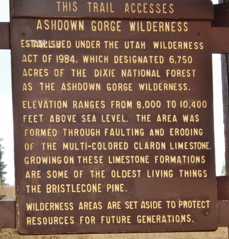
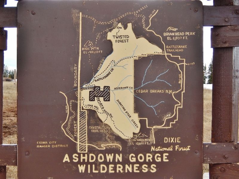
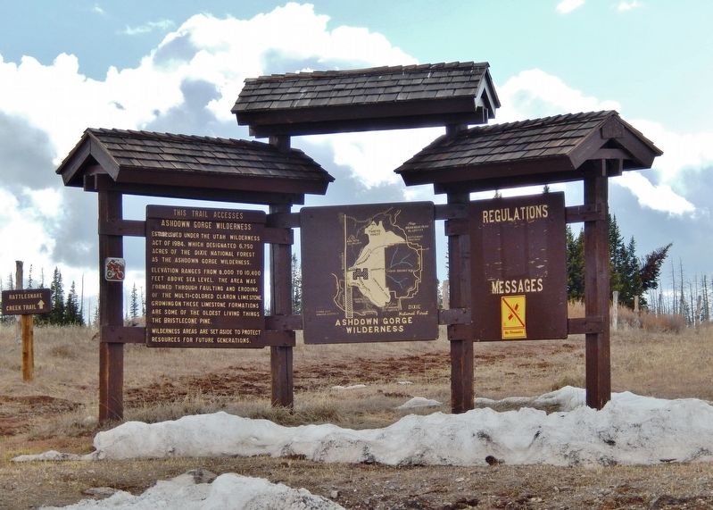
Ashdown Gorge Wilderness
Rattlesnake Creek Trail
— Dixie National Forest —
Wilderness areas are set aside to protect resources for future generations.
Erected by U.S. Forest Service, Dixie National Forest.
Topics. This historical marker is listed in this topic list: Parks & Recreational Areas. A significant historical year for this entry is 1984.
Location. 37° 39.756′ N, 112° 50.284′ W. Marker is near Brian Head, Utah, in Iron County. Marker is on Utah Route 143, 0.9 miles north of Utah Route 148, on the left when traveling north. Marker is located at the Rattlesnake Creek trailhead and parking lot. Touch for map. Marker is in this post office area: Brian Head UT 84719, United States of America. Touch for directions.
Other nearby markers. At least 8 other markers are within 12 miles of this marker, measured as the crow flies. Listen! Can You Hear the Echoes? (approx. 0.4 miles away); A Lasting Legacy (approx. 3 miles away); Cinder Cone - Lava Flows (approx. 7.4 miles away); Sylvanus Cyrus Hulet (approx. 11 miles away); The Spanish Trail (approx. 12 miles away); Paulina Eliza Phelps Lyman (approx. 12 miles away); Parley P. Pratt (approx. 12 miles away); Southern Expedition, 1849-1850 (approx. 12 miles away). Touch for a list and map of all markers in Brian Head.
Also see . . .
1. Utah Wilderness Act of 1984. Utah Wilderness Act of 1984 was, as a bill, a proposal (now, a piece of legislation) introduced on 1983-11-18 in the House of Commons and Senate respectively of the 98 United States Congress by Edwin Jacob Garn. Utah Wilderness Act of 1984 became law in the United States on 1984-09-28. (Submitted on April 30, 2020, by Cosmos Mariner of Cape Canaveral, Florida.)
2. Ashdown Gorge Wilderness (Wikipedia). The wilderness is within the Dixie National Forest adjacent to Cedar Breaks National Monument and characterized by extremely steep-walled canyons cut through the west rim of the Markagunt Plateau. Like the more famous Cedar Breaks National Monument, Ashdown Gorge is known for its multicolored rock formations and plateau-top stands of 1,000-year-old bristlecone pines. The Gorge is named after the family of George Ashdown who set up a sawmill there in 1898. (Submitted on April 30, 2020, by Cosmos Mariner of Cape Canaveral, Florida.)
Credits. This page was last revised on September 14, 2020. It was originally submitted on April 30, 2020, by Cosmos Mariner of Cape Canaveral, Florida. This page has been viewed 141 times since then and 9 times this year. Photos: 1, 2, 3. submitted on April 30, 2020, by Cosmos Mariner of Cape Canaveral, Florida.


