Near Alta Sierra in Nevada County, California — The American West (Pacific Coastal)
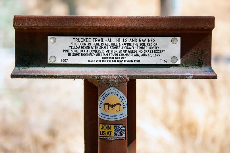
Truckee Trail - All Hills and Ravines
Erected 2007 by Trails West Inc. (Marker Number T-62.)
Topics and series. This historical marker is listed in these topic lists: Roads & Vehicles • Settlements & Settlers. In addition, it is included in the California Trail, the Trails West Inc., and the Truckee Trail series lists. A significant historical date for this entry is August 16, 1849.
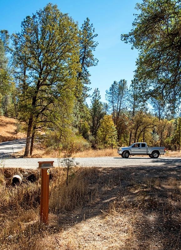
Location. 39° 6.9′ N, 121° 0.047′ W. Marker is near Alta Sierra, California, in Nevada County. Marker is at the intersection of Taylor Crossing Road and Dog Bar Road, on the left when traveling east on Taylor Crossing Road. Touch for map. Marker is in this post office area: Grass Valley CA 95945, United States of America. Touch for directions.
Other nearby markers. At least 8 other markers are within 3 miles of this marker, measured as the crow flies. Truckee Trail - Among the Foothills (approx. 0.8 miles away); Old Bear River Bridge (approx. 2˝ miles away); Colfax Methodist Church (approx. 2.6 miles away); Colfax Record (approx. 2.7 miles away); Jacob Keck, Sr. (approx. 2.7 miles away); a different marker also named Jacob Keck, Sr. (approx. 2.7 miles away); John Butler, Druggist (approx. 2.7 miles away); The Railhead Saloon (approx. 2.7 miles away).
Credits. This page was last revised on April 30, 2020. It was originally submitted on April 30, 2020, by Alvis Hendley of San Francisco, California. This page has been viewed 213 times since then and 19 times this year. Photos: 1, 2. submitted on April 30, 2020, by Alvis Hendley of San Francisco, California. • Syd Whittle was the editor who published this page.

