Near Summertown in Shasta County, California — The American West (Pacific Coastal)
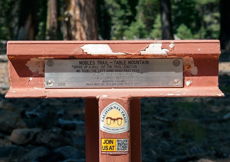
Nobles Trail - Table Mountain
Erected 2006 by Trails West Inc. (Marker Number N-47.)
Topics and series. This historical marker is listed in these topic lists: Roads & Vehicles • Settlements & Settlers. In addition, it is included in the California Trail, the Nobles Trail, and the Trails West Inc. series lists. A significant historical date for this entry is September 6, 1859.
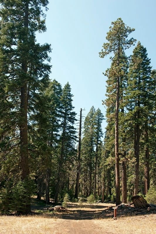
Location. 40° 35.237′ N, 121° 32.098′ W. Marker is near Summertown, California, in Shasta County. Marker is on Forest Service Road 32N13F, on the right when traveling south. State Routes 44 and 89 intersect in Summertown. Drive 4.1 miles northeast on Route 44 to Forest Service Road 32N13. Turn right on FSR 32N13. Drive 0.6 miles to FSR 32N13F. Turn right and drive 0.2 miles to the marker. Touch for map. Marker is in this post office area: Old Station CA 96071, United States of America. Touch for directions.
Other nearby markers. At least 8 other markers are within 4 miles of this marker, measured as the crow flies. Nobles Trail - Lost Camp Station (approx. 0.9 miles away); Nobles' Emigrant Trail (approx. 2 miles away); Mt. Lassen/The Noble Pass/The Park Highway (approx. 2 miles away); Nobles Trail – Third Nobles Pass (approx. 2.8 miles away); People of the Land (approx. 3.6 miles away); Historic Crossroads Gateway (approx. 3.7 miles away); Stephen Tyng Mather (approx. 3.8 miles away); Loomis Legacy (approx. 3.8 miles away).
Credits. This page was last revised on May 1, 2020. It was originally submitted on May 1, 2020, by Alvis Hendley of San Francisco, California. This page has been viewed 116 times since then and 9 times this year. Photos: 1, 2. submitted on May 1, 2020, by Alvis Hendley of San Francisco, California. • Syd Whittle was the editor who published this page.

