Ventura in Ventura County, California — The American West (Pacific Coastal)
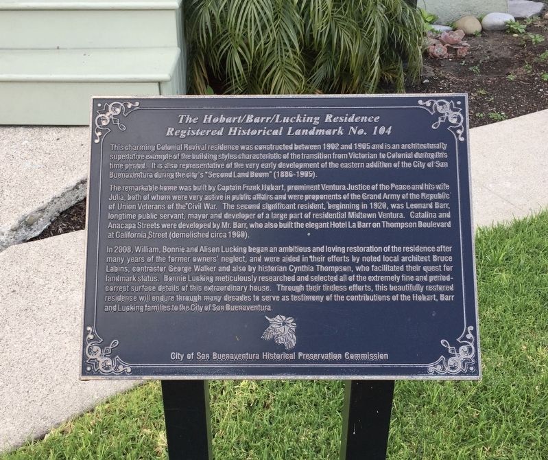
The Hobart/Barr/Lucking Residence
Registered Historical Landmark No. 104
Photographed by Andrew Ruppenstein, March 4, 2019
1. The Hobart/Barr/Lucking Residence Marker
The remarkable home was built by Captain Frank Hobart, prominent Ventura Justice of the Peace and his wife Julia, both of whom were very active in public affairs and were proponents of the Grand Army of the Republic of Union Veterans of the Civil War. The second significant resident, beginning in 1920, was Leonard Barr, longtime public servant, mayor and developer of a large part of residential Midtown Ventura. Catalina and Anacapa Streets were developed by Mr. Barr, who also built the elegant Hotel La Barr on Thompson Boulevard at California Street (demolished circa 1960).
In 2008, William, Bonnie and Alison Lucking began an ambitious and loving restoration of the residence after many years of the former owners' neglect, and
this page online
Erected by City of San Buenaventura Historical Preservation Commission. (Marker Number 104.)
Topics. This historical marker is listed in these topic lists: Architecture • Government & Politics. A significant historical year for this entry is 1902.
Location. 34° 16.671′ N, 119° 17.3′ W. Marker is in Ventura, California, in Ventura County. It is at the intersection of South Ash Street and East Thompson Boulevard, on the left when traveling south on South Ash Street. Touch for map. Marker is at or near this postal address: 230 South Ash Street, Ventura CA 93001, United States of America. Touch for directions.

Regionally,
Photographed by Andrew Ruppenstein, March 4, 2019
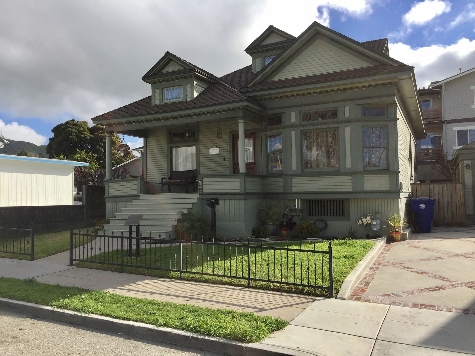
2. The Hobart/Barr/Lucking Residence and Marker
Other nearby markers. At least 8 other markers are within walking distance of this marker: The Hobart/Barr/Lucking Initial Residence c. 1898 (a few steps from this marker); The A.D. Briggs Residence (within shouting distance of this marker); Sifford House (about 300 feet away, measured in a direct line); 682 East Thompson Boulevard (about 600 feet away); Site of the Mayfair Theater, 1941-2000 (about 700 feet away); Ventura Veterans Memorial (about 800 feet away); 632 E. Thompson Boulevard (approx. 0.2 miles away); Southern Methodist Episcopal Church (approx. 0.2 miles away). Touch for a list and map of all markers in Ventura.
Credits. This page was last revised on May 2, 2020. It was originally submitted on March 25, 2019, by Andrew Ruppenstein of Lamorinda, California. This page has been viewed 670 times since then and 26 times this year. Last updated on May 2, 2020, by Craig Baker of Sylmar, California. Photos: 1, 2. submitted on March 25, 2019, by Andrew Ruppenstein of Lamorinda, California. • Syd Whittle was the editor who published this page.
