Lower Township in Cape May County, New Jersey — The American Northeast (Mid-Atlantic)
What Is It?
The Bunker
Photographed by Don Morfe, February 20, 1999
1. What Is It? Marker
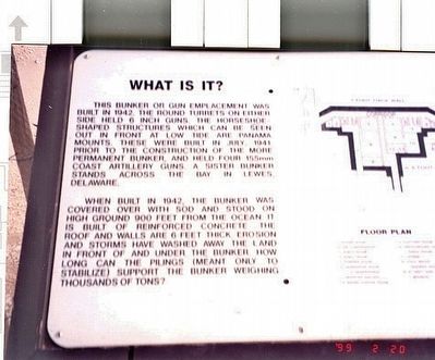
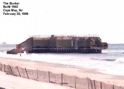
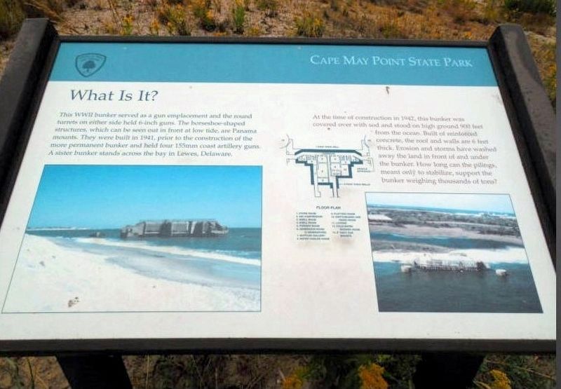
This bunker or gun emplacement was built in 1942. The round turrets on either side held 6 inch guns. The horseshoe shaped structures which can be seen out in front of low tide are Panama mounts. These were built in July 1941 prior to the construction of the more permanent bunker and held four 155mm coast artillery guns. A sister bunker stands across the bay in Lewes, Delaware.
When built in 1942, the bunker was covered over with sod and stood on high ground 900 feet from the ocean. It is built of reinforced concrete. The roof and walls are 6 feet thick. Erosion and storms have washed away the land in front of and under the bunker. How long can the pilings (meant only to stabilize) support the bunker weighing thousands of tons?
Topics. This historical marker is listed in this topic list: War, World II.
Location. Marker has been permanently removed. It was located near 38° 55.889′ N, 74° 57.339′ W. Marker was in Lower Township, New Jersey, in Cape May County. It was on Lighthouse Road. The marker is located in Cape May Point State Park near the parking lot. Touch for map.
this page online
We have been informed that this marker is no longer there and will not be replaced. This page is an archival view of what was.
Regionally, this marker was on New Jersey’s Jersey Shore. It was also in the American Northeast, in the Mid-Atlantic, and on the Eastern Seaboard. Globally, it was in the North Atlantic Region, North America, the Western Hemisphere, the Western World, and the Anglosphere. Historically, it found itself in what was once New Netherland and also one of the original Thirteen Colonies.

Other nearby markers. At least 8 other markers are within walking distance of this location: The Bunker Story (here, next to this marker); Bats on the Move (about 700 feet away, measured in a direct line); Ridges, Rivers and Coastlines (about 800 feet away); Shorebirds Galore (approx. 0.2 miles away); What is it? (approx. 0.2 miles away); Flipper and Friends (approx. 0.2 miles away); Longshore Sediment Movement (approx. 0.2 miles away); Swarms of Dragonflies (approx. 0.2 miles away). Touch for a list and map
Photographed by Don Morfe, February 20, 1999
2. The Bunker
More about this marker. The reference to "round turrets" is incorrect. The round structures are the concrete platforms the gun mounts were installed on. The guns themselves were protected by open shields, not turrets.
Also see . . . Battery 223. Interesting entry from fortwiki concerning the bunker and its armament. (Submitted on May 2, 2020, by Larry Gertner of New York, New York.)
Photographed by Larry Gertner, 2002
3. Bunker 223
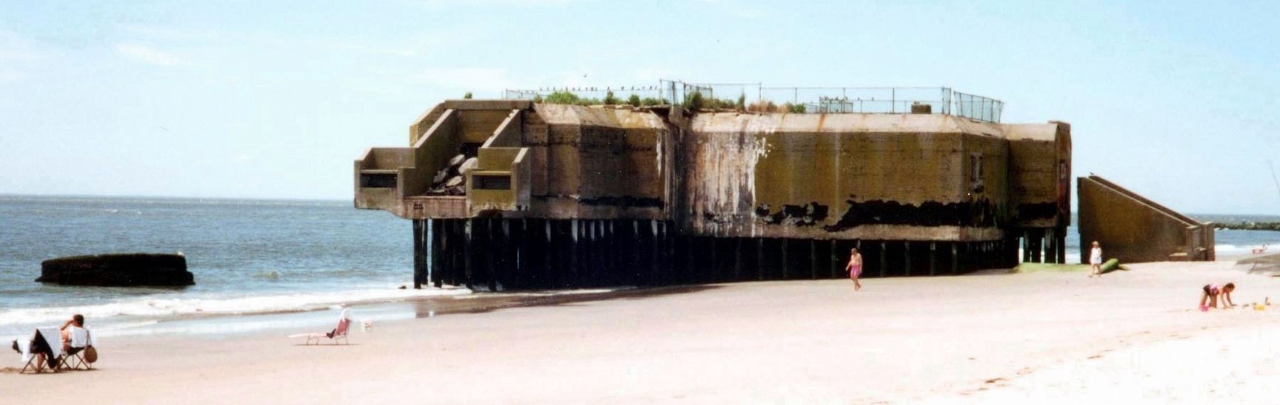
The foundation for one of the 6" open mounts is at the far left. The bunker itself held the magazines and equipment necessary to work the guns.
from the NRHP proposal, unknown
4. Bunker 223
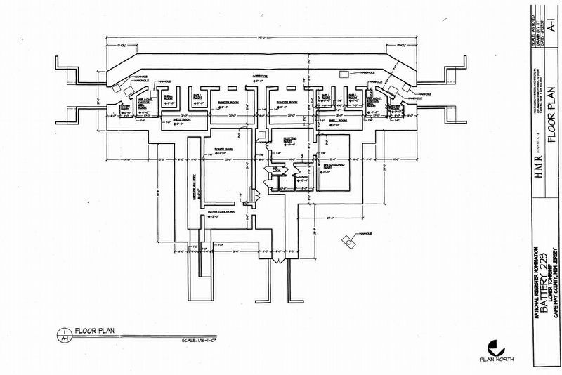
A clear view of the bunker floor plan.
Photographed by Jimmy Emerson, unknown
5. What Is It? current marker
In a posting at "Only in Your State" on February 11, 2018, this is shown as the existing marker.
Credits. This page was last revised on February 7, 2023. It was originally submitted on May 2, 2016, by Don Morfe of Baltimore, Maryland. This page has been viewed 640 times since then and 16 times this year. Last updated on May 2, 2020, by Larry Gertner of New York, New York. Photos: 1, 2. submitted on May 2, 2016, by Don Morfe of Baltimore, Maryland. 3, 4, 5. submitted on May 2, 2020, by Larry Gertner of New York, New York. • J. Makali Bruton was the editor who published this page.
