Near Spotsylvania Courthouse in Spotsylvania County, Virginia — The American South (Mid-Atlantic)
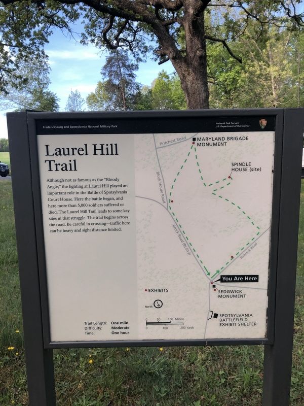
Laurel Hill Trail
Fredericksburg and Spotsylvania National Military Park
— National Park Service, U.S. Department of the Interior —
Erected by National Park Service, U.S. Department of the Interior.
Topics. This historical marker is listed in this topic list: War, US Civil. A significant historical month for this entry is May 1864.
Location. 38° 13.082′ N, 77° 36.872′ W. Marker is near Spotsylvania Courthouse, Virginia, in Spotsylvania County. Marker is at the intersection of Brock Road (County Road 613) and Grant Drive, on the right when traveling north on Brock Road. Touch for map. Marker is at or near this postal address: 8116 Brock Rd, Spotsylvania VA 22553, United States of America. Touch for directions.
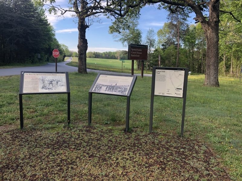
Other nearby markers. At least 8 other markers are within walking distance of this marker. The Death of Sedgwick (here, next to this marker); Sedgwick (here, next to this marker); Laurel Hill (a few steps from this marker); The Race for Spotsylvania Court House (a few steps from this marker); Spotsylvania Campaign (a few steps from this marker); a different marker also named Spotsylvania Campaign (a few steps from this marker); a different marker also named The Death of Sedgwick (a few steps from this marker); A Different Kind of War (about 400 feet away, measured in a direct line). Touch for a list and map of all markers in Spotsylvania Courthouse.
Credits. This page was last revised on May 2, 2020. It was originally submitted on May 2, 2020, by Devry Becker Jones of Washington, District of Columbia. This page has been viewed 175 times since then and 13 times this year. Photos: 1, 2. submitted on May 2, 2020, by Devry Becker Jones of Washington, District of Columbia.

