Hendersonville in Sumner County, Tennessee — The American South (East South Central)
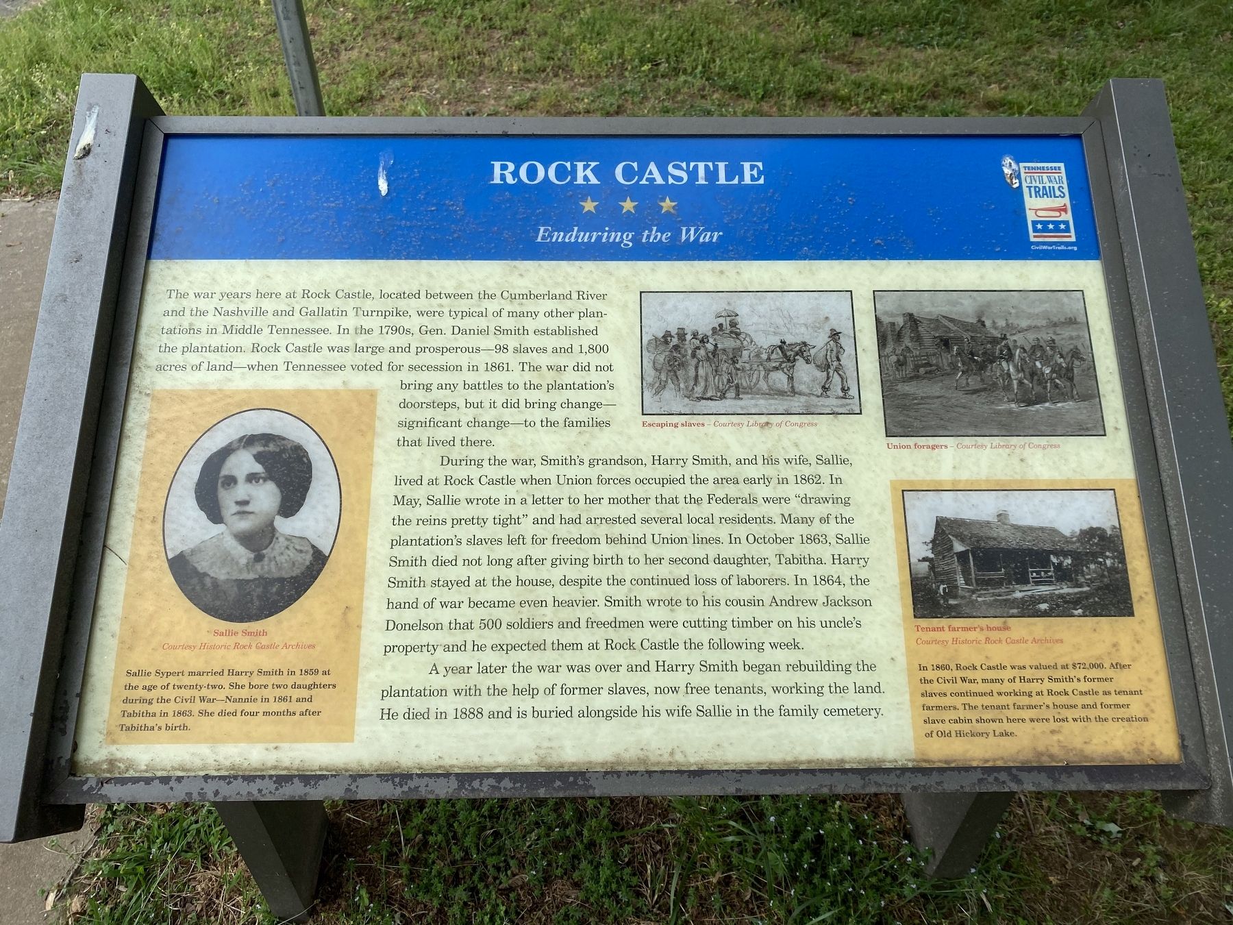
Rock Castle
Enduring the War
The war years here at Rock Castle, located between the Cumberland River and the Nashville and Gallatin Turnpike, were typical of many other plantations in Middle Tennessee. In the 1790s, Gen. Daniel Smith established the plantation. Rock Castle was large and prosperous--98 slaves and 1,800 acres of land--when Tennessee voted for secession in 1861. The war did not bring any battles to the plantation's doorsteps, but it did bring change--significant change--to the families that lived there.
During the war, Smith's grandson, Harry Smith, and his wife, Sallie, lived at Castle Rock when Union forces occupied the area early in 1862. In May, Sallie wrote in a letter to her mother that the Federals were "drawing the reins pretty tight" and had arrested several local residents. Many of the plantation's slaves left for freedom behind Union lines. In October 1863, Sallie Smith died not long after giving birth to her second daughter, Tabitha. Harry Smith stayed at the house, despite the continued loss of laborers. In 1864, the hand of war became even heavier. Smith wrote to his cousin Andrew Jackson Donelson that 500 soldiers and freedman were cutting timber on his uncle's property and he expected them at Rock Castle the following week.
A year later the war was over and Harry Smith began rebuilding the plantation with the help of former slaves, now free tenants, working the land. He died in 1888 and is buried alongside his wife Sallie in the family cemetery.
Captions:
Escaping slaves - Courtesy Library of Congress
Union foragers - Courtesy Library of Congress
Tenant farmer's house - Courtesy Historic Rock Castle Archives
In 1860, Rock Castle was valued at $72,000. After the Civil War, many of Harry Smith's former slaves continued working at Rock Castle as tenant farmers. The tenant farmer's house and former slave cabin show here were lost with the creation of Old Hickory lake.
Sallie Smith - Courtesy Historic Rock Castle Archives
Sallie Sypert married Harry Smith in 1859 at the age of twenty-two. She bore two daughters during the Civil War--Nannie in 1861 and Tabitha in 1863. She died four months after Tabitha's birth.
Erected by Tennessee Civil War Trails.
Topics and series. This historical marker is listed in this topic list: War, US Civil. In addition, it is included in the Tennessee Civil War Trails series list. A significant historical year for this entry is 1861.
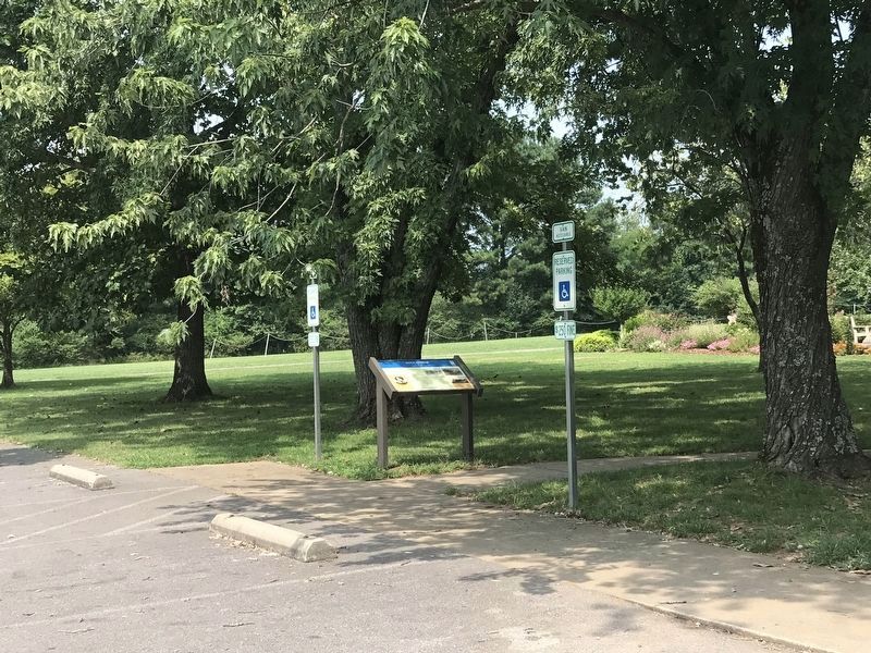
Location. 36° 16.808′ N, 86° 35.739′ W. Marker is in Hendersonville, Tennessee, in Sumner County. Marker is on Rock Castle Lane, on the left. The marker is located to the left of the Visitors Center at Rock Castle. Touch for map. Marker is at or near this postal address: 139 Rock Castle Lane, Hendersonville TN 37075, United States of America. Touch for directions.
Other nearby markers. At least 8 other markers are within 3 miles of this marker, measured as the crow flies. Eventide (approx. 0.9 miles away); Hazel Path Mansion (approx. 1.9 miles away); Taylor Swift (approx. 1.9 miles away); a different marker also named Rock Castle (approx. 2 miles away); William Henderson (approx. 2.1 miles away); Confederate Memorial at First Presbyterian Church (approx. 2.1 miles away); Lefty Frizzell (approx. 2.1 miles away); Strategic Location (approx. 2.2 miles away). Touch for a list and map of all markers in Hendersonville.
Credits. This page was last revised on August 2, 2021. It was originally submitted on May 3, 2020, by Darren Jefferson Clay of Duluth, Georgia. This page has been viewed 519 times since then and 52 times this year. Photos: 1. submitted on May 14, 2020, by Darren Jefferson Clay of Duluth, Georgia. 2. submitted on August 1, 2021, by Duane and Tracy Marsteller of Murfreesboro, Tennessee. • J. Makali Bruton was the editor who published this page.

