Pensacola Beach in Escambia County, Florida — The American South (South Atlantic)
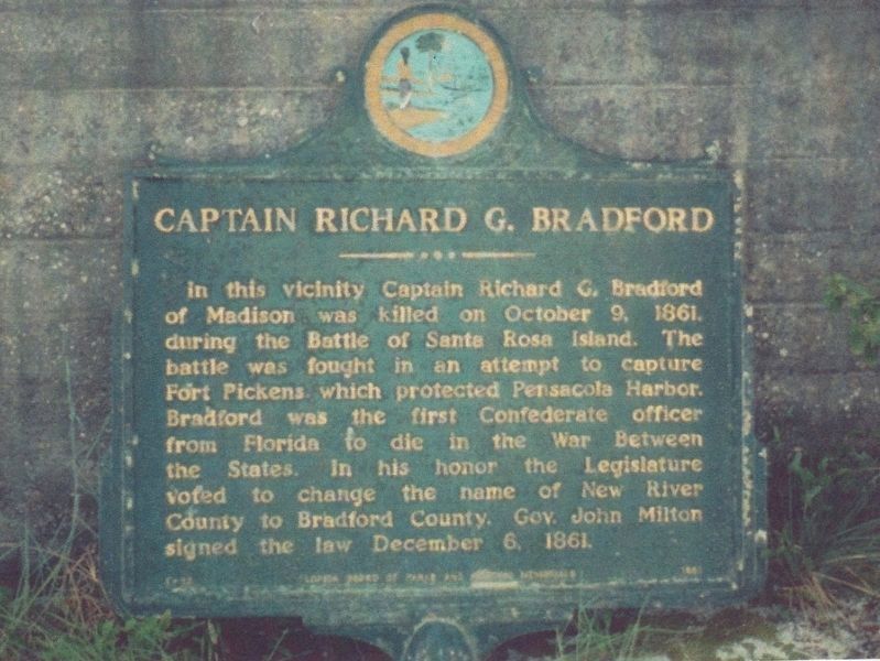
Captain Richard G. Bradford
Inscription.
In this vicinity Captain Richard G. Bradford of Madison was killed on October 9, 1861, during the Battle of Santa Rosa Island. The battle was fought in an attempt to capture Fort Pickens which protected Pensacola Harbor. Bradford was first Confederate officer from Florida to die in the War Between the States. In his honor the Legislature voted to change the name of New River County to Bradford County. Gov. John Milton signed the law December 6, 1861.
Erected 1961 by Florida Board of Parks and Historic Memorials. (Marker Number F-12.)
Topics. This historical marker is listed in these topic lists: Forts and Castles • War, US Civil. A significant historical date for this entry is October 9, 1861.
Location. Marker has been reported missing. It was located near 30° 19.677′ N, 87° 17.398′ W. Marker was in Pensacola Beach, Florida, in Escambia County. Marker could be reached from Fort Pickens Road, 9.9 miles west of Pensacola Beach Road (State Road 399). Marker was in Gulf Islands National Seashore at Ft. Pickens. At the time of its installation, the area was Ft. Pickens State Park. Marker was in storage but has been discarded. Touch for map. Marker was at or near this postal address: 1400 Fort Pickens Road, Gulf Breeze FL 32561, United States of America. Touch for directions.
Other nearby markers. At least 8 other markers are within walking distance of this location. Step Back in History (within shouting distance of this marker); Deadly Explosion (within shouting distance of this marker); Swatting Mosquitoes (within shouting distance of this marker); Dueling with Confederates (within shouting distance of this marker); Beefing Up Defenses (within shouting distance of this marker); Converting a Cannon (about 300 feet away, measured in a direct line); Fort within a Fort (about 300 feet away); Massive Smoothbore (about 500 feet away). Touch for a list and map of all markers in Pensacola Beach.
Related markers. Click here for a list of markers that are related to this marker.
Credits. This page was last revised on May 5, 2020. It was originally submitted on February 5, 2019, by Tim Fillmon of Webster, Florida. This page has been viewed 181 times since then and 8 times this year. Last updated on May 4, 2020, by Tim Fillmon of Webster, Florida. Photo 1. submitted on February 5, 2019, by Tim Fillmon of Webster, Florida. • Bernard Fisher was the editor who published this page.
