Hendersonville in Sumner County, Tennessee — The American South (East South Central)
Historic Monthaven
Controlling the Louisville & Nashville Railroad
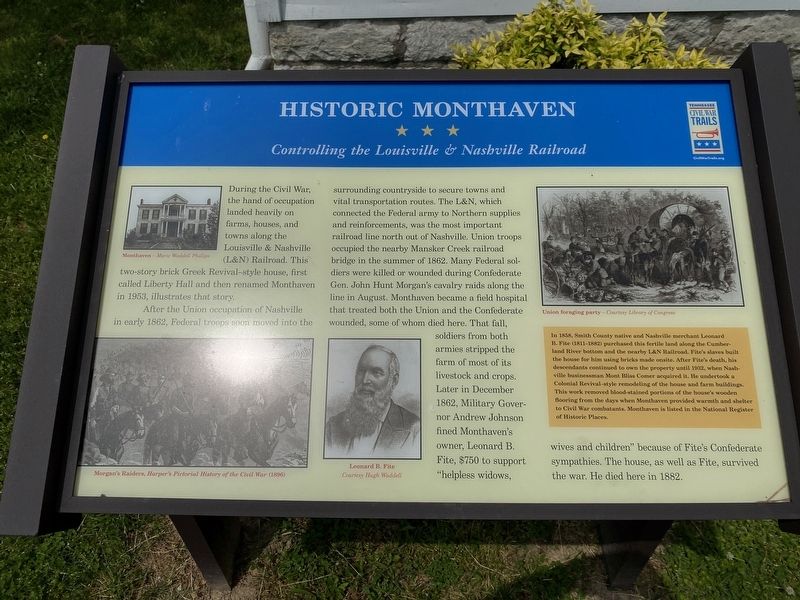
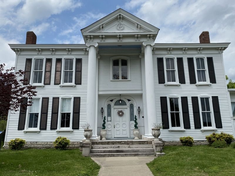
After the Union occupation of Nashville in early 1862, Federal troops soon moved into the surrounding countryside to secure towns and vital transportation routes. The L&N, which connected the Federal army to Northern supplies and reinforcements, was the most important railroad line north out of Nashville. Union troops occupied the nearby Mansker Creek railroad bridge in the summer of 1862. Many Federal soldiers were killed or wounded during Confederate Gen. John Hunt Morgan's cavalry raids along the line in August. Monthaven became a field hospital that treated both the Union and the Confederate wounded, some of whom died here. That fall, soldiers from both armies stripped the farm of most of its livestock and crops. Later in December 1862, Military Governor Andrew Johnson fined Monthaven's owner, Leonard B. Fite, $750 to support "helpless widows, wives and children" because of Fite's Confederate sympathies. The house, as well as Fite, survived the war. He died here in 1882.
(sidebar)
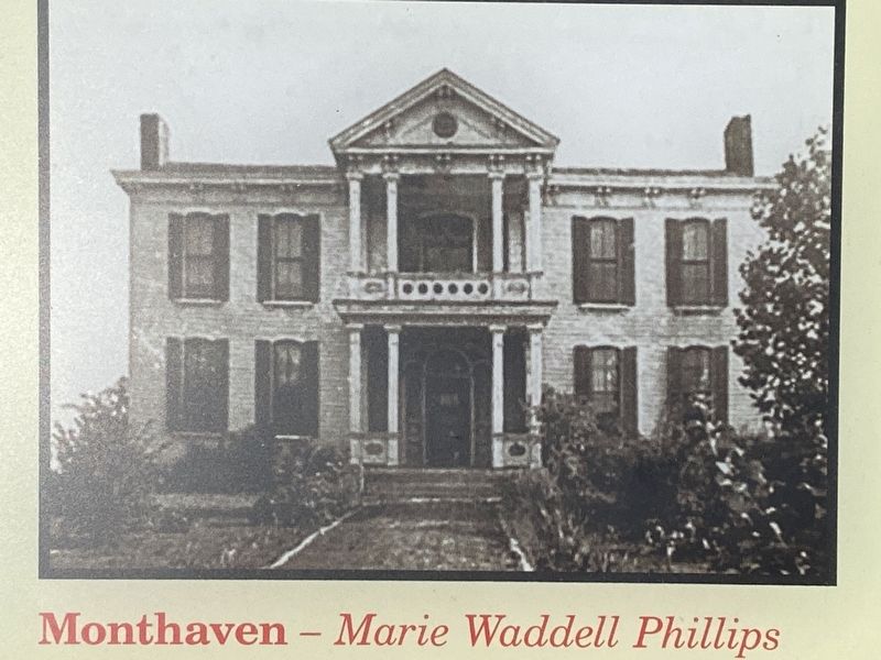
In 1858, Smith County native and Nashville merchant Leonard B. Fite (181l-1882) purchased this fertile land along the Cumberland River bottom and the nearby L&N Railroad. Fite's slaves built the house for him using bricks made onsite. After Fite's death, his descendants continued to own the property until 1932, when Nashville businessman Mont Bliss Comer acquired it. He undertook a Colonial Revival-style remodeling of the house and farm buildings. This work removed blood-stained portions of the house's wooden flooring from the days when Monthaven provided warmth and shelter to Civil War combatants. Monthaven is listed in the National Register of Historic Places.
(captions)
Monthaven- Marie Waddell Phillips
Morgan's Raiders, Harper's Pictorial History of the Civil War (1896)
Leonard B. Fite Courtesy Hugh Waddell
Union foraging party - Courtesy Library of Congress
Erected by Tennessee Civil War Trails.
Topics and series. This historical marker is listed in this topic list: War, US Civil. In addition, it is included in the Former U.S. Presidents: #17 Andrew Johnson, and the Tennessee Civil War Trails series lists.
Location. 36° 18.632′ N, 86° 39.723′ W. Marker is in Hendersonville, Tennessee, in Sumner County. Marker can be reached from Antebellum Circle, 0.1 miles west of Monthaven Boulevard, on the right when traveling north. Marker is located in front of the Monthaven Arts & Cultural Center. Touch for map. Marker is at or near this postal address: 1017 Antebellum Cir, Hendersonville TN 37075, United States of America. Touch for directions.
Other nearby markers. At least 8 other markers are within 3 miles of this marker, measured as the crow flies. Davidson County / Sumner County (approx. 0.6 miles away); Free Hill Road (approx. 0.9 miles away); Mansker Creek (approx. 1.7 miles away); Bowen Plantation House (approx. 1.7 miles away); First Long Hunters (approx. 1.8 miles away); Mansker's Station (approx. 1.8 miles away); Mrs. John Donelson (approx. 2.3 miles away); Old Hickory Powder Plant (approx. 2.3 miles away). Touch for a list and map of all markers in Hendersonville.
Credits. This page was last revised on May 5, 2020. It was originally submitted on May 4, 2020, by Darren Jefferson Clay of Duluth, Georgia. This page has been viewed 632 times since then and 74 times this year. Photos: 1, 2, 3. submitted on May 4, 2020, by Darren Jefferson Clay of Duluth, Georgia. • Bernard Fisher was the editor who published this page.


