Pleasant Grove in Utah County, Utah — The American Mountains (Southwest)
Old Pleasant Grove Fort
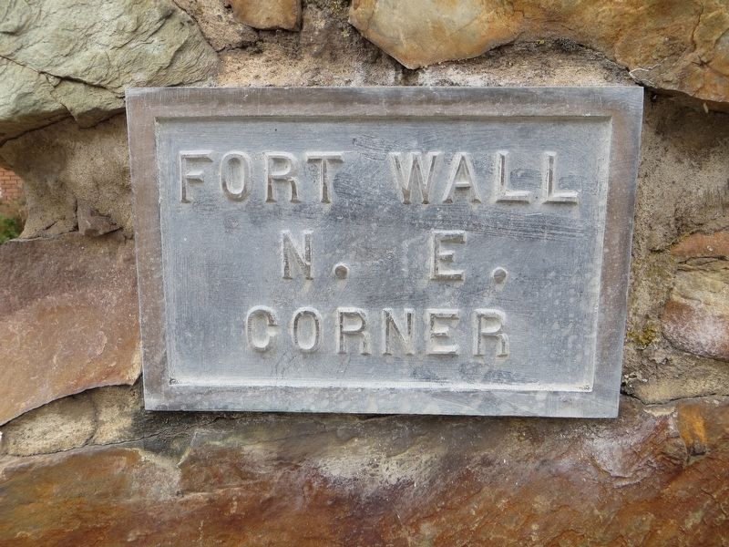
Photographed by Bill Kirchner, October 2, 2018
1. Old Pleasant Grove Fort Marker
N. E.
Corner
Topics. This historical marker is listed in this topic list: Forts and Castles. A significant historical year for this entry is 1853.
Location. 40° 21.899′ N, 111° 44.152′ W. Marker is in Pleasant Grove, Utah, in Utah County. It is at the intersection of North 300 East and East 100 North, on the left when traveling north on North 300 East. Touch for map. Marker is in this post office area: Pleasant Grove UT 84062, United States of America. Touch for directions.

Regionally, this marker is in the Wasatch Front and in Greater Provo. It is also in the American Mountain West and on the Colorado Plateau. Globally, it is in North America, the Rocky Mountains, the Western Hemisphere, the Western World, and the Anglosphere. Historically, it finds itself in what was once New Spain and also Mexico’s Alta California.
Other nearby markers. At least 8 other markers are within walking distance of this marker: Lewis W. and Lydia Brown Lunch House (approx. 0.2 miles away); Jeppa and Anna Nelson Granary (approx. 0.2 miles away); Pioneer Relic Hall (approx. 0.2 miles away); Herron Cabin (approx. 0.2
this page online
Related markers. Click here for a list of markers that are related to this marker.
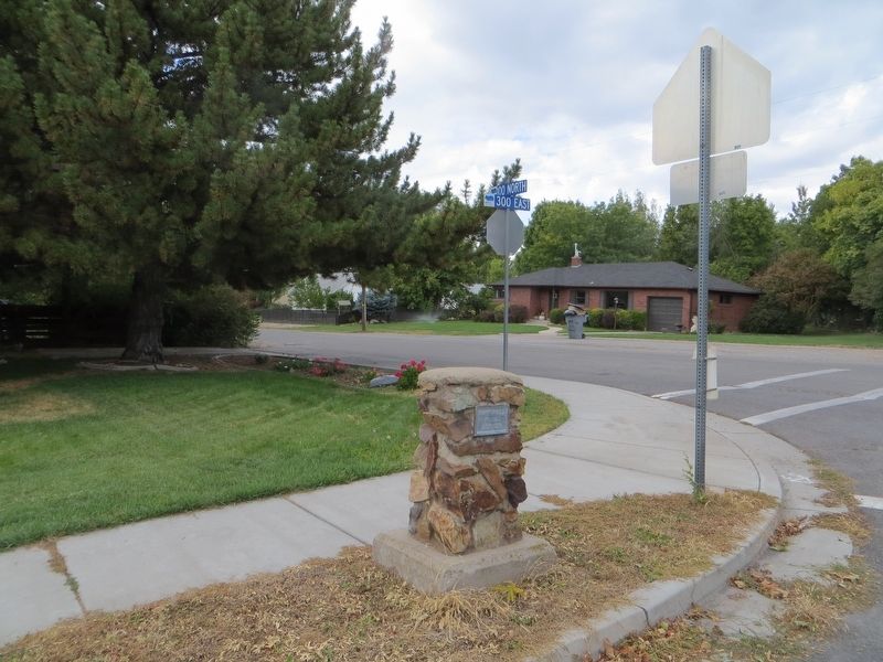
Photographed by Bill Kirchner, October 2, 2018
2. Old Pleasant Grove Fort Marker
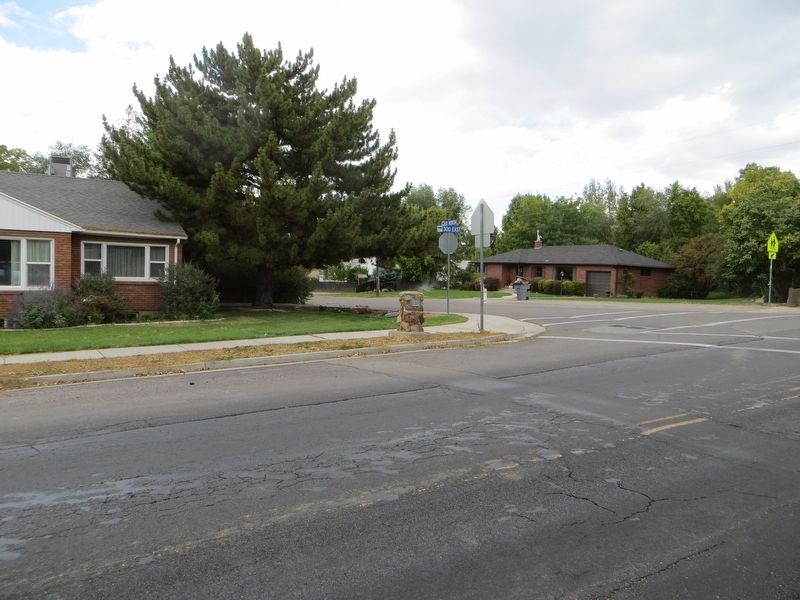
Photographed by Bill Kirchner, October 2, 2018
3. Old Pleasant Grove Fort Marker
Credits. This page was last revised on May 8, 2020. It was originally submitted on May 8, 2020, by Bill Kirchner of Tucson, Arizona. This page has been viewed 285 times since then and 38 times this year. Photos: 1, 2, 3. submitted on May 8, 2020, by Bill Kirchner of Tucson, Arizona.
