Bluff in San Juan County, Utah — The American Mountains (Southwest)
Replica of the Bluff Meetinghouse
Photographed by Cosmos Mariner, June 14, 2016
1. Replica of the Bluff Meetinghouse Marker
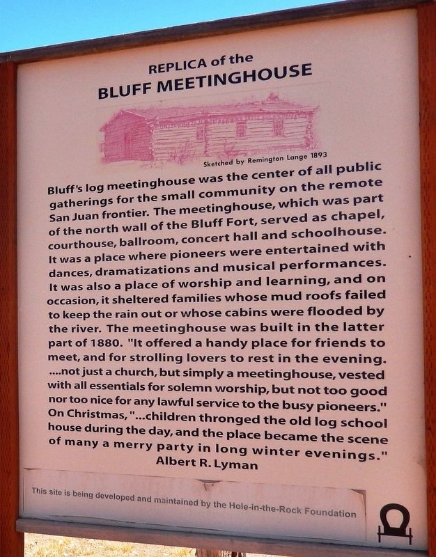
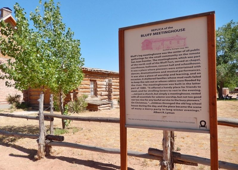
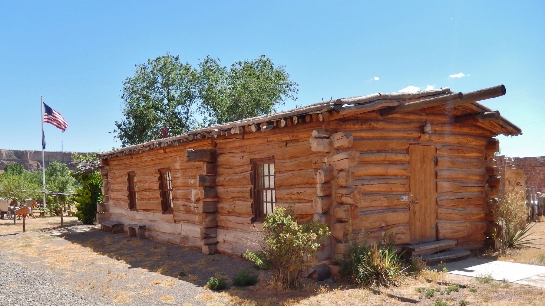
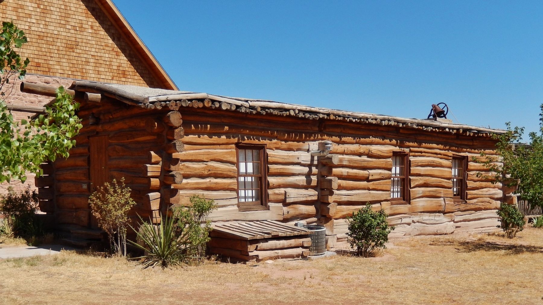
Bluff's log meetinghouse was the center of all public gatherings for the small community on the remote San Juan frontier. The meetinghouse, which was part of the north wall of the Bluff Fort, served as chapel, courthouse, ballroom, concert hall and schoolhouse. It was a place where pioneers were entertained with dances, dramatizations and musical performances. It was also a place of worship and learning, and on occasion, it sheltered families whose mud roofs failed to keep the rain out or whose cabins were flooded by the river. The meetinghouse was built in the latter part of 1880. "It offered a handy place for friends to meet, and for strolling lovers to rest in the evening. …not just a church, but simply a meetinghouse, vested with all essentials for solemn worship, but not too good nor too nice for any lawful service to the busy pioneers." On Christmas, "…children thronged the old log school house during the day, and the place became the scene of many a merry party in long winter evenings."
—Albert R. Lyman
This site is being developed and maintained by the Hole-in-the-Rock Foundation
Topics.
this page online
Location. 37° 17.054′ N, 109° 33.182′ W. Marker is in Bluff, Utah, in San Juan County. It is on Black Locust Avenue just east of 5th East, on the right when traveling east. Marker is mounted beside the fence, overlooking the subject Bluff Meetinghouse Replica. Touch for map. Marker is at or near this postal address: 550 East Black Locust Avenue, Bluff UT 84512, United States of America. Touch for directions.

Regionally, this marker is in the Navajo Nation and in Canyon Country. It is also in the American Mountain West, on the Colorado Plateau, and at the Four Corners. Globally, it is in North America, the Western Hemisphere, the Western World, and the Anglosphere. Historically, it finds itself in what was once New Spain and also Mexico’s Alta California.

Other nearby markers. At least 8 other markers are within walking distance of this marker: Fort Montezuma (a few steps from this marker); Replica of the Log Meetinghouse
Photographed by Cosmos Mariner, June 14, 2016
2. Replica of the Bluff Meetinghouse Marker
Also see . . . Bluff Fort Historic Site. Hole in the Rock Foundation website entry (Submitted on December 21, 2025, by Larry Gertner of New York, New York.)
Photographed by Cosmos Mariner, June 14, 2016
3. Bluff Meetinghouse (northeast corner)
Photographed by Cosmos Mariner, June 14, 2016
4. Bluff Meetinghouse (west side)

Photographed by James Hulse, March 28, 2025
5. New marker with new title on south side of building
Credits. This page was last revised on December 21, 2025. It was originally submitted on May 9, 2020, by Cosmos Mariner of Cape Canaveral, Florida. This page has been viewed 269 times since then and 15 times this year. Photos: 1, 2, 3, 4. submitted on May 9, 2020, by Cosmos Mariner of Cape Canaveral, Florida. 5. submitted on April 21, 2025, by James Hulse of Medina, Texas.
