Pleasant Grove in Utah County, Utah — The American Mountains (Southwest)
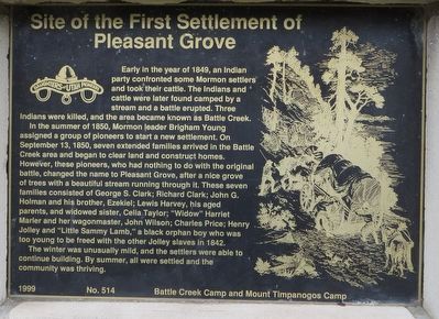
Site of the First Settlement of Pleasant Grove
Inscription.
Early in the year of 1849, an Indian party confronted some Mormon settlers and took their cattle. The Indians and cattle were later found camped by a stream and a battle erupted. Three Indians were killed, and the area became known as Battle Creek.
In the summer of 1850, Mormon leader Brigham Young assigned a group of pioneers to start a new settlement. On September 13, 1850, seven extended families arrived in the Battle Creek area and began to clear land and construct homes. However, these pioneers, who had nothing to do with the original battle, changed the name to Pleasant Grove, after a nice grove of trees with a beautiful stream running through it. These seven families consisted of George S. Clark; Richard Clark; John G. Holman and his brother, Ezekiel; Lewis Harvey, his aged parents, and widowed sister, Celia Taylor; “Widow” Harriet Marler and her wagonmaster, John Wilson; Charles Price; Henry Jolley and “Little Sammy Lamb,” a black orphan boy who was too young to be freed with the other Jolley slaves in 1842.
The winter was unusually mild, and the settlers were able to continue building. By summer, all were settled and the community was thriving.
Erected 1999 by Daughters of Utah Pioneers, Battle Creek Camp and Mount Timpanogos Camp. (Marker Number 514.)
Topics and series. This historical marker is listed in this topic list: Settlements & Settlers. In addition, it is included in the Daughters of Utah Pioneers series list. A significant historical date for this entry is September 13, 1850.
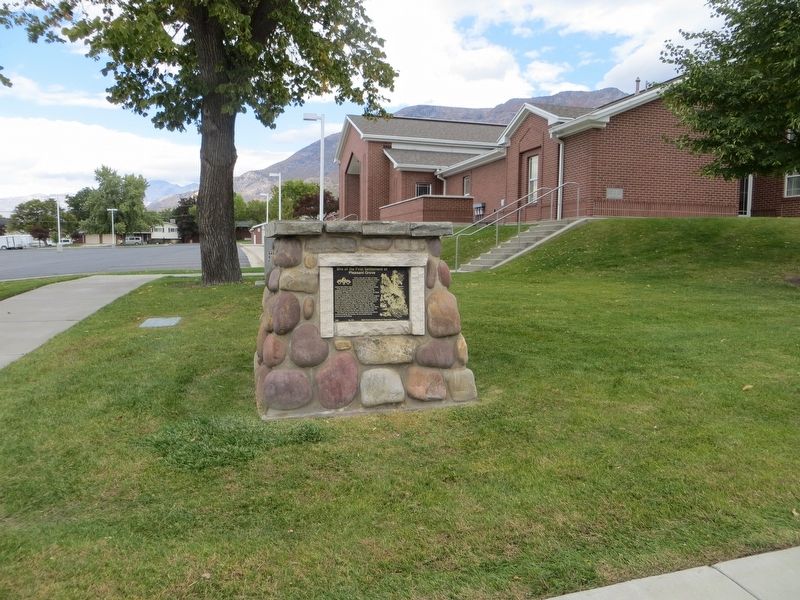
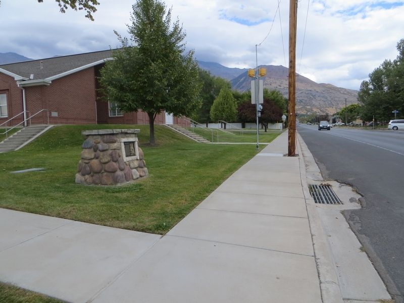
Location. 40° 21.677′ N, 111° 43.956′ W. Marker is in Pleasant Grove, Utah, in Utah County. Marker is on East 200 South, on the right when traveling west. Touch for map. Marker is at or near this postal address: 455 East 200 South, Pleasant Grove UT 84062, United States of America. Touch for directions.
Other nearby markers. At least 8 other markers are within walking distance of this marker. Old Pleasant Grove Fort (approx. 0.2 miles away); a different marker also named Old Pleasant Grove Fort (approx. 0.3 miles away); Winter Corral (approx. 0.3 miles away); Pleasant Grove Town Hall (approx. 0.3 miles away); Civil War Skirmish at Pleasant Grove (approx. 0.3 miles away); Jeppa and Anna Nelson Granary (approx. 0.3 miles away); Pioneer Flour Mill (approx. 0.3 miles away); Pioneer Relic Hall (approx. 0.3 miles away). Touch for a list and map of all markers in Pleasant Grove.
Credits. This page was last revised on May 3, 2023. It was originally submitted on May 9, 2020, by Bill Kirchner of Tucson, Arizona. This page has been viewed 462 times since then and 73 times this year. Photos: 1, 2, 3. submitted on May 9, 2020, by Bill Kirchner of Tucson, Arizona.


