Randolph in Rich County, Utah — The American Mountains (Southwest)
Randolph
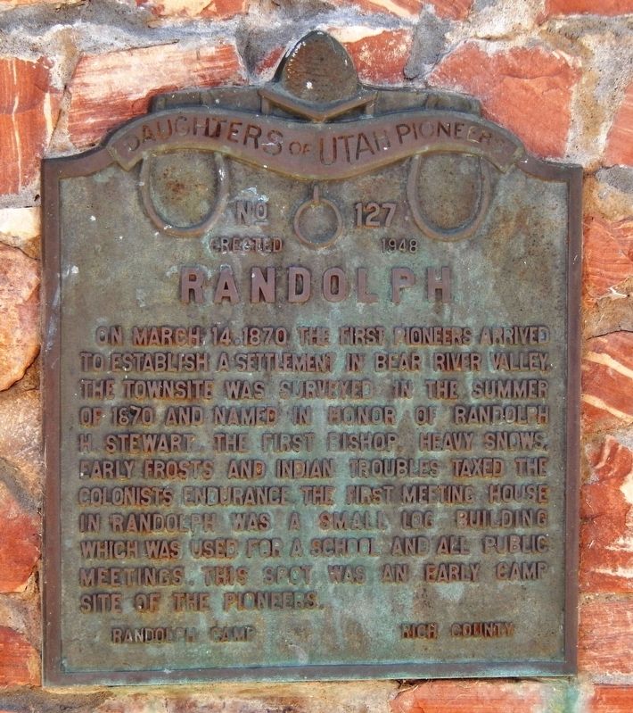
Photographed by Cosmos Mariner, July 21, 2016
1. Randolph Marker
Erected 1948 by Daughters of Utah Pioneers. (Marker Number 127.)
Topics and series. This historical marker is listed in this topic list: Settlements & Settlers. In addition, it is included in the Daughters of Utah Pioneers series list. A significant historical date for this entry is March 14, 1870.
Location. 41° 39.357′ N, 111° 11.102′ W. Marker is in Randolph, Utah, in Rich County. It is on South Main Street (Utah Route 16) 0.4 miles south of Pond Street, on the right when traveling south. Marker is located in a pull-out on the west side of the highway. Touch for map. Marker is in this post office area: Randolph UT 84064, United States of America. Touch for directions.

Regionally,
this page online
Other nearby markers. At least 8 other markers are within 10 miles of this marker, measured as the crow flies: Chandler-Price Platen, Treadle Press (circa 1885) (approx. half a mile away); a different marker also named Randolph (approx. half a mile away); a different marker also named Randolph (approx. half a mile away); Wilford Woodruff (approx. 0.6 miles away); Rich County WWI Memorial (approx. 0.6 miles away); Woodruff (approx. 9½ miles away); a different marker also named Woodruff (approx. 9½ miles away); Our Old Community Bell - Woodruff (approx. 9½ miles away). Touch for a list and map of all markers in Randolph.
Related markers. Click here for a list of markers that are related to this marker. Randolph, Utah
Also see . . . History of Randolph, Utah.
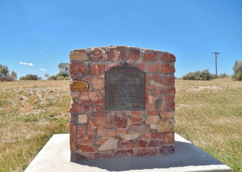
Photographed by Cosmos Mariner, July 21, 2016
2. Randolph Marker
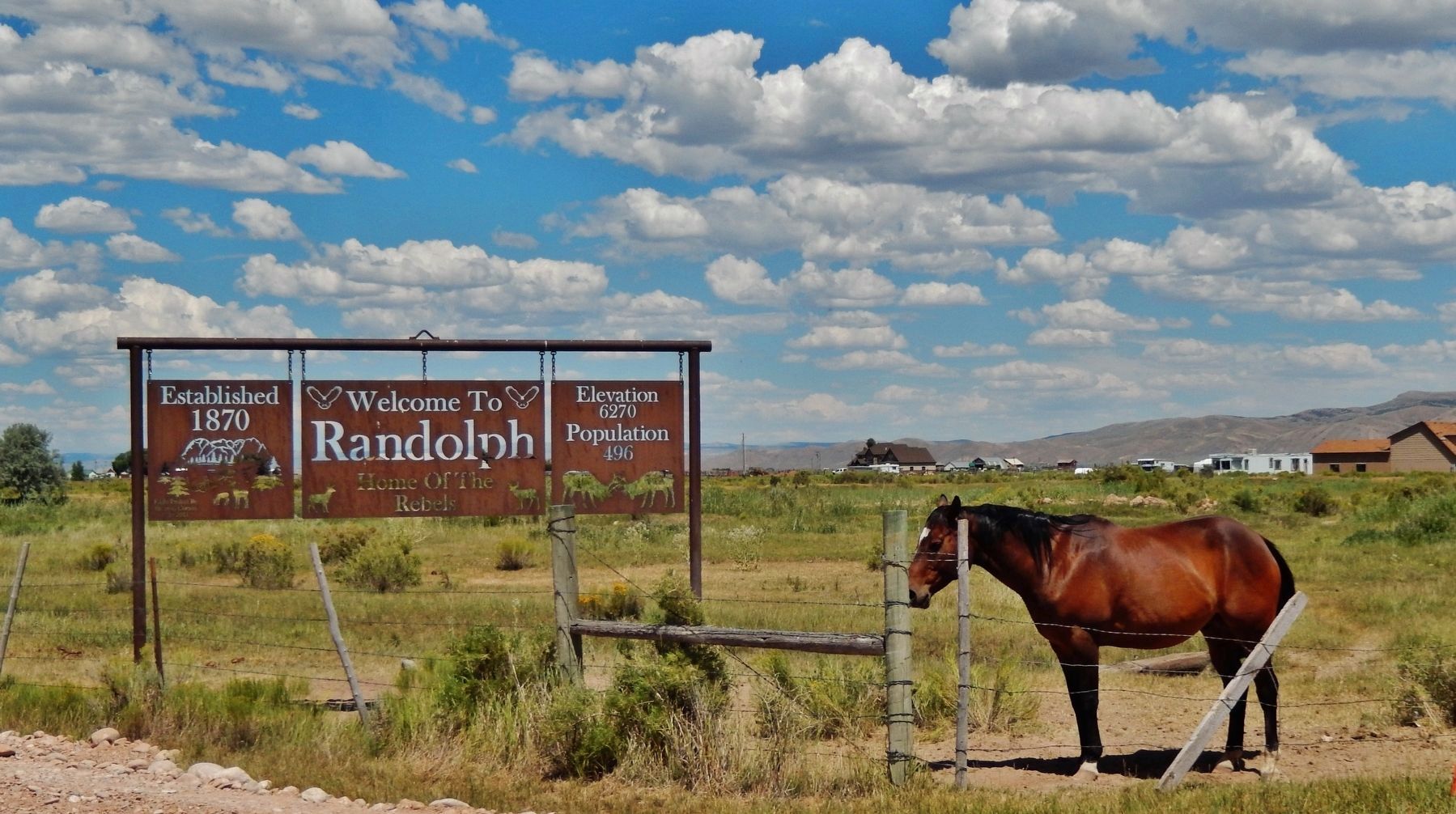
Photographed by Cosmos Mariner, July 21, 2016
3. Welcome to Randolph
Credits. This page was last revised on May 10, 2020. It was originally submitted on May 9, 2020, by Cosmos Mariner of Cape Canaveral, Florida. This page has been viewed 909 times since then and 57 times this year. Photos: 1, 2. submitted on May 9, 2020, by Cosmos Mariner of Cape Canaveral, Florida. 3. submitted on May 10, 2020, by Cosmos Mariner of Cape Canaveral, Florida.
