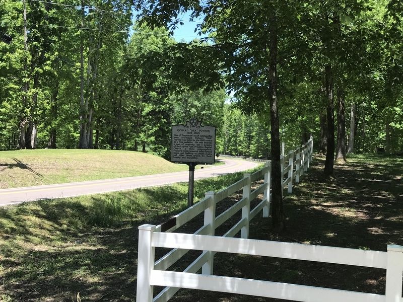
Near Franklin in Williamson County, Tennessee — The American South (East South Central)
Richard "Dick" Poyner
(1802-1862)
Erected by Tennessee Historical Commission. (Marker Number 3D 65.)
Topics and series. This historical marker is listed in these topic lists: African Americans • Churches & Religion • Industry & Commerce. In addition, it is included in the Tennessee Historical Commission series list. A significant historical year for this entry is 1802.
Location. 35° 52.683′ N, 87° 4.753′ W. Marker is near Franklin, Tennessee, in Williamson County. Marker is at the intersection of Pinewood Road (State Highway 46) and Moore Lane, on the left when traveling south on Pinewood Road. Touch for map. Marker is at or near this postal address: 5746 Pinewood Rd, Franklin TN 37064, United States of America. Touch for directions.
Other nearby markers. At least 8 other markers are within 4 miles of this marker, measured as the crow flies. Garrison (approx. 1˝ miles away); Bending Chestnut (approx. 1˝ miles away); U.S.D. 1812 (approx. 2.1 miles away); Tennessee Valley Divide (approx. 3.1 miles away); Flagpole Campground / Pinewood Road (approx. 3.2 miles away); Dr. George B. Hunter Farm / Along Leiper's Fork (approx. 3.4 miles away); Boston (approx. 3.4 miles away); Duck River Ridge Smarden and Mobley's Cut / Duck River Ridge and The Treaties of Hopewell (approx. 3.7 miles away). Touch for a list and map of all markers in Franklin.
Additional commentary.
1. Language from the marker
The language in the marker, while including an offensive term for a multiracial person of European and African heritage, is taken verbatim from the marker.
— Submitted May 10, 2020.
Credits. This page was last revised on May 10, 2020. It was originally submitted on May 10, 2020, by Duane and Tracy Marsteller of Murfreesboro, Tennessee. This page has been viewed 496 times since then and 36 times this year. Photos: 1, 2. submitted on May 10, 2020, by Duane and Tracy Marsteller of Murfreesboro, Tennessee. • Devry Becker Jones was the editor who published this page.

