Barlow in Washington County, Ohio — The American Midwest (Great Lakes)
Mill Branch Covered Bridge
Washington County, Ohio
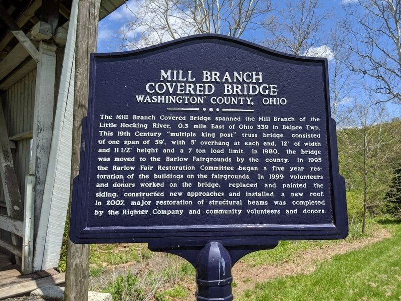
Photographed by Mike Wintermantel
1. Mill Branch Covered Bridge Marker
Topics and series. This historical marker is listed in this topic list: Bridges & Viaducts. In addition, it is included in the Covered Bridges series list. A significant historical year for this entry is 1980.
Location. 39° 23.958′ N, 81° 40.056′ W. Marker is in Barlow, Ohio, in Washington County. It can be reached from the intersection of Ohio Route 550 and Route 339. Touch for map. Marker is in
this page online

Regionally, this marker is in the American Midwest, in the Ohio River Valley, in Appalachia, and specifically in Northern Appalachia. Globally, it is in North America, the Western Hemisphere, the Western World, and the Anglosphere. Historically, it finds itself in what was once the Viceroyalty of New France, the Haudenosaunee (Iroquois) Confederacy, the territory of the Mississippian Culture, and the Northwest Territory.
Other nearby markers. At least 8 other markers are within 9 miles of this marker, measured as the crow flies: God Bless Our United States Veterans (about 400 feet away, measured in a direct line); Ephraim Cutler (approx. 4 miles away); Root Covered Bridge (approx. 6.1 miles away); Gold Star Families Memorial Monument (approx. 7.8 miles away in West Virginia); Farmer's Castle (approx. 8.6 miles away); Belpre (approx. 8.6 miles away); B&O No. C-2222 Caboose (approx. 8.6 miles away in West Virginia); Veterans Memorial (approx. 8.6 miles away in West Virginia).
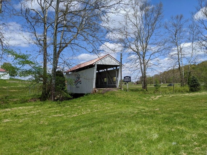
Photographed by Mike Wintermantel
2. Mill Branch Covered Bridge Marker
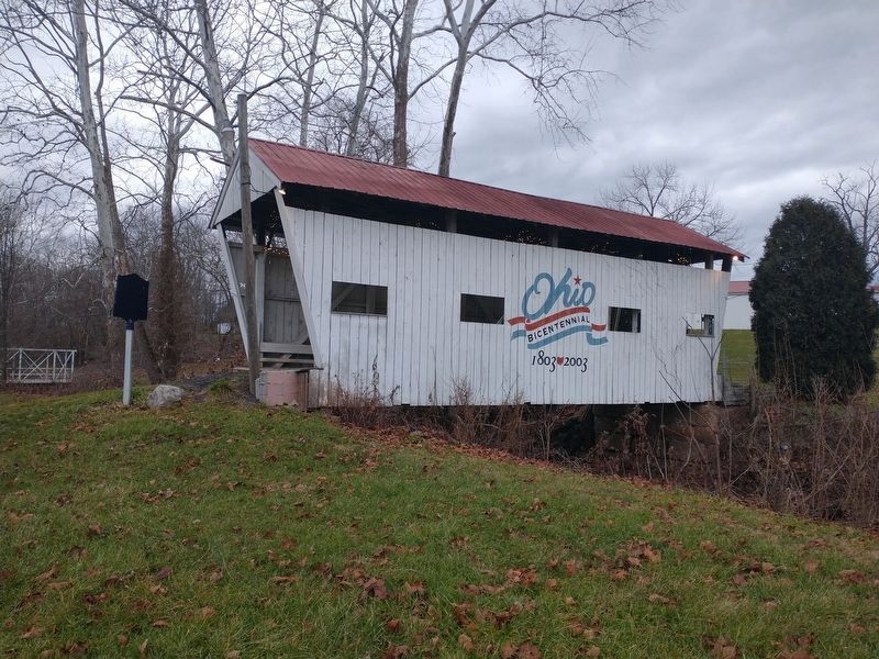
Photographed by Craig Doda, December 28, 2021
3. Mill Branch Covered Bridge Marker

Photographed by Mike Wintermantel
4. Mill Branch Covered Bridge
Credits. This page was last revised on January 9, 2022. It was originally submitted on May 10, 2020, by Mike Wintermantel of Pittsburgh, Pennsylvania. This page has been viewed 653 times since then and 46 times this year. Photos: 1, 2. submitted on May 10, 2020, by Mike Wintermantel of Pittsburgh, Pennsylvania. 3. submitted on January 6, 2022, by Craig Doda of Napoleon, Ohio. 4. submitted on May 10, 2020, by Mike Wintermantel of Pittsburgh, Pennsylvania.
