Near Cisco Grove in Nevada County, California — The American West (Pacific Coastal)
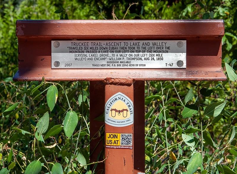
Truckee Trail - Ascent to Lake and Valley
Inscription.
"Traveled six miles down Eubah then took to the left over the mountain passed a lake on our left on top of the mountain [Crystal Lake] drove ... to a valley on our left [Six Mile Valley] and encamp" - William P. Thompson, Aug 28, 1850
Erected 2007 by Trails West Inc. (Marker Number T-47.)
Topics and series. This historical marker is listed in these topic lists: Roads & Vehicles • Settlements & Settlers. In addition, it is included in the California Trail, the Trails West Inc., and the Truckee Trail series lists. A significant historical date for this entry is August 28, 1850.
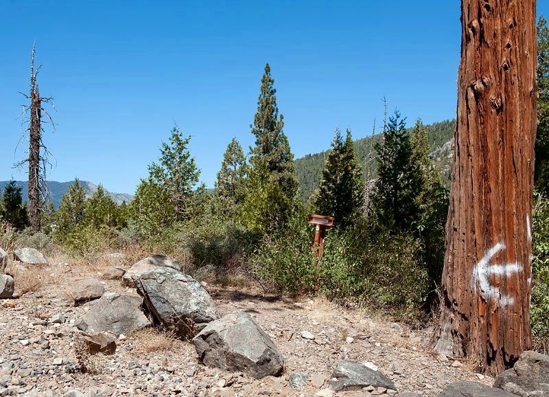
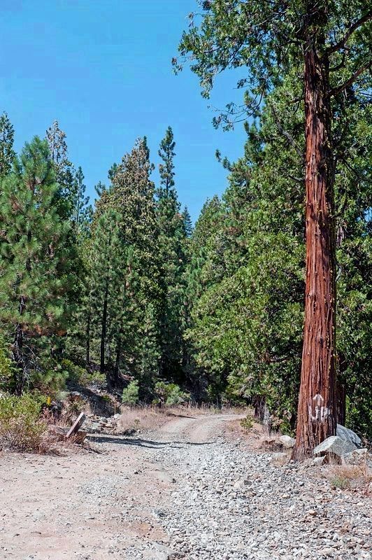
Location. 39° 19.128′ N, 120° 33.886′ W. Marker is near Cisco Grove, California, in Nevada County. Marker is on an unnamed dirt road, on the right. Traveling west on I-80, take the first exit west of Cisco Grove, Exit 164 (Eagle Lakes). Turn left under I-80. Drive 0.3 miles on a road which starts as paved but changes to dirt. The road is a vestige of the Lincoln Highway. Touch for map. Marker is in this post office area: Emigrant Gap CA 95715, United States of America. Touch for directions.
Other nearby markers. At least 8 other markers are within 3 miles of this marker, measured as the crow flies. Red Mountain (approx. 0.4 miles away); Meadow Lake (approx. 0.4 miles away); Susan's Spot (approx. 1.3 miles away); Forest Gift Shop, Cisco Grove (approx. 1.3 miles away); Lincoln Highway (approx. 2.4 miles away); Big Bend (approx. 2.7 miles away); Overland Emigrant Trail (approx. 2.7 miles away); Stephens-Townsend-Murphy Party (approx. 2.7 miles away). Touch for a list and map of all markers in Cisco Grove.
More about this marker.
The marker is located near a vestige of Lincoln Highway which ran from Times Square in New York City to Lincoln Park in San Francisco and was dedicated in 1913.
According to the 1916 edition of the Lincoln Highway Association Official Road Guide, a trip from the Atlantic to the Pacific was "something of a sporting proposition" and might take twenty to thirty days. Motorists were advised to top off their gasoline at every opportunity and to wade through water before driving through to verify the depth. Recommended equipment included chains, a shovel, an axe, jacks, tire casings, inner tubes and sundry tools. Firearms were not necessary, but west of Omaha full camping equipment was recommended.
Credits. This page was last revised on May 11, 2020. It was originally submitted on May 5, 2020, by Alvis Hendley of San Francisco, California. This page has been viewed 223 times since then and 24 times this year. Last updated on May 10, 2020, by Craig Baker of Sylmar, California. Photos: 1, 2, 3. submitted on May 7, 2020, by Alvis Hendley of San Francisco, California. • Syd Whittle was the editor who published this page.


