Claremont in Los Angeles County, California — The American West (Pacific Coastal)
Claremont City Hall
Photographed by Craig Baker, May 4, 2020
1. Claremont City Hall Marker
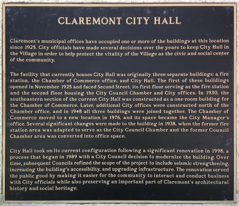
Claremont's municipal offices have occupied one or more of the buildings at this location since 1925. City officials have made several decisions over the years to keep City Hall in the Village in order to help protect the vitality of the Village as the civic and social center of the community.
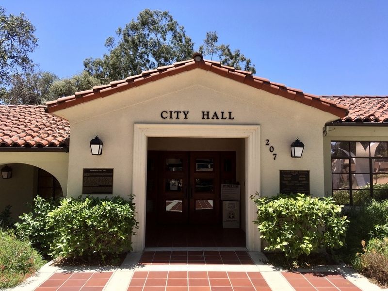
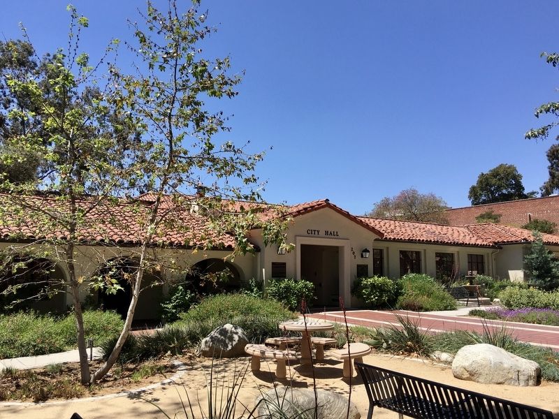
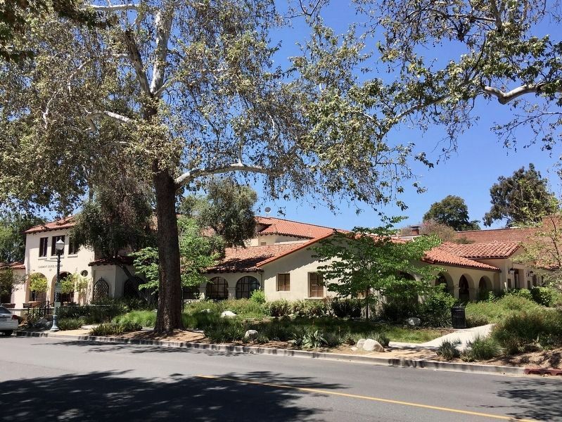
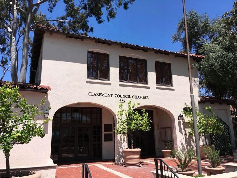
The facility that currently houses City Hall was originally three separate buildings: a fire station, the Chamber of Commerce office, and City Hall. The first of these buildings opened in November 1925 and faced Second Street, its first floor serving as the fire station and the second floor housing the City Council Chamber and City offices. In 1930, the southeastern section of the current City Hall was constructed as a one-room building for the Chamber of Commerce. Later, additional City offices were constructed north of the Chamber office, and in 1948 all three buildings were joined together. The Chamber of Commerce moved to a new location in 1976, and its space became the City Manager's office. Several significant changes were made to the building in 1938, when the former fire station area was adapted to serve as
this page online
City Hall took on its current configuration following a significant renovation in 1998, a process that began in 1989 with a City Council decision to modernize the building. Over time, subsequent Councils refined the scope of the project to include seismic strengthening, increasing the building's accessibility, and upgrading infrastructure. The renovation served the public good by making it easier for the community to interact and conduct business with City officials while also preserving an important part of Claremont's architectural history and social heritage.
Topics. This historical marker is listed in these topic lists: Architecture • Settlements & Settlers. A significant historical month for this entry is November 1925.
Location. 34° 5.753′ N, 117° 43.001′ W. Marker is in Claremont, California, in Los Angeles County. It is at the intersection of Harvard Avenue and 2nd Street, on the right when traveling south on Harvard Avenue. Touch for map. Marker is at or near this postal address: 207 Harvard Ave, Claremont CA 91711, United States
Photographed by Craig Baker, May 4, 2020
2. Claremont City Hall Marker

Regionally, this marker is in Greater Los Angeles and in the Transverse Ranges. It is also on the American Pacific Coast. Globally, it is in North America, on the Ring of Fire, on the Pacific Rim, in the Western Hemisphere, in the Western World, and in the Anglosphere. Historically, it finds itself in what was once New Spain and also Mexico’s Alta California.
Other nearby markers. At least 8 other markers are within walking distance of this marker: Claremont’s First Fire Station (within shouting distance of this marker); Shelton Park (about 300 feet away, measured in a direct line); Peace Pole (about 300 feet away); Judy C. Wright (about 600 feet away); The Claremont Depot (about 600 feet away); Helen Goodwin Renwick (about 600 feet away); Mallows Park (approx. ¼ mile away); College Park (approx. 0.3 miles away). Touch for a list and map of all markers in Claremont.
Photographed by Craig Baker, May 4, 2020
3. Claremont City Hall
Photographed by Craig Baker, May 4, 2020
4. Claremont City Hall
Viewed from the southeast.
Photographed by Craig Baker, May 4, 2020
5. Claremont City Hall
Original 1925 fire station, now the City Council Chamber, facing Second Street.
Credits. This page was last revised on January 30, 2023. It was originally submitted on May 11, 2020, by Craig Baker of Sylmar, California. This page has been viewed 1,017 times since then and 81 times this year. Photos: 1, 2, 3, 4, 5. submitted on May 11, 2020, by Craig Baker of Sylmar, California. • Syd Whittle was the editor who published this page.
