Rancho Cucamonga in San Bernardino County, California — The American West (Pacific Coastal)
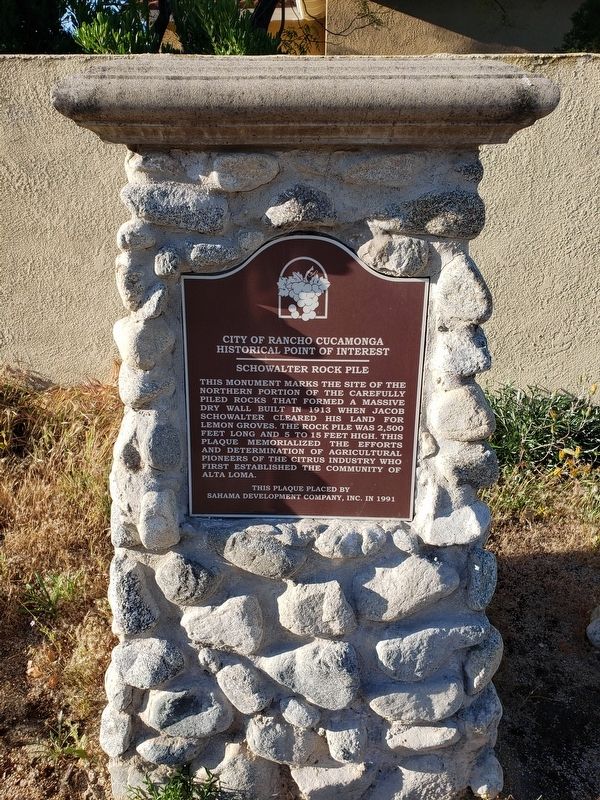
Schowalter Rock Pile
City of Rancho Cucamonga Historical Point of Interest
Erected 1991 by Sahama Development Company, INC.
Topics. This historical marker is listed in this topic list: Agriculture. A significant historical year for this entry is 1913.
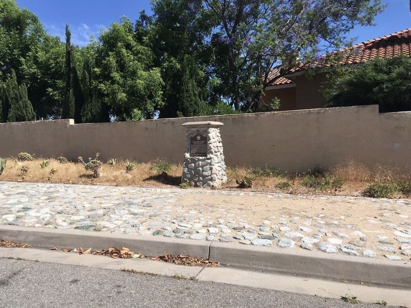
Location. 34° 9.305′ N, 117° 34.959′ W. Marker is in Rancho Cucamonga, California, in San Bernardino County. Marker is on Jacaranda Court, 0.1 miles north of Hillside Road, on the left when traveling west. The marker is located within a residential area across from a row of houses. The marker itself is placed on a bed of decorative stones. Touch for map. Marker is at or near this postal address: 10180 Jacaranda Court, Rancho Cucamonga CA 91737, United States of America. Touch for directions.
Other nearby markers. At least 8 other markers are within 3 miles of this marker, measured as the crow flies. A different marker also named Schowalter Rock Pile (about 300 feet away, measured in a direct line); Demens-Tolstoy House (approx. 0.7 miles away); G.P. Ledig House (approx. 1.2 miles away); Alta Loma Honor Roll (approx. 1.7 miles away); The I.W.Lord Home (approx. 2 miles away); Alta Loma Packing House / Pacific Electric Railway (approx. 2.4 miles away); Vietnam Memorial Rose Garden (approx. 2.9 miles away); Cucamonga Rock Church (approx. 2.9 miles away). Touch for a list and map of all markers in Rancho Cucamonga.
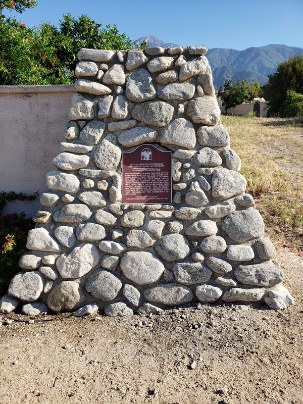
More about this marker. There is an identical marker on the road just south of this one called Hillside Road. A short dirt path connects them both.
Regarding Schowalter Rock Pile. The rock pile that the marker describes no longer exists.
Credits. This page was last revised on June 16, 2020. It was originally submitted on May 9, 2020, by Levi Gonzalez of Rancho Cucamonga, California. This page has been viewed 391 times since then and 37 times this year. Last updated on May 11, 2020, by Levi Gonzalez of Rancho Cucamonga, California. Photos: 1. submitted on May 9, 2020, by Levi Gonzalez of Rancho Cucamonga, California. 2. submitted on June 12, 2020, by Craig Baker of Sylmar, California. 3, 4. submitted on May 9, 2020, by Levi Gonzalez of Rancho Cucamonga, California. • Syd Whittle was the editor who published this page.


