Rancho Cucamonga in San Bernardino County, California — The American West (Pacific Coastal)
Alta Loma Packing House
⎯⎯⎯
Pacific Electric Railway
Photographed by Levi Gonzalez, January 15, 2020
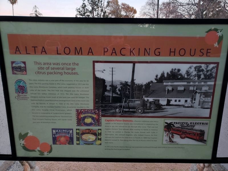
1. Alta Loma Packing House Marker - Side A
Side A:
Captain Peter Demens, a Russian nobleman who was a captain in the Imperial Guard, was instrumental in organizing the drive to get the railroad to run through Alta Loma. That was not Captain Demens' first
this page online
In 1913, the Pacific Electric Railway was extended northward through Alta Loma to shorten the time from picking the fruit to get to market.
Side B:
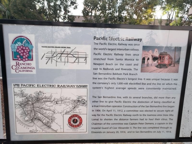
The San Bernardino line, with its several branches, did more than any other line to give Pacific Electric the distinction of being classified as a true interurban operator. Construction of the San
Photographed by Levi Gonzalez, January 15, 2020
2. Pacific Electric Railway Marker - Side B
Topics. This historical marker is listed in these topic lists: Agriculture • Industry & Commerce • Railroads & Streetcars.
Location. 34° 7.411′ N, 117° 35.906′ W. Marker is in Rancho Cucamonga, California, in San Bernardino County. It is on Amethyst Avenue 0.2 miles north of Baseline Road, on the right when traveling south. The marker is on the Pacific Electric Trail, a recreational trail that cuts through the city. It is next to a small parking lot utilized for access to trail. Touch for map. Marker is at or near this postal address: 7166 Amethyst Avenue, Rancho Cucamonga CA 91701, United States of America. Touch for directions.

Regionally,
Photographed by Craig Baker, June 12, 2020
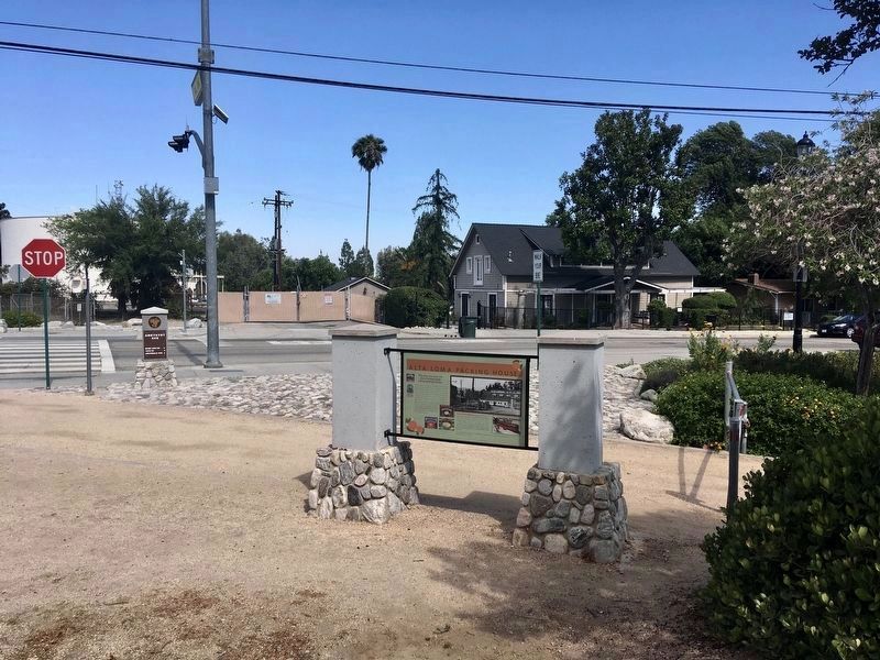
3. Alta Loma Packing House Marker
Other nearby markers. At least 8 other markers are within 2 miles of this marker, measured as the crow flies: The I.W.Lord Home (approx. 0.6 miles away); Cucamonga Rock Church (approx. 0.7 miles away); Alta Loma Honor Roll (approx. 0.7 miles away); Vietnam Memorial Rose Garden (approx. 0.8 miles away); John Rains House (approx. 1.1 miles away); El Camino Real Bells (approx. 1.2 miles away); City of Rancho Cucamonga Historic Landmark (2009) (approx. 1.2 miles away); Cucamonga Service Station (approx. 1.2 miles away). Touch for a list and map of all markers in Rancho Cucamonga.
Photographed by Craig Baker, June 12, 2020
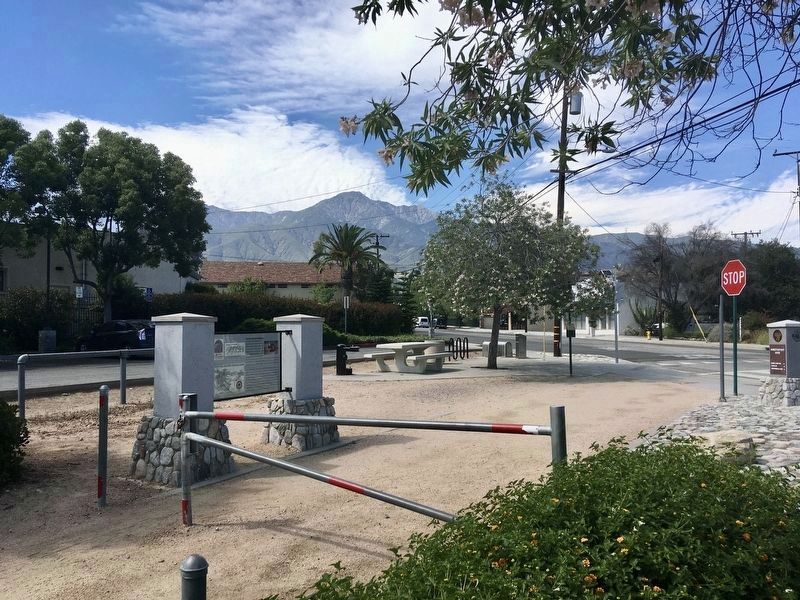
4. Pacific Electric Railway Marker
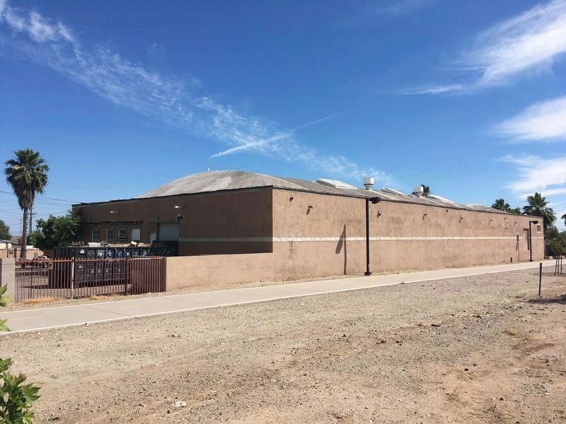
Photographed by Craig Baker, June 12, 2020
5. Alta Loma Packing House
Located 400 feet southwest of the marker.
Credits. This page was last revised on February 12, 2022. It was originally submitted on May 11, 2020, by Levi Gonzalez of Rancho Cucamonga, California. This page has been viewed 1,409 times since then and 108 times this year. Photos: 1, 2. submitted on May 11, 2020, by Levi Gonzalez of Rancho Cucamonga, California. 3, 4, 5. submitted on June 12, 2020, by Craig Baker of Sylmar, California. • Syd Whittle was the editor who published this page.
