Claremont in Los Angeles County, California — The American West (Pacific Coastal)
Mallows Park
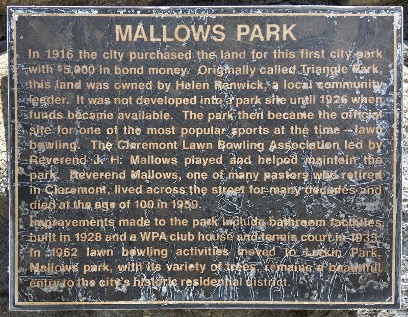
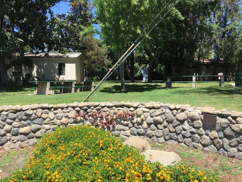
In 1916 the city purchased the land for this first city park with $5,000 in bond money. Originally called Triangle Park, this land was owned by Helen Renwick, a local community leader. It was not developed into a park site until 1926 when funds became available. The park then became the official site for one of the most popular sports at the time — lawn bowling. The Claremont Lawn Bowling Association led by Reverend J.H. Mallows played and helped maintain the park. Reverend Mallows, one of many pastors who retired in Claremont, lived across the street for many decades and died at the age of 100 in 1959.
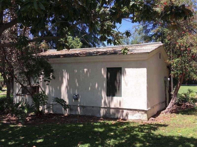
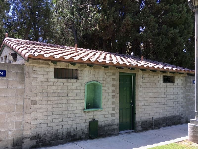
Improvements made to the park include bathroom facilities built in 1928 and a WPA club house and tennis court in 1935. In 1962 lawn bowling activities moved to Larkin Park. Mallows park, with its variety of trees, remains a beautiful entry to the city's historic residential district.
Topics. This historical marker is listed in these topic lists: Parks & Recreational Areas • Settlements & Settlers • Sports. A significant historical year for this entry is 1916.
Location. 34° 5.919′ N, 117° 43.189′ W. Marker is in Claremont, California, in Los Angeles County. Marker is at the intersection of Indian Hill Boulevard and Harrison Avenue, on the right when traveling north on Indian Hill Boulevard. Touch for map. Marker is at or near this postal address: 520 North Indian Hill Boulevard, Claremont CA 91711, United States of America. Touch for directions.
Other nearby markers. At least 8 other markers are within 3 miles of this marker, measured as the crow flies. Claremont City Hall (approx. ¼ mile away); Memorial Park (approx. ¼ mile away); The Claremont Depot (approx. 0.4 miles away); Cahuilla Park (approx. 1.1 miles away); Adobe de Palomares (approx. 1.4 miles away); The Historic Pitzer House and Garage (approx. 1.8 miles away); Hortense Lear Home (approx. 2½ miles away); “Scubie” Mills Heritage Trees (approx. 2.6 miles away). Touch for a list and map of all markers in Claremont.
Credits. This page was last revised on January 30, 2023. It was originally submitted on May 12, 2020, by Craig Baker of Sylmar, California. This page has been viewed 370 times since then and 79 times this year. Photos: 1, 2, 3, 4. submitted on May 12, 2020, by Craig Baker of Sylmar, California. • Syd Whittle was the editor who published this page.


