
Petersburg, Virginia — The American South (Mid-Atlantic)
Newmarket Racecourse
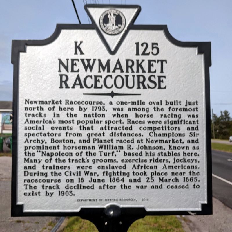
Photographed by Bernard Fisher, May 12, 2020
1. Newmarket Racecourse Marker
Erected 2018 by Department of Historic Resources. (Marker Number K-125.)
Topics and series. This historical marker is listed in these topic lists: African Americans • Sports • War, US Civil. In addition, it is included in the Virginia Department of Historic Resources (DHR) series list. A significant historical year for this entry is 1793.
Location. 37° 14.302′ N, 77° 22.511′ W. Marker is in Petersburg, Virginia. It is at the intersection
this page online

Regionally, this marker is in Central Virginia. It is also in the American South and specifically in the Upper South. Globally, it is in North America, the Western Hemisphere, the Western World, and the Anglosphere. Historically, it finds itself in what was once the territory of the Mississippian Culture, one of the original Thirteen Colonies, one of the Confederate States of America, and the Antebellum South.
Other nearby markers. At least 8 other markers are within walking distance of this marker: First Maine Heavy Artillery Monument (approx. 0.4 miles away); Lee's Last Offensive (approx. half a mile away); Charge of the 1st Maine Heavy Artillery (approx. half a mile away); a different marker also named Colquitt’s Salient (approx. half a mile away); Prince George Court House Road (approx. half a mile away); Fort Stedman (approx. 0.6 miles away); a different marker also named
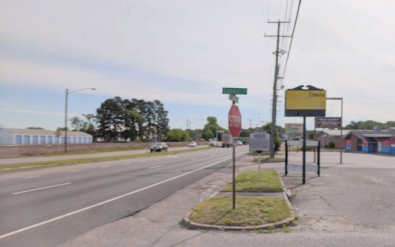
Photographed by Bernard Fisher, May 12, 2020
2. East Washington Street (facing east)
Other markers no longer nearby. Battle of Petersburg, 25 April 1781 (was about 400 feet away, measured in a direct line but has been confirmed missing); Hare House Site (was approx. half a mile away but has been permanently removed); Colquitt's Salient (was approx. half a mile away but has been confirmed missing); Wasted Valor (was approx. half a mile away but has been replaced with another marker now near it); Colquitt’s Salient Trail (was approx. half a mile away but has been reported to have been replaced with another marker now near it).
Credits. This page was last revised on March 5, 2024. It was originally submitted on May 12, 2020, by Bernard Fisher of Richmond, Virginia. This page has been viewed 1,249 times since then and 79 times this year. Photos: 1, 2. submitted on May 12, 2020, by Bernard Fisher of Richmond, Virginia.
