Near Wadsworth in Washoe County, Nevada — The American Mountains (Southwest)
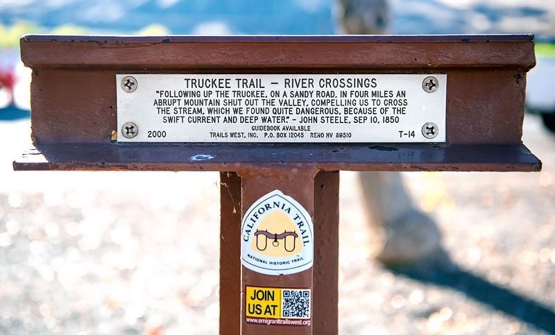
Truckee Trail - River Crossings
Erected 2000 by Trails West Inc. (Marker Number T-14.)
Topics and series. This historical marker is listed in these topic lists: Roads & Vehicles • Settlements & Settlers. In addition, it is included in the California Trail, the Kit Carson Trail, the Trails West Inc., and the Truckee Trail series lists. A significant historical date for this entry is September 10, 1850.
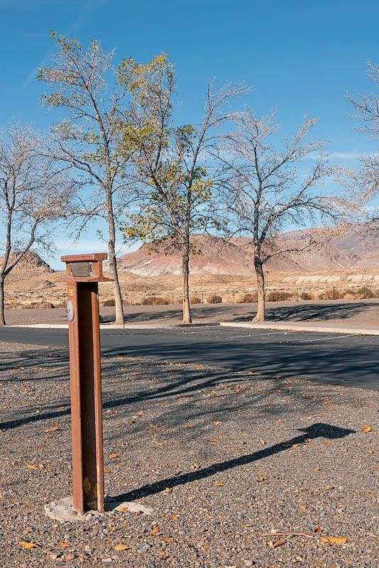
Location. 39° 36.17′ N, 119° 20.22′ W. Marker is near Wadsworth, Nevada, in Washoe County. Marker can be reached from Interstate 80. The marker is in the Wadsworth Rest Area on I-80 Westbound about 8.2 miles west of the Wadsworth exit. Touch for map. Marker is in this post office area: Wadsworth NV 89442, United States of America. Touch for directions.
Other nearby markers. At least 6 other markers are within 6 miles of this marker, measured as the crow flies. Olinghouse (within shouting distance of this marker); The Dwight D. Eisenhower Highway (within shouting distance of this marker); The First Drink of Cold Water (within shouting distance of this marker); Wadsworth (approx. 3.6 miles away); Rush to the River (approx. 5.3 miles away); America's First Transcontinental Highway (approx. 5.9 miles away).
More about this marker.
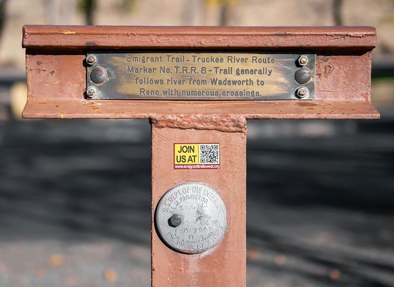
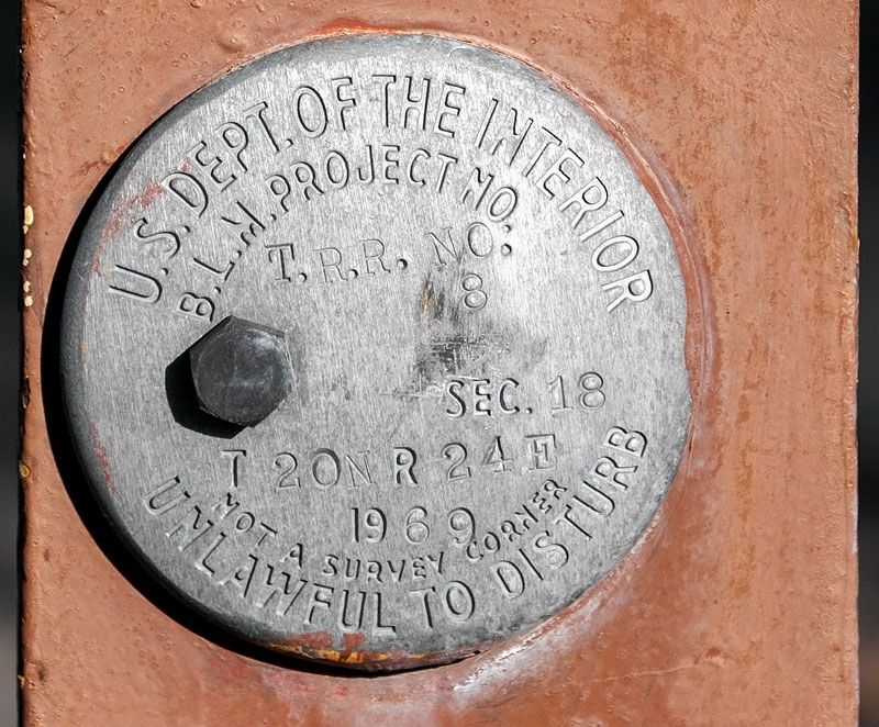
This T-marker has two plates, a newer one sponsored by Trails West Inc. in the year 2000 and an older one sponsored by the Nevada Emigrant Trail Marking Committee (NETMC) in the year 1969.
Between 1968 and 1974, NETMC erected markers on the Carson Trail, the California Trail and the Truckee Trail. NETMC was the first organization to mark emigrant trails with steel rail T-markers in western Nevada.
In 1975, NETMC transferred ownership of the markers to Trails West Inc. Trails West Inc integrated most of the old markers into its trail marking system.
Credits. This page was last revised on May 14, 2020. It was originally submitted on May 13, 2020, by Alvis Hendley of San Francisco, California. This page has been viewed 215 times since then and 33 times this year. Photos: 1, 2, 3, 4. submitted on May 13, 2020, by Alvis Hendley of San Francisco, California. • Syd Whittle was the editor who published this page.


