Charlottetown in Queens County, Prince Edward Island — The Atlantic Provinces (North America)
The Site of Charlottetown
Le Site de Charlottetown
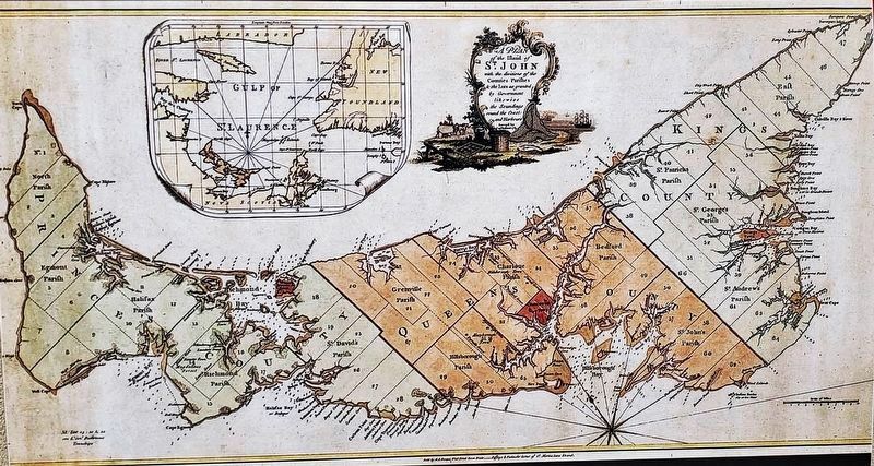
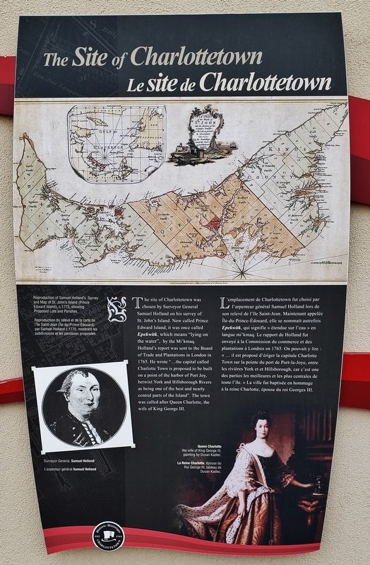
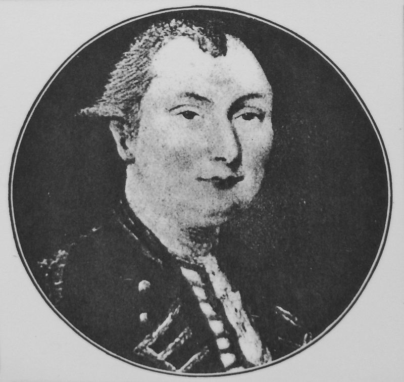
The site of Charlottetown was chosen by Surveyor General Samuel Holland on his survey of St. John's Island. Now called Prince Edward Island, it was once called Epekwitk, which means "lying on the water", by the Mi'kmaq. Holland's report was sent to the Board of Trade and Plantations in London in 1765. He wrote "...the capital called Charlotte Town is proposed to be built on a point of the harbor of Port Joy, betwixt York and Hillsborough Rivers as being one of the best and nearly central parts of the Island". The town was called after Queen Charlotte, the wife of King George III
L'emplacement de Charlottetown fut choisi par l'arpenteur général Samuel Holland lors de son relevé de l'île Saint-Jean. Maintenant appelée île-du-Prince-Édouard, elle se nommait autrefois Epekwitk, qui signifie « étendue sur l'eau » en langue mi'kmaq. Le rapport de Holland fut envoyé à la Commission du commerce et des plantations à Londres en 1765. On pouvait y lire : « ... il est proposé d'ériger la capitale Charlotte Town sur la pointe du port de Port-la-Joye, entre les rivières York et Hillsborough, car c'est une des parties les meilleures et les plus centrales de toute l'île. » La ville fut baptisée en hommage à la reine Charlotte, épouse du roi Georges III.
Erected by Historic Charlottetown.
Topics. This historical marker is listed in these topic lists: Colonial Era • Settlements & Settlers. A significant historical year for this entry is 1765.
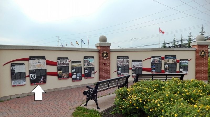
Location. 46° 14.459′ N, 63° 6.874′ W. Marker is in Charlottetown, Prince Edward Island, in Queens County. Marker is at the intersection of Water Street (Prince Edward Island Route 1) and Grafton Street, on the left when traveling north on Water Street. Marker is located in the "Welcome to Charlottetown" plaza at the southwest corner of the intersection. Touch for map. Marker is in this post office area: Charlottetown PE C1A 1M1, Canada. Touch for directions.
Other nearby markers. At least 8 other markers are within walking distance of this marker. Birthplace of Confederation (here, next to this marker); The Lay of the Town (here, next to this marker); The Historic Port of Charlottetown (here, next to this marker); The City of Charlottetown (here, next to this marker); Predominantly a Wooden Town (here, next to this marker); Making History in 1864 (here, next to this marker); Provincial Governance (here, next to this marker); A Centre for the Arts (here, next to this marker). Touch for a list and map of all markers in Charlottetown.
Related markers.

2. Marker detail: Reproduction of Samuel Holland's Survey
Reproduction du relevé et de la carte de l'Île Saint-Jean (Île-du-Prince-Édouard) par Samuel Holland c.1775, montrant les subdivisions et les paroisses proposées.
Also see . . .
1. Samuel Holland Surveys the Island. Holland travelled to London in 1762 and proposed to the Board of Trade and Plantations that new maps were needed in order to facilitate future settlement. His proposal was eventually accepted, and in 1764 Holland returned to North America with a new title: Surveyor General of Quebec. Holland had been given the enormous task of surveying the British territory north of the Potomac River. As a warm up, he began by surveying tiny Prince Edward Island over the winter of 1764-1765. The Island would literally never be the same. (Submitted on May 15, 2020, by Cosmos Mariner of Cape Canaveral, Florida.)
2. Capt. Samuel Johannes Holland and His Survey of St. John's Island. He began his Island mapping at Fort Amherst (now widely known as Holland Cove) in October 1764, completing his PEI mapping two years later. Perhaps no one man affected the history of the Island as much as did Samuel Holland. He was a brilliant and productive surveyor for the times, and his survey, which set out the Island in its lots, still a very large part of its mapping to this day. (Submitted on May 15, 2020, by Cosmos Mariner of Cape Canaveral, Florida.)
Credits. This page was last revised on May 17, 2020. It was originally submitted on May 13, 2020, by Cosmos Mariner of Cape Canaveral, Florida. This page has been viewed 154 times since then and 12 times this year. Photos: 1, 2, 3, 4, 5. submitted on May 15, 2020, by Cosmos Mariner of Cape Canaveral, Florida.


