Charlottetown in Queens County, Prince Edward Island — The Atlantic Provinces (North America)
Predominantly a Wooden Town
Une ville surtout faite de bois
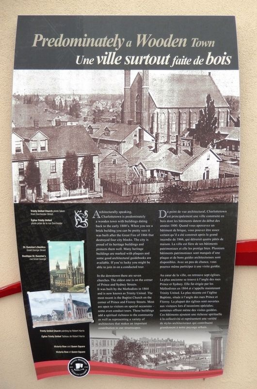
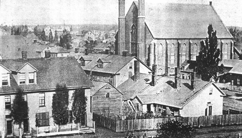
Architecturally speaking, Charlottetown is predominately a wooden town with buildings dating back to the early 1800's. When you see a brick building you can be pretty sure it was built after the Great Fire of 1866 that destroyed four city blocks. The city is proud of its heritage buildings and protects them well. Many heritage buildings are marked with plaques and some good architectural guidebooks are available. If you're lucky you might be able to join in on a conducted tour.
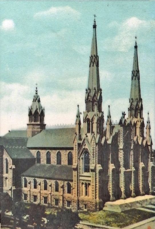
In the downtown there are seven churches. The oldest one is on the corner of Prince and Sydney Streets. It was built by the Methodists in 1864 and is now known as Trinity United. The most recent is the Baptist Church on the corner of Prince and Fitzroy Streets. Most are open to visitors on special occasions — some even conduct tours. These buildings add a spiritual richness to the community as well as representing a variety of architecture that makes an important contribution to our streetscapes.
Du point de vue architectural, Charlottetown est principalement une ville construite en bois dont les bâtiments datent du début des années 1800. Quand vous apercevez un bâtiment de brique, vous pouvez être assez certain qu'il a été construit après le grand incendie de 1866, qui détruisit quatre pâtés de maison. La ville est fière de ses bâtiments patrimoniaux et elle les protège bien. Plusieurs bâtiments patrimoniaux sont marqués d'une plaque et de bons guides architecturaux sont disponibles. Avec un peu de chance, vous pourrez même participer à une visite guidée.
Au cœur de la ville, on retrouve sept églises. La plus ancienne se trouve à l'angle des rues Prince et Sydney. Elle fut érigée par les Méthodistes en 1864 et s'appelle maintenant Trinity United. La plus récente est l'église Baptiste, située à l'angle des rues Prince et Fitzroy. La plupart des églises sont ouvertes aux visiteurs lors d'occasions spéciales; certaines offrent même des visites guidées. Ces bâtiments ajoutent une richesse spirituelle à la collectivité et représentent une variété de styles architecturaux qui contribuent grandement à notre paysage urbain.
Erected by Historic Charlottetown.
Topics. This historical marker is listed in these topic lists: Architecture • Churches & Religion • Disasters. A significant historical year for this entry is 1800.
Location. 46° 14.46′ N, 63° 6.873′ W. Marker
is in Charlottetown, Prince Edward Island, in Queens County. Marker is at the intersection of Water Street (Prince Edward Island Route 1) and Grafton Street, on the left when traveling north on Water Street. Marker is located in the "Welcome to Charlottetown" plaza at the southwest corner of the intersection. Touch for map. Marker is in this post office area: Charlottetown PE C1A 1M1, Canada. Touch for directions.
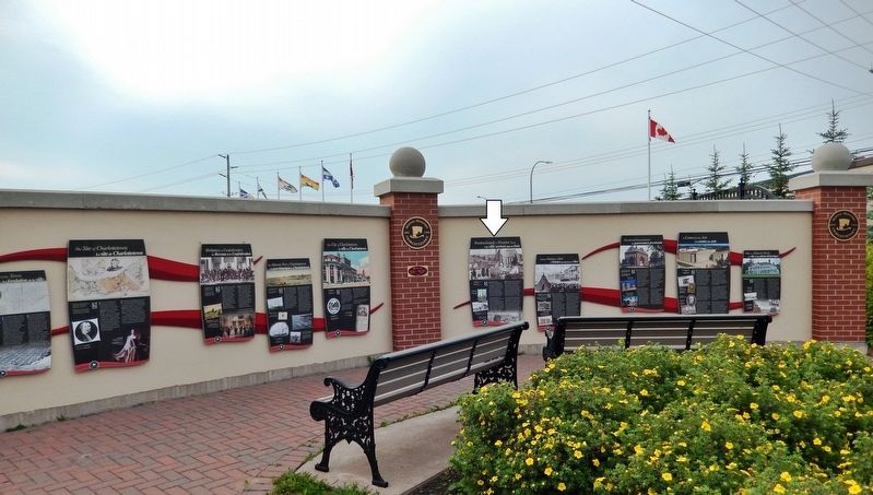
Other nearby markers. At least 8 other markers are within walking distance of this marker. Making History in 1864 (here, next to this marker); Provincial Governance (here, next to this marker); The City of Charlottetown (here, next to this marker); A Centre for the Arts (here, next to this marker); Site of a Historic Photo (here, next to this marker); The Historic Port of Charlottetown (here, next to this marker); Birthplace of Confederation (here, next to this marker); The Site of Charlottetown (here, next to this marker). Touch for a list and map of all markers in Charlottetown.
Related markers. Click here for a list of markers that are related to this marker. Historic Charlottetown, Prince Edward Island
Also see . . . Fire in Charlottetown, 1866. (The Herald 18 July, 1866, page 2) It is our painful duty this week to record one of the most disastrous and destructive fires that has ever visited Charlottetown. Four blocks in the most business part of the city, extending in one direction from Dorchester to Water Street, and in
the other from Pownal to Great George Street, and comprising upwards of one hundred dwelling houses and places of business, have been destroyed… (Submitted on May 16, 2020, by Cosmos Mariner of Cape Canaveral, Florida.)
Credits. This page was last revised on March 3, 2024. It was originally submitted on May 13, 2020, by Cosmos Mariner of Cape Canaveral, Florida. This page has been viewed 76 times since then and 7 times this year. Photos: 1, 2, 3, 4, 5. submitted on May 16, 2020, by Cosmos Mariner of Cape Canaveral, Florida.


