San Marcos in Hays County, Texas — The American South (West South Central)
Thompson's Islands
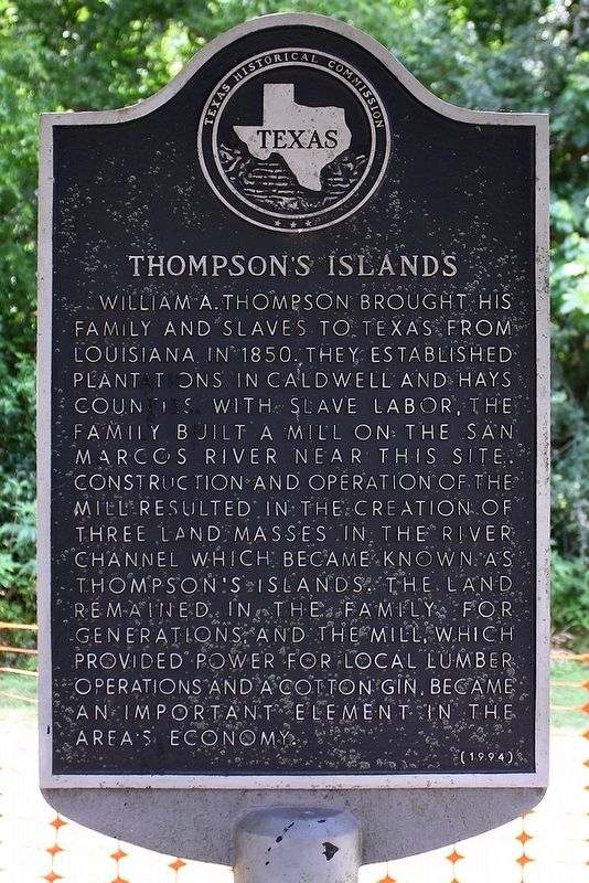
Photographed by Larry D. Moore, May 11, 2020
1. Thompson's Islands Marker
Erected 1993 by Texas Historical Commission. (Marker Number 10331.)
Topics. This historical marker is listed in these topic lists: Industry & Commerce • Settlements & Settlers. A significant historical year for this entry is 1850.
Location. 29° 52.177′ N, 97° 55.724′ W. Marker is in San Marcos, Texas, in Hays County. It is on Cape Street (County Road 299) west of River Road, on the left when traveling west. Touch for map. Marker is in this post office area: San Marcos TX 78666, United States of America. Touch for directions.

Regionally, this marker is in the Hill Country and in the Austin Metropolitan Area. It is also in the American South. Globally, it is in North America, a Gulf of Mexico state, the Western Hemisphere, the Western World, and the Anglosphere. Historically, it finds itself in what was once New Spain, the Republic of Texas, one of the Confederate States of America, and the Antebellum South.
Other nearby markers. At least 8 other markers are within one mile of this marker, measured as the crow flies: Thompson's Island Homeplace (about 600 feet away, measured in a direct line); Rio Vista Dam (approx. 0.6 miles away); Southside School (approx. 0.7 miles away); Farmers Union Gin Company (approx. 0.9 miles away); Wesley Chapel A. M. E. Church
this page online
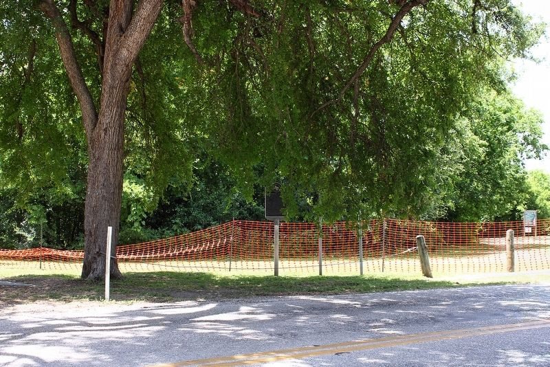
Photographed by Larry D. Moore, May 11, 2020
2. Thompson's Islands Marker Area
Credits. This page was last revised on May 13, 2020. It was originally submitted on May 13, 2020, by Larry D. Moore of Del Valle, Texas. This page has been viewed 989 times since then and 65 times this year. Photos: 1, 2. submitted on May 13, 2020, by Larry D. Moore of Del Valle, Texas.
