Hendersonville in Sumner County, Tennessee — The American South (East South Central)
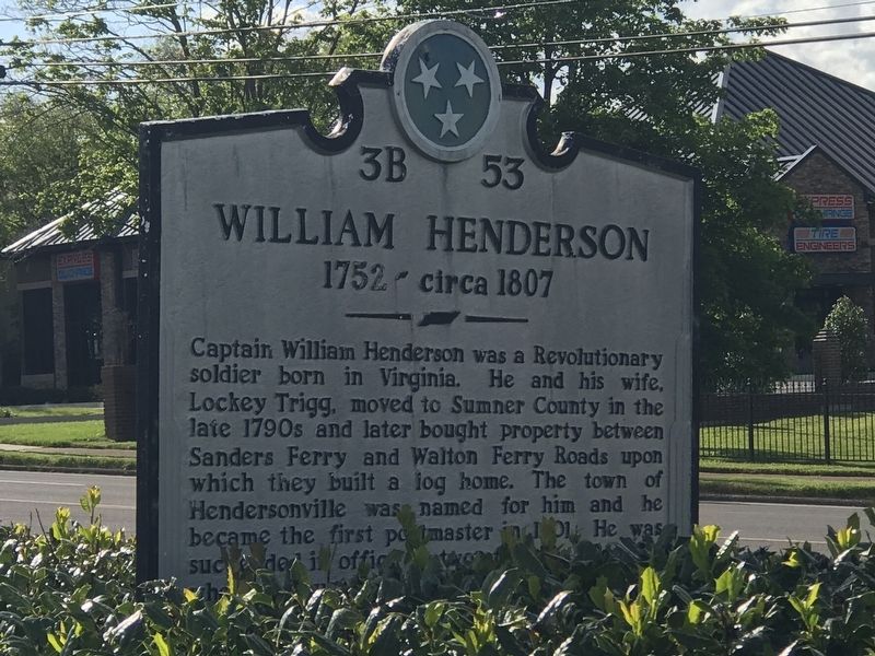
William Henderson
1752-circa 1807
Erected by Tennessee Historical Commission. (Marker Number 3B 53.)
Topics. This historical marker is listed in these topic lists: Cemeteries & Burial Sites • Settlements & Settlers • War, US Revolutionary. A significant historical year for this entry is 1752.
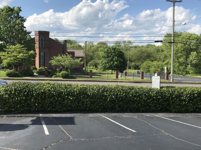
Location. 36° 18.306′ N, 86° 37.042′ W. Marker is in Hendersonville, Tennessee, in Sumner County. Marker is on West Main Street (U.S. 31E) just west of Sanders Ferry Road, on the left when traveling west. Touch for map. Marker is at or near this postal address: 177 West Main Street, Hendersonville TN 37075, United States of America. Touch for directions.
Other nearby markers. At least 8 other markers are within 3 miles of this marker, measured as the crow flies. Confederate Memorial at First Presbyterian Church (within shouting distance of this marker); Taylor Swift (approx. 0.3 miles away); Hazel Path Mansion (approx. 0.6 miles away); Rock Castle (approx. 0.7 miles away); Strategic Location (approx. 1.1 miles away); Eventide (approx. 1.2 miles away); Free Hill Road (approx. 1.7 miles away); a different marker also named Rock Castle (approx. 2.1 miles away). Touch for a list and map of all markers in Hendersonville.
More about this marker. Linda Wynn of the Tennessee Historical Commission provided the complete marker text.
Credits. This page was last revised on July 15, 2022. It was originally submitted on May 13, 2020, by Duane and Tracy Marsteller of Murfreesboro, Tennessee. This page has been viewed 869 times since then and 169 times this year. Photos: 1, 2. submitted on May 13, 2020, by Duane and Tracy Marsteller of Murfreesboro, Tennessee. • Devry Becker Jones was the editor who published this page.

