American Fork in Utah County, Utah — The American Mountains (Southwest)
First Flour Mill
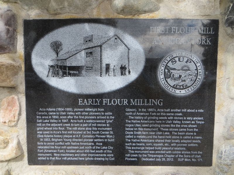
Early Flour Milling
In 1853, Brigham Young directed pioneer settlers to build forts to avoid conflict with Native Americans. Arza relocated his flour mill upstream just north of the Lake City Fort (American Fork), located about 450 feet south of this monument. New machinery and other improvements were added to that flour mill pictured here (photo drawing by Gail Gibson). In the 1880’s Arza built another mill about a mile north of American Fork on this same creek.
The history of grinding seeds with stones is very ancient. The Native Americans here in Utah Valley, known as Timpanogos Utes, used grinding stones like the ones shown below this monument. These stones came from the Doyle Smith farm near Utah Lake. The basin stone is called a metate, and the hand-held stone is called a mano. The Native Americans shared their locally adapted seeds, such as beans, corn, squash, etc., with pioneer settlers. This exchange helped build peaceful relations.
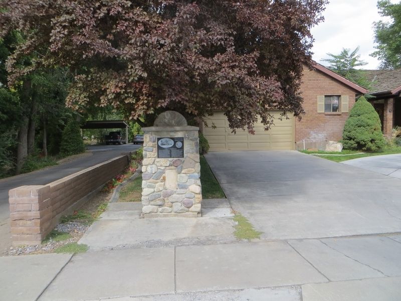
This monument was erected with cobble stones from the mill creek by the Timpanogos Chapter of the Sons of Utah Pioneers.
Erected 2012 by Sons of Utah Pioneers. (Marker Number 171.)
Topics and series. This historical marker is listed in these topic lists: Industry & Commerce • Settlements & Settlers. In addition, it is included in the Sons of Utah Pioneers series list. A significant historical year for this entry is 1850.
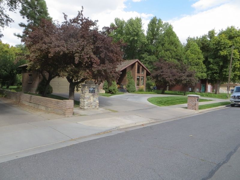
Location. 40° 22.869′ N, 111° 47.842′ W. Marker is in American Fork, Utah, in Utah County. Marker is on East 200 North, 0.1 miles east of North Center Street, on the left when traveling east. Touch for map. Marker is in this post office area: American Fork UT 84003, United States of America. Touch for directions.
Other nearby markers. At least 8 other markers are within walking distance of this marker. Pioneer Cemetery (approx. 0.2 miles away); Harrington Elementary School (approx. 0.2 miles away); First Presbyterian Church of American Fork (approx. 0.2 miles away); Veterans Memorial Building (approx. ¼ mile away); American Fork City Hall (approx. ¼ mile away); The Historic City Hall Bell (approx. ¼ mile away); Bank of American Fork (approx. 0.3 miles away); First Free Public School (approx. 0.3 miles away). Touch for a list and map of all markers in American Fork.
Credits. This page was last revised on May 14, 2020. It was originally submitted on May 14, 2020, by Bill Kirchner of Tucson, Arizona. This page has been viewed 469 times since then and 32 times this year. Photos: 1, 2, 3. submitted on May 14, 2020, by Bill Kirchner of Tucson, Arizona.


