Wallsburg in Wasatch County, Utah — The American Mountains (Southwest)
Wallsburg Fort
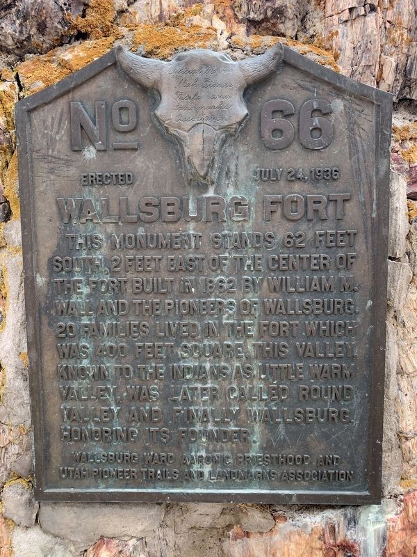
Photographed by Tyler Thorsted, April 5, 2020
1. Wallsburg Fort Marker
Erected 1936 by Wallsburg Ward Aaronic Priesthood and Utah Pioneer Trails and Landmarks Association. (Marker Number 66.)
Topics and series. This historical marker is listed in these topic lists: Forts and Castles • Religion & Religious Structures • Settlements & Settlers. In addition, it is included in the Utah Pioneer Trails and Landmarks Association series list. A significant historical year for this entry is 1862.
Location. 40° 23.175′ N, 111° 25.353′ W. Marker is in Wallsburg, Utah, in Wasatch County. It can be reached from Center Street North, on the left when traveling south. Touch for map. Marker is at or near this postal address: 110 Center St N, Wallsburg UT 84082, United States of America. Touch for directions.

Regionally, this marker is in the Wasatch Front and in Greater
this page online
Other nearby markers. At least 8 other markers are within 8 miles of this marker, measured as the crow flies: The Old Wallsburg Church Bell (approx. 0.6 miles away); Charleston Pioneers (approx. 5.9 miles away); Pioneer Cemetery (approx. 6½ miles away); Frederick & Minnie Crook Home (approx. 8 miles away); Heber Valley Railroad (approx. 8 miles away); a different marker also named Heber Valley Railroad (approx. 8 miles away); David IV & Mary Ann McDonald Fisher House (approx. 8.1 miles away); Wasatch County Veterans Memorial Park (approx. 8.1 miles away).
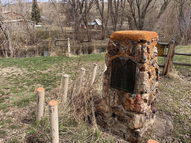
Photographed by Tyler Thorsted, April 5, 2020
2. Wallsburg Fort Marker
Credits. This page was last revised on August 20, 2023. It was originally submitted on May 14, 2020, by Tyler Thorsted of Orem, Utah. This page has been viewed 3,320 times since then and 95 times this year. Photos: 1, 2. submitted on May 14, 2020, by Tyler Thorsted of Orem, Utah. • Syd Whittle was the editor who published this page.
