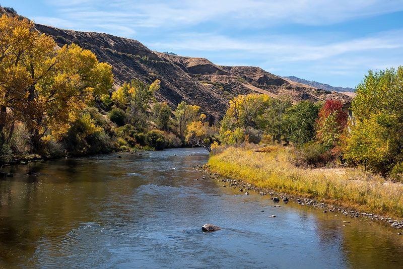
Reno in Washoe County, Nevada — The American Mountains (Southwest)
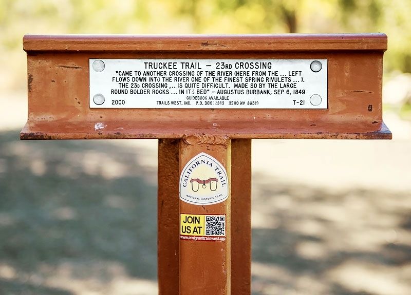
Truckee Trail - 23rd Crossing
Erected 2000 by Trails West Inc. (Marker Number 21.)
Topics and series. This historical marker is listed in these topic lists: Roads & Vehicles • Settlements & Settlers. In addition, it is included in the California Trail, the Trails West Inc., and the Truckee Trail series lists. A significant historical date for this entry is September 6, 1849.
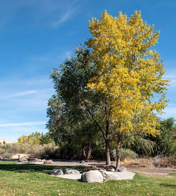
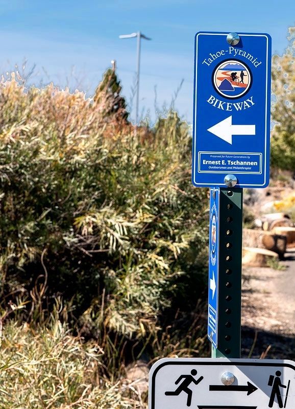
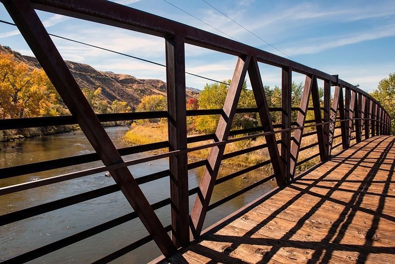
Location. 39° 30.274′ N, 119° 53.573′ W. Marker is in Reno, Nevada, in Washoe County. Marker is on Tahoe Pyramid Bikeway, on the right when traveling west. From Eastbound I-80, take the Mogul Exit (Exit 4) which becomes West 4th Street. Drive one mile on West 4th Street to Woodland Avenue and turn right. Drive about six hundred feet to White Fir Street and turn left. Drive about 0.4 miles on White Fir Street until it becomes Aspen Glen Drive and dead ends at the Truckee River and the entrance to the Tahoe Pyramid Bikeway. The marker is beside the bikeway about one hundred feet from Aspen Glen Drive. Touch for map. Marker is in this post office area: Reno NV 89523, United States of America. Touch for directions.
Other nearby markers. At least 8 other markers are within 5 miles of this marker, measured as the crow flies. Truckee Trail - River Crossings (approx. 2.4 miles away); The Lincoln Highway Bridge Rails (approx. 2.4 miles away); The Humboldt Trail (approx. 4.2 miles away); Lake Mansion (approx. 4.3 miles away); Site of Reno Air Mail Field (approx. 4.3 miles away); The Truckee River (approx. 4.4 miles away); Reno's Beginning (approx. 4.4 miles away); Salvation Army (approx. 4˝ miles away). Touch for a list and map of all markers in Reno.
Credits. This page was last revised on May 14, 2020. It was originally submitted on May 14, 2020, by Alvis Hendley of San Francisco, California. This page has been viewed 233 times since then and 19 times this year. Photos: 1, 2, 3, 4, 5. submitted on May 14, 2020, by Alvis Hendley of San Francisco, California. • Syd Whittle was the editor who published this page.
