Stockton in Tooele County, Utah — The American Mountains (Southwest)
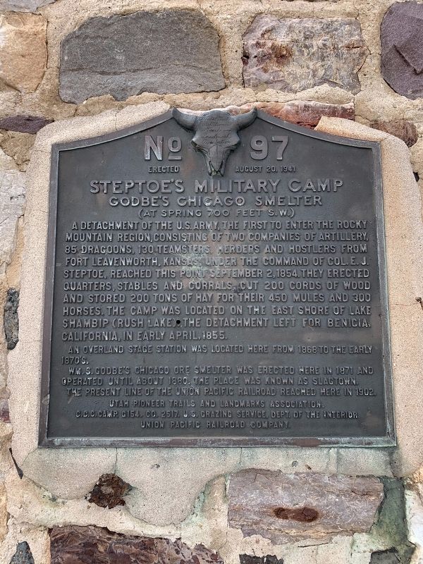
Steptoe's Military Camp
Godbe's Chicago Smelter
— (At Spring 700 feet S.W.) —
detachment of the U.S. Army, the first to enter the Rocky Mountain region, consisting of two companies of artillery, 85 dragoons, 130 teamsters, herders and hostlers from Fort Leavenworth, Kansas, under the command of Col. E.J. Steptoe, reach this point September 2, 1854. They erected quarters, stables and corrals, cut 200 cords of wood and stored 200 tons of hay for their 450 mules and 300 horses. The camp was located on the East shore of Lake Shambip (Rush Lake). The detachment left for Benicia, California, in early April, 1855.
An overland Stage Station was located here from 1868 to the early 1870's.
W.M. S. Godbe's Chicago ore smelter was erected here in 1871 and operated until about 1880. The place was known as Slagtown. The present line of the Union Pacific Railroad reached here in 1902.
Erected 1941 by Utah Pioneer Trails and Landmarks Association. (Marker Number 97.)
Topics and series. This historical marker is listed in these topic lists: Forts and Castles • Military • Railroads & Streetcars. In addition, it is included in the Utah Pioneer Trails and Landmarks Association series list. A significant historical year for this entry is 1855.
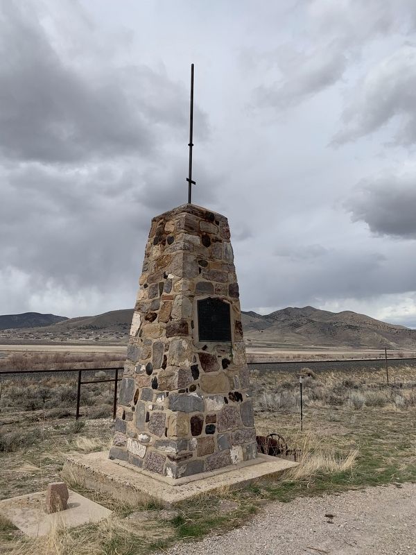
Location. 40° 25.424′ N, 112° 22.91′ W. Marker is in Stockton, Utah, in Tooele County. Marker is on Utah Route 36 north of Utah Route 73, on the right when traveling south. Touch for map. Marker is in this post office area: Stockton UT 84071, United States of America. Touch for directions.
Other nearby markers. At least 1 other marker is within 11 miles of this marker, measured as the crow flies. William Ajax Underground Store (approx. 10.7 miles away).
Credits. This page was last revised on March 19, 2024. It was originally submitted on May 14, 2020, by Tyler Thorsted of Orem, Utah. This page has been viewed 556 times since then and 28 times this year. Photos: 1, 2. submitted on May 14, 2020, by Tyler Thorsted of Orem, Utah. • Syd Whittle was the editor who published this page.

