Ridgewood Park in Dallas in Dallas County, Texas — The American South (West South Central)
St. Paul's Evangelical and Reformed Church
Photographed by Kayla Harper, May 14, 2020
1. St. Paul's Evangelical and Reformed Church Marker
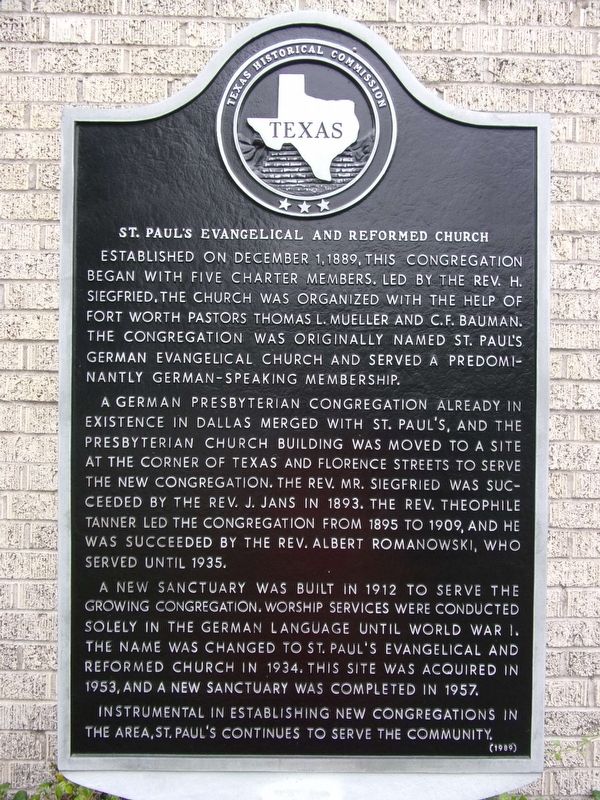
Established on December 1, 1889, this congregation began with five charter members. Led by the Rev. H. Siegfried, the church was organized with the help of Fort Worth pastors Thomas L. Mueller and C.F. Bauman. The congregation was originally named St. Paul's German Evangelical Church and served a predominantly German-speaking membership.
A German Presbyterian congregation already in existence in Dallas merged with St. Paul's, and the Presbyterian church building was moved to a site at the corner of Texas and Florence streets to serve the new congregation. The Rev. Mr. Siegfried was succeeded by the Rev. J. Jans in 1893. The Rev. Theophile Tanner led the congregation from 1895 to 1909, and he was succeeded by the Rev. Albert Romanowski, who served until 1935.
A new sanctuary was built in 1912 to serve the growing congregation. Worship services were conducted solely in the German language until World War I. The name was changed to St. Paul's Evangelical and Reformed Church in 1934. This site was acquired in 1953, and a new sanctuary was completed in 1957. Instrumental in establishing new congregations in the area, St. Paul's
this page online
Erected 1989 by Texas Historical Commission. (Marker Number 6873.)
Topics. This historical marker is listed in this topic list: Religion & Religious Structures.
Location. 32° 51.11′ N, 96° 44.959′ W. Marker is in Dallas, Texas, in Dallas County. It is in Ridgewood Park. It is on East Lovers Lane, on the right when traveling east. Touch for map. Marker is at or near this postal address: 6464 E Lovers Lane, Dallas TX 75214, United States of America. Touch for directions.

Regionally, this marker is in the Prairies & Lakes Region. Globally, it is in North America, a Gulf of Mexico state, the Western Hemisphere, the Western World, and the Anglosphere. Historically, it finds itself in what was once New Spain, the Republic of Texas, one of the Confederate States of America, and the Antebellum South.
Other nearby markers. At least 8 other markers are within 3 miles of this marker, measured as the crow flies: Zion Lutheran Church (approx. 0.6 miles away); Cox Cemetery (approx. 1.3 miles away); Dr. Marcellus Clayton Cooper (approx. 1½ miles
Photographed by Kayla Harper, May 14, 2020
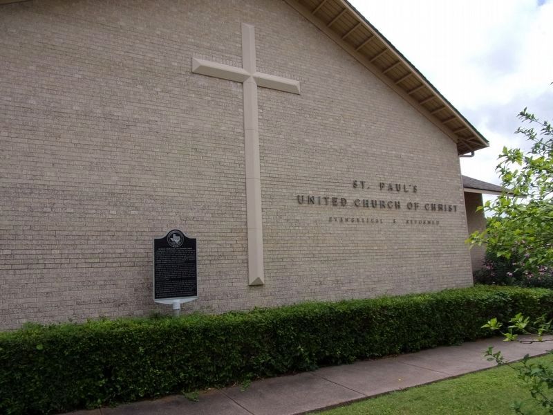
2. St. Paul's Evangelical and Reformed Church Marker
Photographed by Kayla Harper, May 14, 2020
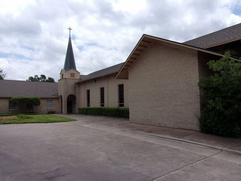
3. St. Paul's Evangelical and Reformed Church
Credits. This page was last revised on February 2, 2023. It was originally submitted on May 14, 2020, by Kayla Harper of Dallas, Texas. This page has been viewed 656 times since then and 98 times this year. Photos: 1, 2, 3. submitted on May 14, 2020, by Kayla Harper of Dallas, Texas. • J. Makali Bruton was the editor who published this page.
