Independence at the Point in Bluffdale in Salt Lake County, Utah — The American Mountains (Southwest)
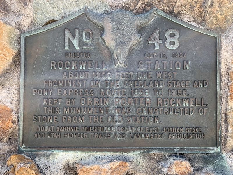
Rockwell Station
prominent on the overland stage and
Pony Express route 1858 to 1868.
Kept by Orrin Porter Rockwell.
This monument was constructed of the stone
from the old station.
Erected 1934 by Adult Aaronic Priesthood group of East Jordan Stake and Utah Pioneer Trails and Landmarks Association. (Marker Number 48.)
Topics and series. This historical marker is listed in these topic lists: Roads & Vehicles • Settlements & Settlers. In addition, it is included in the Pony Express National Historic Trail, and the Utah Pioneer Trails and Landmarks Association series lists. A significant historical year for this entry is 1858.
Location. 40° 29.162′ N, 111° 54.349′ W. Marker is in Bluffdale, Utah, in Salt Lake County. It is in Independence at the Point. Marker is at the intersection of West 14600 South (Utah Route 140) and Portern Rockwell Boulevard, on the right when traveling east on West 14600 South. Touch for map. Marker is in this post office area: Riverton UT 84065, United States of America. Touch for directions.
Other nearby markers. At least 8 other markers are within 4 miles of this marker, measured as the crow flies. War Memorial (approx. 1.8 miles away); Early Settlers of Bluffdale (approx. 2.4 miles away); Early Riverton and the Magnificent Dome Church (approx. 2.7 miles away); Riverton Tithing Yard Hill (approx. 2.8 miles away); Wardle Fields Regional Park (approx. 2.9 miles away); The Ben Meek Home (approx. 3.1 miles away); The Antone Nielson Home (approx. 3.2 miles away); The Isaac J. Dunyon House (approx. 3.2 miles away). Touch for a list and map of all markers in Bluffdale.
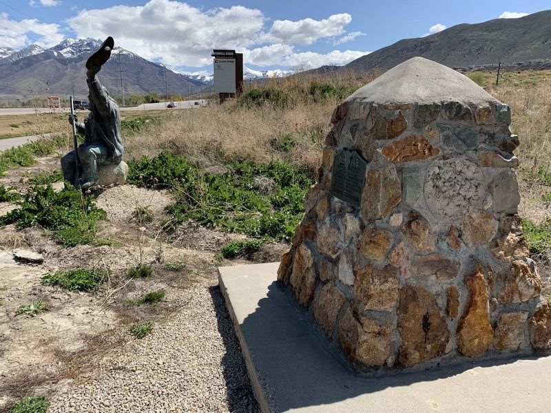
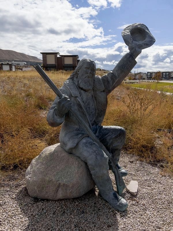
More about this marker. The marker's original location was a quarter mile to the East at the intersection of Pony Express Road and 14600 South. Monument was moved to its current location sometime in 2019 and placed next to the Porter Rockwell Statue.
Credits. This page was last revised on February 16, 2023. It was originally submitted on May 15, 2020, by Tyler Thorsted of Orem, Utah. This page has been viewed 841 times since then and 94 times this year. Photos: 1, 2. submitted on May 15, 2020, by Tyler Thorsted of Orem, Utah. 3. submitted on October 17, 2021, by Tyler Thorsted of Orem, Utah. • Syd Whittle was the editor who published this page.


