Near Moab in Grand County, Utah — The American Mountains (Southwest)
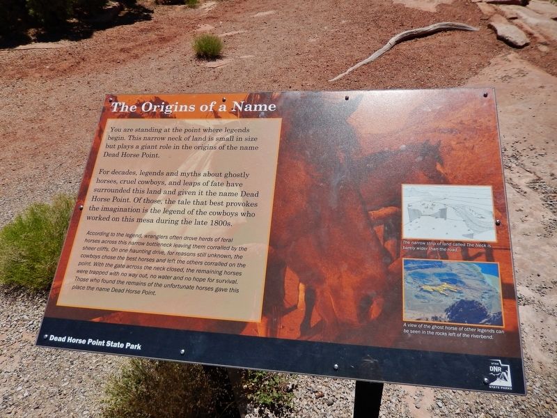
The Origins Of a Name
Dead Horse Point State Park
For decades, legends and myths about ghostly horses, cruel cowboys, and leaps of fate have surrounded this land and given it the name Dead Horse Point. Of those, the tale that best provokes the imagination is the legend of the cowboys who worked on this mesa during the late 1800s.
According to the legend, wranglers often drove herds of feral horses across this narrow bottleneck leaving them corralled by the sheer cliffs. On one haunting drive, for reasons still unknown, the cowboys chose the best horses and left the others corralled on the point. With the gate across the neck closed, the remaining horses were trapped with no way out, no water and no hope for survival. Those who found the remains of the unfortunate horses gave this place the name Dead Horse Point.
(photo captions)
• The narrow strip of land called The Neck is barely wider than the road.
• A view of the ghost horse of other legends can be seen in the rocks left of the riverbend.
Erected by Utah Division of Parks and Recreation.
Topics. This historical marker is listed in this topic list: Notable Places.
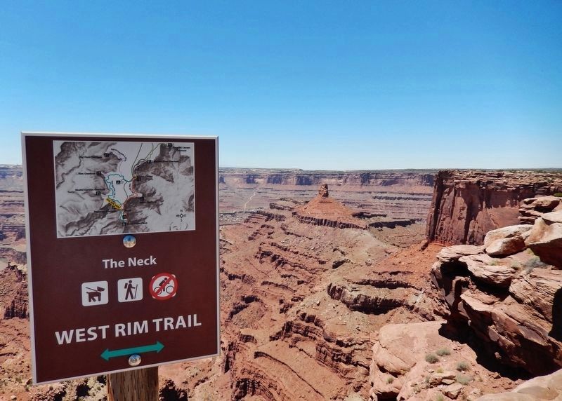
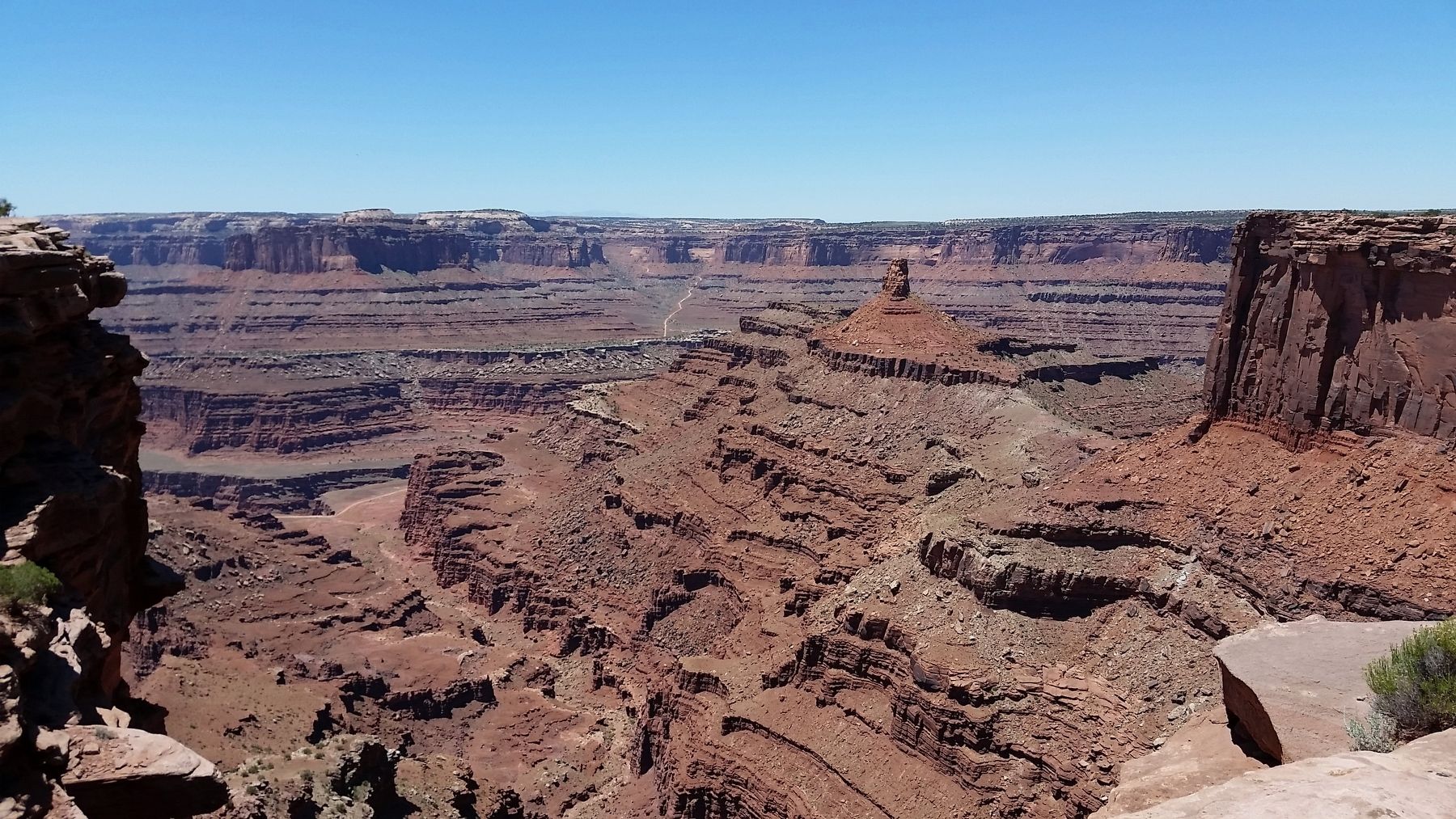
Location. 38° 28.503′ N, 109° 44.483′ W. Marker is near Moab, Utah, in Grand County. Marker is on Dead Horse Point Mesa Scenic Byway (Utah Route 313) 0.4 miles north of Dead Horse Point, on the left when traveling north. Marker is located along the West Rim Trail, at the south end of a scenic pull-out overlooking the Colorado River Canyon. Touch for map. Marker is in this post office area: Moab UT 84532, United States of America. Touch for directions.
Other nearby markers. At least 8 other markers are within 12 miles of this marker, measured as the crow flies. The Legend of Dead Horse Point (about 500 feet away, measured in a direct line); Indian Ricegrass (approx. 4.4 miles away); The Neck (approx. 4˝ miles away); Aztec Butte (approx. 9˝ miles away); John Wesley Powell on the Green River (approx. 10.4 miles away); Green River Overlook (approx. 10.4 miles away); Tracks in the Canyon (approx. 11 miles away); Scott M. Matheson (approx. 11.4 miles away). Touch for a list and map of all markers in Moab.
Credits. This page was last revised on May 15, 2020. It was originally submitted on May 15, 2020, by Cosmos Mariner of Cape Canaveral, Florida. This page has been viewed 246 times since then and 35 times this year. Photos: 1, 2, 3. submitted on May 15, 2020, by Cosmos Mariner of Cape Canaveral, Florida.


